Istria Map: Where the Peninsula Is and How Towns Fit
An Istria map shows a compact peninsula shared by Croatia and Slovenia, with Pula at its southern tip and the hill towns inland.
On this page
Istria is a compact peninsula at the top of the Adriatic, mostly in Croatia with a thin slice across the border in Slovenia, which is why the same map serves both countries. That small scale is the point: the peninsula suits short breaks because coast, Roman ruins and hill towns sit within easy reach of each other. This guide reads the map zone by zone, from the west-coast towns to Pula in the south, the inland hills and the Brijuni islands offshore, then covers driving and borders.
You will not find a single official tourist map that answers every planning question, so treat any map as a shape to think with rather than a timetable. A road atlas or offline map app gives you the road hierarchy, while ferry and boat operators publish their own routes separately. Keep a pin list of four or five bases rather than twenty scattered sights, and the peninsula stops feeling like a pin-hunt.
Where Istria sits on the map
Istria is the large peninsula at the northern end of the Adriatic, where the Croatian and Slovenian coasts meet, and Italy lies close across the water. It is small enough to cross in a morning's drive but varied enough to justify a week.
The Slovenian share is a narrow coastal strip around Koper and Piran, so a map of the peninsula will often show an international border running just north of the Croatian west coast. Plan your route knowing you may cross that line between towns rather than at a frontier far inland.
How to read the peninsula: four zones
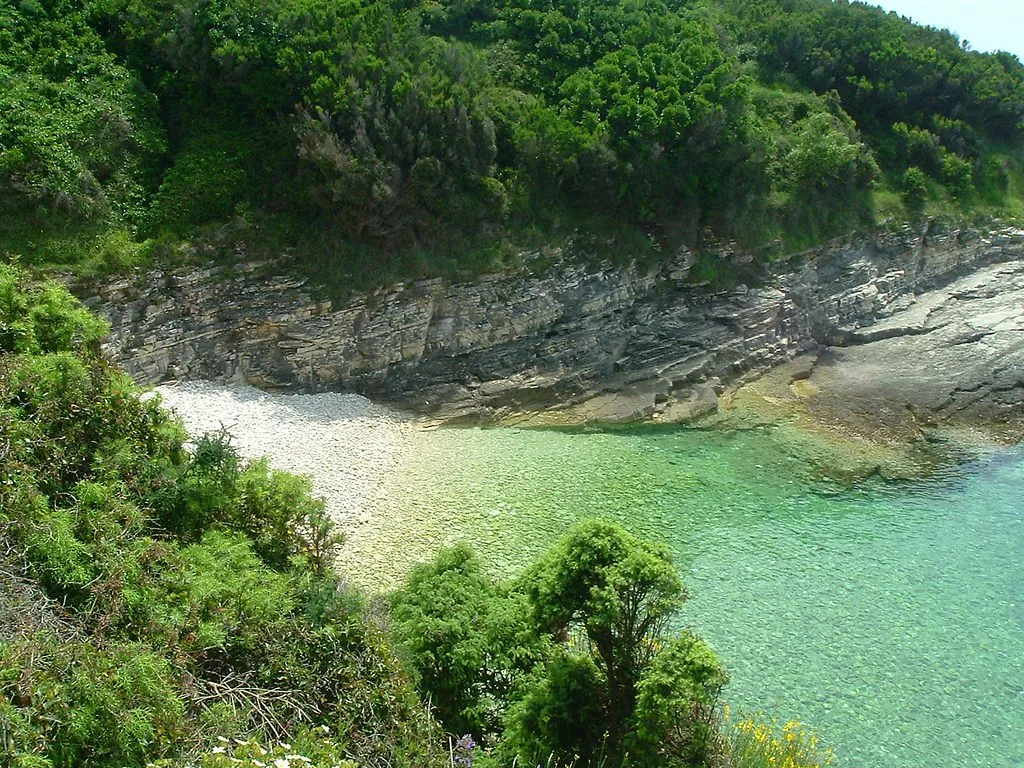
The simplest way to read an Istria map is as four zones. The west coast runs from the Slovenian border south through Poreč and then Rovinj, the south centres on Pula at the base of the peninsula, and the east coast faces the Kvarner Gulf around Rabac. The fourth zone is the inland hill country, which sits away from the sea and rewards a deliberate detour.
Planning by zone rather than by individual sight keeps driving sensible: pair the west-coast towns meant for one day, save Pula for a full day of Roman sights, and give the hills their own afternoon. If you want the detail behind each zone, Istria: A Practical Guide to the Coast, the Hill Towns and Getting Around covers the coast in sequence.
The west coast in order: Poreč, Rovinj and north
Starting in the north and working south, the west coast gives you Poreč, with its UNESCO-listed Byzantine mosaics, and then Rovinj, whose narrow Venetian streets spill down to the water. Rovinj is the more atmospheric of the two for an evening wander, while Poreč's mosaic is the fixed sight that anchors the day.
Above Rovinj the coast runs towards the Slovenian border, with the inland ridge of Učka rising behind it. Base yourself once on this stretch and you can reach the hill villages without crossing the peninsula twice. Poreč and Rovinj are also the most obvious places to stay if you want the sea on your doorstep.
Pula and the south: Roman sights at the base
Pula sits at the southern tip and is the peninsula's Roman anchor: the amphitheatre is the showstopper, and the Arch of the Sergii and the Temple of Augustus stand in the older core nearby. Give Pula a full day if Roman and Venetian history is why you came, and use it as your southern pivot before heading inland or east.
South of Pula the land narrows towards Cape Kamenjak, where the coast turns rocky and the water clear. A map makes this look like a short hop, but the roads are slower than the main coastal route, so treat the far south as a half-day rather than an add-on to a Pula morning.
Inland Istria: the hill towns uphill
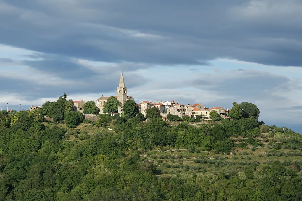
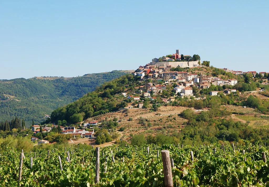
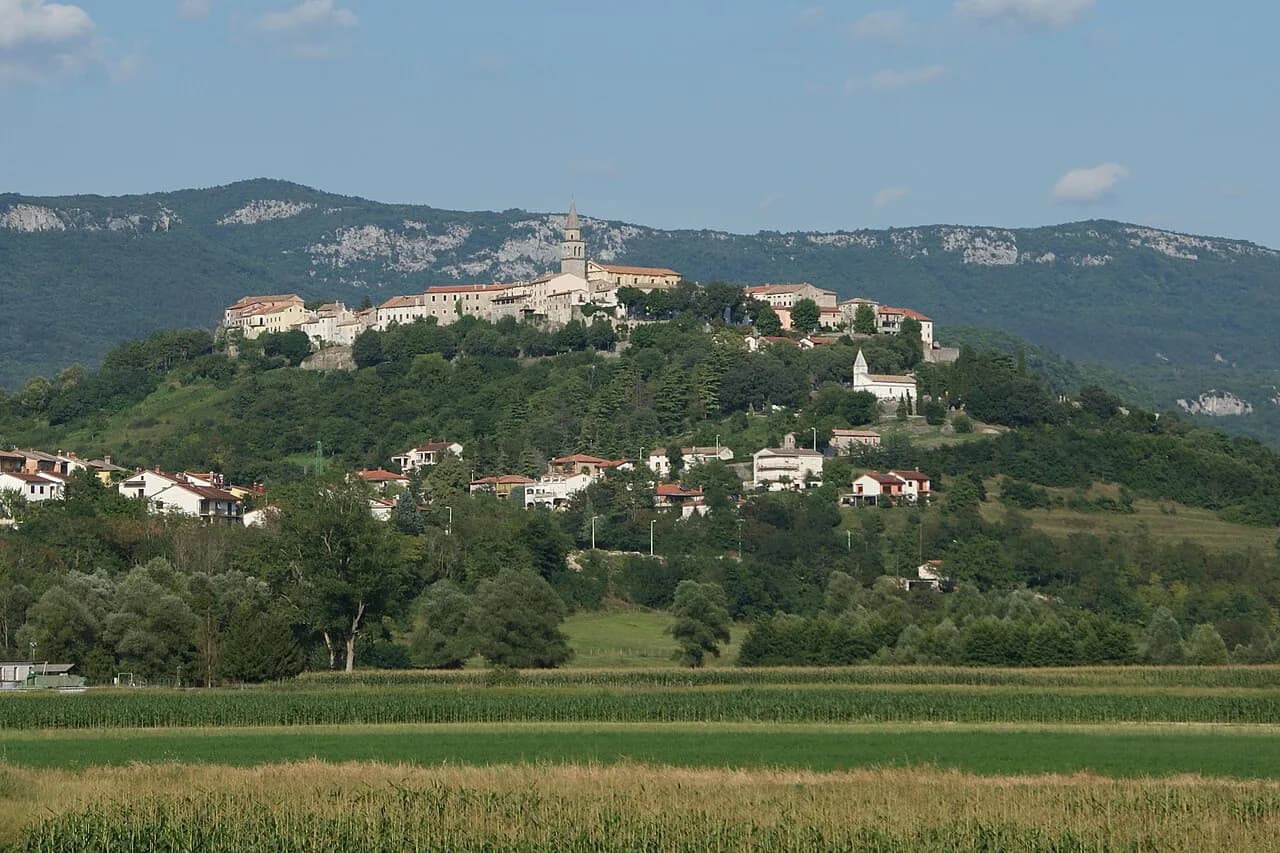
Inland, the towns sit on hilltops for a reason: they were built for defence and look down over vineyards and the Mirna valley. Motovun is the best known, a walled Venetian town with long views across the rolling interior, and Grožnjan nearby is the quieter artistic counterpart. Hum, inland from Buzet, is a small hilltop village often described as the world's smallest town and takes an hour or two.
These villages are uphill and away from the coast, which is exactly why they feel different, and why a map should show them as a separate loop rather than as stops on the coastal road. Drive the inland valleys with two or three villages in mind and leave the rest for another day.
Buzet is the gateway to this northern inland stretch and sits within reach of the Mirna river valley. If you plan a hill-town day, our guide to Istria's Hill Towns sets the villages out route by route, including where to start from.
Brijuni and Fažana: the islands offshore
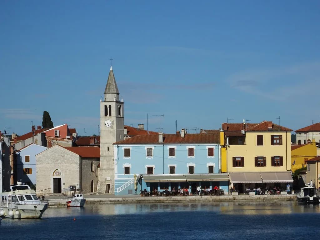
Off the west coast, Brijuni National Park is a group of islets visited by boat from the mainland, with trips setting out from Fažana, the fishing village opposite. On the map this looks like a short crossing, and Fažana is the obvious place to park and pick up the boat. Confirm the boat and island arrangements with the park authority before you travel, and plan the day around the crossing.
Fažana itself is small enough to walk in half an hour, which makes it a sensible half-day base if you are waiting for a crossing.
Distances and driving on the peninsula
Istria is compact, and short breaks work well because coast and hill towns sit close enough to group into a day or two of driving. The trade-off is that the inland roads are slower and bendier than the coastal route, and parking in the hill towns is limited in high season.
Plan a loop rather than a there-and-back: coast one way, hills the other, so you are not retracing the same road. Check current tolls and road rules with the Croatian motoring authority before you set off, since these are not things a map can tell you.
Crossing into Slovenia on the same map
Because the border runs close to Istria's north-west coast, Slovenia's Koper and Piran are plausible add-ons, along with inland sites such as Postojna Cave and the Lipica stud farm. Build them into a north-coast day rather than a separate expedition.
Border crossings between Croatia and Slovenia are short on paper but can queue in summer, so allow slack if you are crossing late in the day. Carry your documents and check current entry rules for both countries before travelling.
When to go, using the map
The shoulder months of June and September give you warm weather and thinner crowds, while July and August are the peak and feel busiest on the coast.
On a map, the effect is most obvious at the coast and the hill towns: the same short drive takes longer when everyone else is doing it. Use the quieter months to add the inland villages to a coastal base without losing a day to traffic.
What a map will not tell you
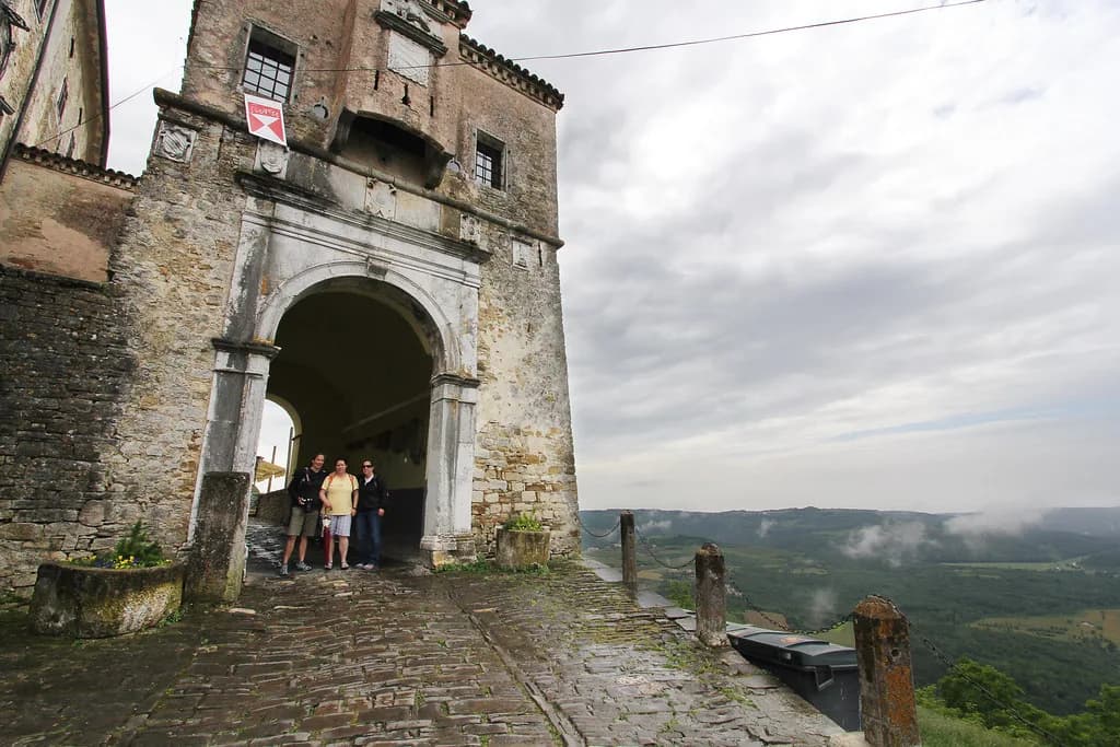
A map cannot show you parking pressure in Motovun or Grožnjan, summer coach traffic, or the bura, the cold north-easterly wind that can change the feel of the coast. Build slack into any day that includes a hill town, and expect to park outside the walls.
It also cannot confirm which ferries, boats and sights are running for your dates. Check with the ferry companies operating from Brijuni and the Brijuni National Park authority directly, and have your paperwork in order before departure.
Which cluster should you base your trip around?
For a short break, base yourself on the west coast around Rovinj or Poreč and reach the hills and Brijuni from there. For a longer trip, add a Pula day in the south and a northern inland loop through Motovun, Grožnjan and Buzet.
Treat the map as a planning tool, not a schedule: pin your bases, group the zones, and confirm the practical details with the ferry companies, park authorities and tourism offices before you go.
Explore more Istria guides
- Bale, Croatia
- Buzet: A Guide to Istria's Hilltop Truffle Town
- Grožnjan
- Hum, Croatia
- Labin: A Guide to the Hilltop Old Town Above Rabac
- Lim Fjord (Limski kanal)
- Motovun: a guide to the walled hilltop town in Istria
- Oprtalj: Istria's Hill Village of Frescoed Churches and Mirna Valley Views
- The Istria Coast
- Vodnjan: Istria's Old Town, St Blaise Church and How Long You Need
- Vrsar, Croatia
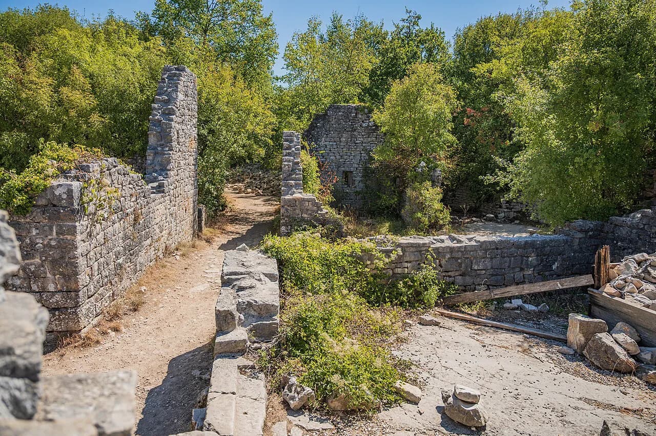
- Dvigrad: the abandoned medieval town in the Draga valley
- Pazin Castle
- Roč, Croatia
- Savudrija Lighthouse
- Svetvinčenat
Frequently Asked Questions
Which country is Istria in?
Most of Istria is in Croatia, with a narrow strip of the peninsula in Slovenia. The peninsula sits at the northern end of the Adriatic, close to Italy.
Where is Istria in Croatia?
Istria is the large peninsula in the far north-west of Croatia, where the Croatian and Slovenian coasts meet. It points south into the Adriatic, with Pula at its southern tip.
Which towns are inland in Istria?
Motovun, Grožnjan, Hum and Buzet are the inland hill towns. They sit uphill away from the coast, which is why they are best planned as a separate loop.
Sources
Notes from the Croatian coast
Optional updates when our guides change.
You might also like
Continue reading
More guides you'll find useful