Pula Map: Old Town, Harbour and Main Sights Laid Out
A short visitor's guide to getting your bearings in Pula, Croatia, with the Roman core, the old town, the harbour and the main sights framed as areas to walk.
On this page
Pula sits in western Croatia, in Istria County, and it is the largest city in the county. The centre is compact enough that much of it can be crossed on foot, which is why a simple map arrangement by area works well for a first visit. This guide frames the city by area so you can see how the Roman core, the harbour and the surrounding streets relate without doubling back.
The layout is the key to using Pula well: understand how the old town sits in relation to the harbour and the wider city, and the planning gets easier. Start with the historic core, then work outwards to the water. See our wider guide to Things to Do in Pula if you want the full list of sights.
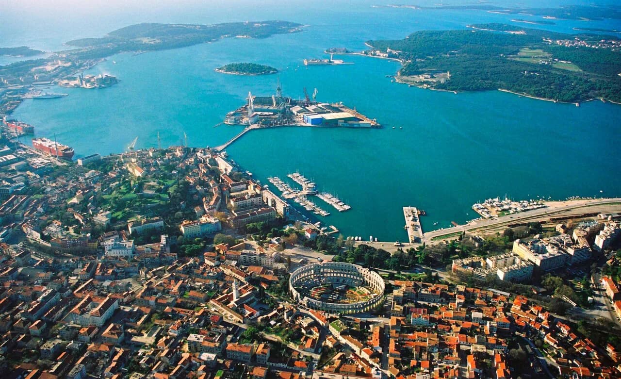
Where Pula sits and how the town is laid out
Pula is the largest city in Istria County in western Croatia, and the seventh-largest city in the country. It sits on the coast of the Istrian peninsula, so wherever you are in the centre the sea is part of the setting rather than a separate excursion.
As a way to read the map, it helps to think of Pula in bands: the historic core with its Roman remains, the surrounding streets of the later city, and the waterfront, so the map reads as a sequence rather than a scatter of pins.
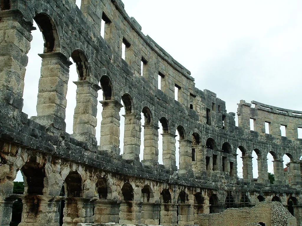
The old town core
The old town is small enough to cross on foot, with streets that bend and narrow but still lead you inward towards the central squares rather than spiralling into dead ends. The practical trick is to pick the square you want and follow the streets towards it; you will rarely get truly lost. For the streets themselves, see our Pula Old Town guide.
The centre is small, so treat the half-day or the single hour as your own choice rather than a fixed schedule: the streets are cobbled and uneven, and footwear matters more than the distances suggest.
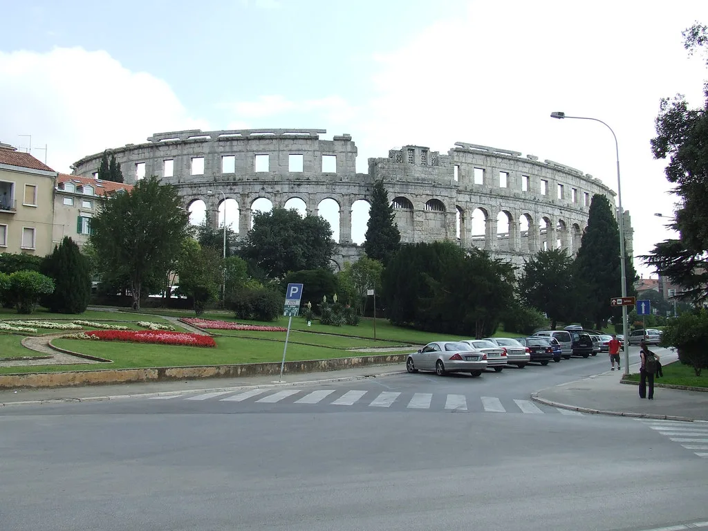
The Roman sights in the centre
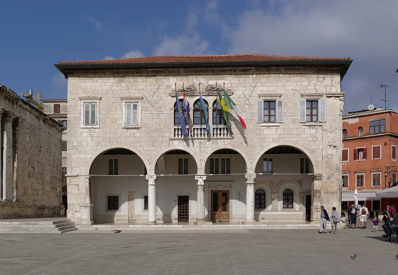
The central squares and the Roman remains around them form the most concentrated cluster of sights in the old town, and they make a natural first loop. Pula has plenty of other things to do beyond the centre, but the monuments here sit close enough together to see several in one walk.
A guided walk is the quickest way to understand how the square, the temple and the gate relate to the Roman street plan, and it saves you reading plaques in the heat. If you prefer to go independently, walk the loop in the cooler part of the morning. See our Roman Pula guide for the monuments themselves.
Other parts of the centre
The compact centre holds much of the city's sightseeing within a short walk rather than out in the suburbs. Give the central landmarks their own time rather than rushing between them.
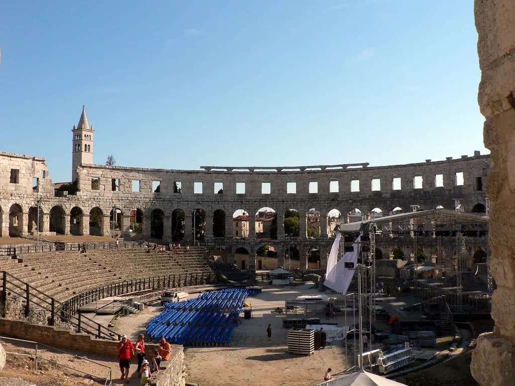
Keep the Arena for a separate visit rather than squeezing it between Forum stops so you can give it unhurried time.
The wider city
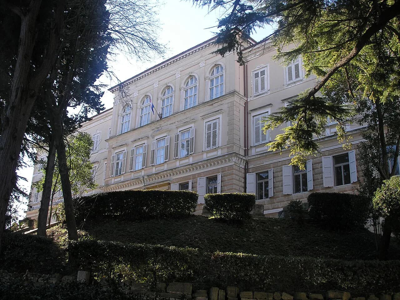
Beyond the tight core, Pula opens into broader streets and larger public buildings. This is a different city from the medieval lanes: wider pavements, larger facades and the feel of a port quarter that grew outwards from the historic centre. It is worth walking through to see how the centre gives way to the wider city.
Museums and civic buildings reward a targeted approach rather than a single street, so pick one or two targets and let the walk between them do the rest. If you only have a day, this layer is the one to trim. Our Museums in Pula guide covers the main collections.
The harbour and waterfront
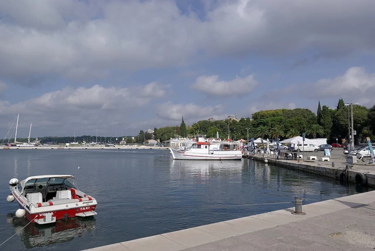
The harbour and waterfront are the natural boundary of a walk through the centre, so the water is not a separate excursion but a natural stopping point. Use it as your navigational reference: if you can see the water, you know which way the centre runs.
A boat trip is the one thing on this map that changes what you see rather than how you walk, since the city reads very differently from the water. See our Pula boat tours guide for departures and timings.
Arriving and finding the centre
Whichever way you arrive, head for the centre and use the main square as your landmark. The city's centre sits at roughly 44.87 degrees north and 13.85 degrees east, which is what you want to check if a mapping app opens somewhere unexpected.
How long the main sights take on foot
A full day on foot can take in the Forum, the Temple of Augustus, the Arch of the Sergii, a circuit of the Arena and a wander through the surrounding streets; two days adds a museum and a boat trip without rushing. Treat these as our suggested amounts of time rather than fixed estimates, since the stops, not the walking, set the pace. If you want the route step by step, see our Pula walking tour.
Build the route in a loop rather than an out-and-back: work through the historic core, take in the main monuments, then drop down to the harbour. That line covers the city's layers in a logical order and leaves you at the water for a late lunch.
Digital map or printed map
A phone map is the practical choice for street-by-street navigation, though it flattens a town's slopes. The Tourist Office Pula publishes a city map covering the centre and its approaches, which is a sensible starting point for seeing how the areas fit together before you walk.
Collect a paper map where you can for orientation, then fall back on your phone for details once you are moving. The two together are usually more useful than either alone.
The coast beyond the centre
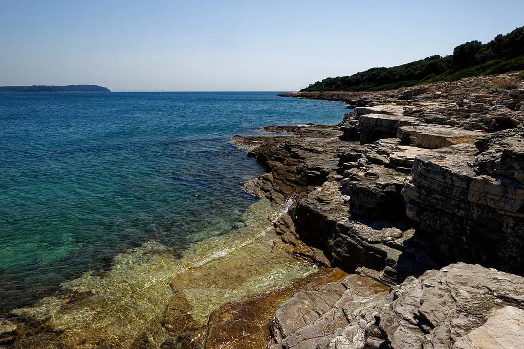
Pula's shoreline extends well beyond the harbour, so anything outside the immediate waterfront is a longer walk along the coast or a separate outing by transport. Treat the city centre and its immediate edges as one compact unit on the map, and the wider coast as a separate trip.
Which part of Pula should you map first?
Start with the historic core, where the main monuments sit close together and give you the shape of the city in an hour or two. Then walk down to the harbour to see how the port connects to the town. That sequence uses the map the way the city is actually built.
If you are staying longer, hold back one day for a boat trip and one for the museums. The centre is compact enough that a good map and a pair of comfortable shoes will do the rest.
Explore more Pula guides
Frequently Asked Questions
Which part of Croatia is Pula in?
Pula is in Istria County, in western Croatia, on the coast of the Istrian peninsula. It is the largest city in the county and the seventh-largest in the country.
Is Pula a nice part of Croatia?
Pula combines a compact centre with a working harbour, all within easy walking distance. If you like a lived-in port rather than a resort, the city suits; if you want a beach base, plan the coast as a separate outing.
Where should I start in Pula?
Start in the historic core and work outwards to the harbour. The close-together sights give you the shape of the city quickly; then walk down to the water to see how the port connects to the town.
Sources
Notes from the Croatian coast
Optional updates when our guides change.
You might also like
Continue reading
More guides you'll find useful