Croatia Map Guide: Regions, Towns, Islands and Ferries
A Croatia map explained for trip planning: the Istria, Kvarner and Dalmatia regions, coastal towns, island groups, ferry ports and airports along the coast.
On this page
A Croatia map explains the country in one glance: a thin crescent of coast running from Istria in the north-west to Dubrovnik in the south-east, backed by the Dinaric Alps and with Zagreb sitting far inland. Almost everything a coastal trip needs — towns, islands, ferry ports and airports — lies on or just off that crescent. This guide breaks the map into regions, then lines up the towns and islands so you can see which places fit one trip.
The map page at visit-croatia.info gives useful scale figures: nearly 6,000 km of coastline, around 1,000 islands, 20 regions plus the city of Zagreb, 127 cities and 424 municipalities. It also places Mount Dinara at 1,831 m as the country's highest peak and records EU membership since 1 July 2013. Those numbers make clear that Croatia is small in area but long in coast, which is why geography drives every itinerary decision.
What a Croatia map shows at a glance
Three bands dominate the map. The coastal strip holds the old towns and the ferry terminals; the Dinaric Alps run parallel behind it, separating the coast from the interior; and the inland north-east around Zagreb is the political and economic core. Zagreb sits well inland, so treat it as a separate stop rather than a coastal base.
The border shape matters too. Croatia's southern tip around Dubrovnik sits apart from the rest of the Croatian coast, with Bosnia and Herzegovina and Montenegro close by to the south and south-east. On a map that geography explains why southern Dalmatia reads as its own trip rather than a continuation of the central coast.
Croatia's regions on the map: Istria, Kvarner and Dalmatia
From north to south, the coastal regions read as Istria, Kvarner and Dalmatia. Istria is the peninsula in the north-west, Kvarner the gulf and island group around Rijeka, and Dalmatia the long stretch from Zadar down to Dubrovnik. Grouping your map this way keeps distances manageable: pick one or two regions rather than trying to cover the whole coast.
The inland side is different again. Zagreb and the surrounding north-east are urban and continental, while the mountain hinterland behind Dalmatia holds parks such as Paklenica. If your map shows the Velebit range behind the coast, that is the barrier that keeps coastal weather distinct from the interior. For a wider sense of what to prioritise, our guide to the Best Places to Visit in Croatia groups the headline sights by region.
The coastal towns from north to south
On a map of the coast, the main towns line up in a clear order. Istria has Poreč, Rovinj and Pula, with Rijeka on the Kvarner gulf. Dalmatia then runs through Zadar, Šibenik, Split and Dubrovnik, each with an old centre and a ferry or catamaran port. Trogir and Primošten fill the gaps between them on the central stretch.
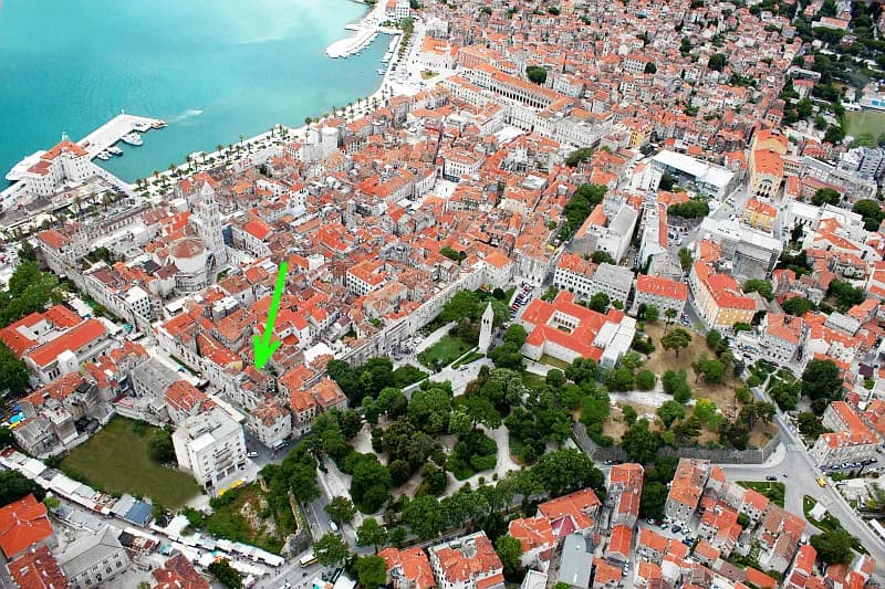
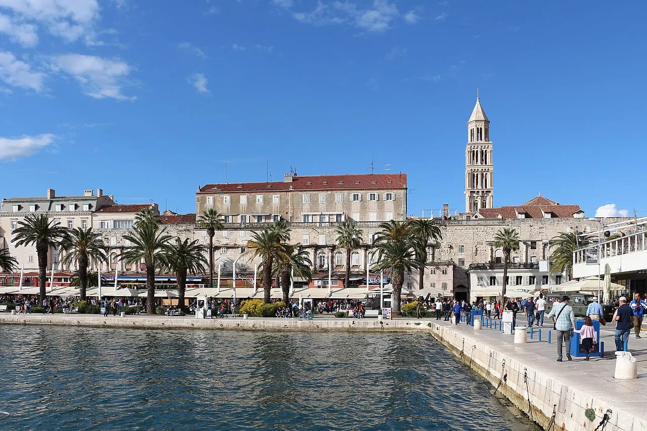
For an idea of which of these repay more than a passing stop, see our picks for the best towns in Croatia; the map shows they are spread over several hundred kilometres, so three towns in a week is realistic. Split is the transport hub of the central coast, and Diocletian's Palace sits right beside its harbour, which makes it a natural base.
The islands: which groups sit off which stretch of coast
The islands fall into clusters, and the map makes this clearer than any list. Off Istria and Kvarner lie Cres, Lošinj and Krk, reached from mainland ports such as Rijeka and the Istrian coast. Central Dalmatia has Brač, Hvar, Šolta and Vis, while the south has Korčula and Mljet, with the Pelješac peninsula reaching down towards them.
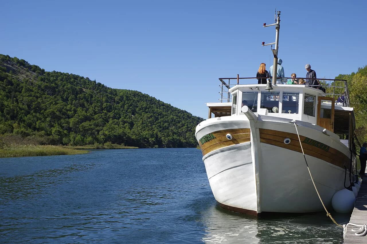
This grouping decides your ferry logic: you cross from the nearest mainland port rather than from wherever you happen to be staying. The Croatian coast page sets out the mainland towns in more detail, which helps you link an island to the right port. For a slower, water-based look at the same map, our Croatia boat tours guide shows how day trips use these crossings.
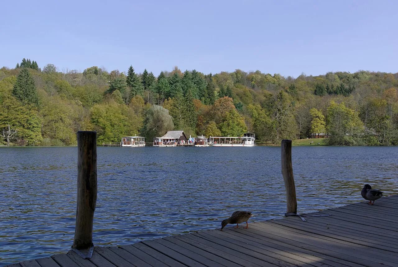
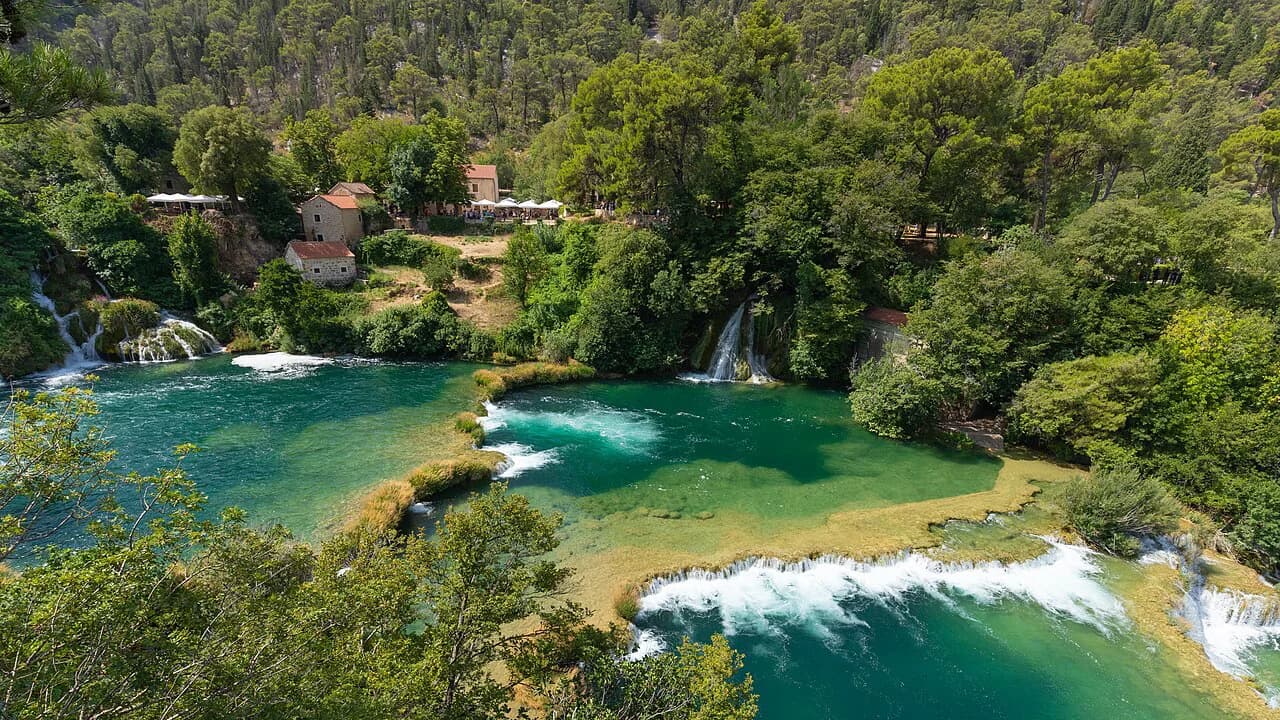
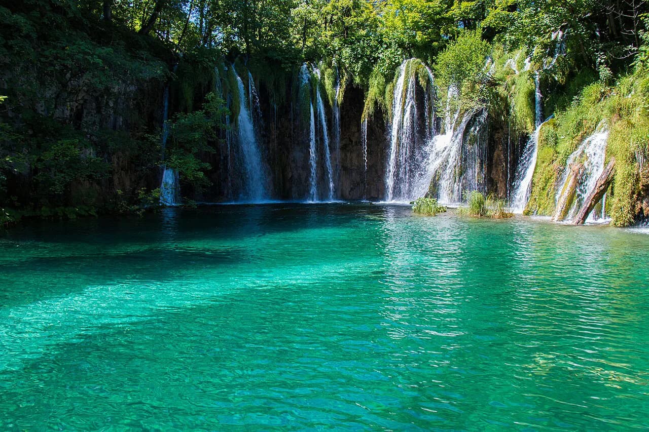
National parks appear as inland or island pockets on a good map: Plitvice Lakes National Park sits in the interior between Zagreb and Zadar, Krka National Park sits just behind Šibenik, and Kornati is an offshore archipelago near Murter. Plitvice in particular breaks a coastal route, so it works best as a deliberate inland detour rather than a stop on the way down the coast.
Getting around by map: motorways, coastal roads and ferry links
Croatia's inland motorway route is the faster option between the north and Dalmatia, while the coastal road is slower but stops at every town, so the trade-off is time against scenery. Driving south to Dubrovnik can mean crossing international borders where the coast dips through neighbouring territory, so carry your documents and allow for checks. Confirm the current road and border arrangements for your dates before you set off.
Ferries and catamarans are run by operators including Jadrolinija, Krilo and TP Line, and the map tells you which mainland ports connect to which islands. Split and Zadar are key hubs, and international routes link the Croatian coast to Italian ports across the Adriatic. Timetables and ticket prices change by season, so check Jadrolinija, Krilo or TP Line's own site for the dates you want.
Airports on the map: which part of the coast each serves
Airports spread along the crescent, each serving a stretch of coast: Pula in Istria, Rijeka for Kvarner, and Zadar, Split and Dubrovnik for Dalmatia. Zagreb handles the inland side and connects to the coast by motorway. Match your arrival airport to your first base rather than to the cheapest fare, or you will spend a day crossing the country.
Seasonality matters: flight schedules are thinner outside summer at the smaller airports, while Split and Dubrovnik stay busy for longer. If your map shows a long transfer from one end to the other, consider an open-jaw ticket, flying into Split and out of Dubrovnik, to avoid retracing the coast. For planning around the coast generally, see our Croatia travel guide.
Paper versus digital maps: what to take
A digital map is best for driving and ferry ports, but a paper map still wins in old towns where streets are narrow and signals drop. Pick up a road map that covers the whole coast at a usable scale, and rely on offline downloads for the islands. The Atlas of Croatia on Wikimedia Commons offers a free reference for the country's regions and borders before you go.
For old-town walking, treat the map as a rough guide: Split, Zadar and Dubrovnik have compact cores where you navigate by landmarks rather than street names. The Sea Organ in Zadar and the Riva in Split are easy orientation points on any map. If you plan water time, our Croatia kayaking guide shows how the coast reads from sea level.
Neighbouring countries on the map: Slovenia, Bosnia and Herzegovina and Montenegro
Croatia's neighbours frame the coast: Slovenia to the north-west, Bosnia and Herzegovina behind the central coast and at Neum, and Montenegro beyond the far south. Each creates a border crossing on a driving route, so allow time at peak periods. The map also shows how short the hop is from Dubrovnik to Montenegro and from Istria into Slovenia.
These borders make multi-country trips tempting, but they complicate car hire: many companies restrict crossing into neighbouring non-EU countries, so confirm the rules with your rental company before booking. Our UNESCO Sites in Croatia guide gives another way to plan the map, grouping the World Heritage towns and monuments by region.
Which part of the map should you pick first?
Start with one region and one arrival airport. Istria and Kvarner suit a shorter trip from Pula or Rijeka, central Dalmatia around Split gives you Brač, Hvar and Vis, and the far south from Dubrovnik works best as its own itinerary. Draw the ferry crossings on your map before booking, because island links define the route more than road distances do.
If you want the shortlist of headline sights before you commit, our guide to Things to Do in Croatia covers the main stops from Istria to Dubrovnik. Then check the operator sites for ferry times and park authorities for ticket prices for your dates, as these change with the season.
Explore more Croatia guides
Sources
Notes from the Croatian coast
Optional updates when our guides change.
You might also like
Continue reading
More guides you'll find useful