Dalmatian Hinterland: Inland Dalmatia Beyond the Coast
The Dalmatian hinterland, or Zagora, is the karst country inland from Split and Šibenik, with fortress ruins, a Roman plateau, watermills and the Imotski lakes.
On this page
The Dalmatian hinterland is the rural karst interior behind the coast, known as the Zagora or Dalmatinska zagora, and it rewards travellers who give it a full day with ruins such as Ostrovica Fortress and the archaeological plateau of Bribirska Glavica. In practice it works as a loop of short drives between Split, Sinj, Trilj, Šibenik and Imotski rather than as a single destination. This guide sets out what the Zagora is, how to reach the sites, how long each one takes and where the trade-offs lie.
The landscape changes fast once you leave the coast road: drystone walls built without mortar, olive groves and fig trees replace apartments and marinas, and villages such as Velika Čista sit quietly along the lanes. Buses are not a realistic way to link these places, and distances are short only if you have your own car. Plan the hinterland as a day or two added to a coastal stay, not as a separate holiday.
What the Dalmatian hinterland is and where it begins
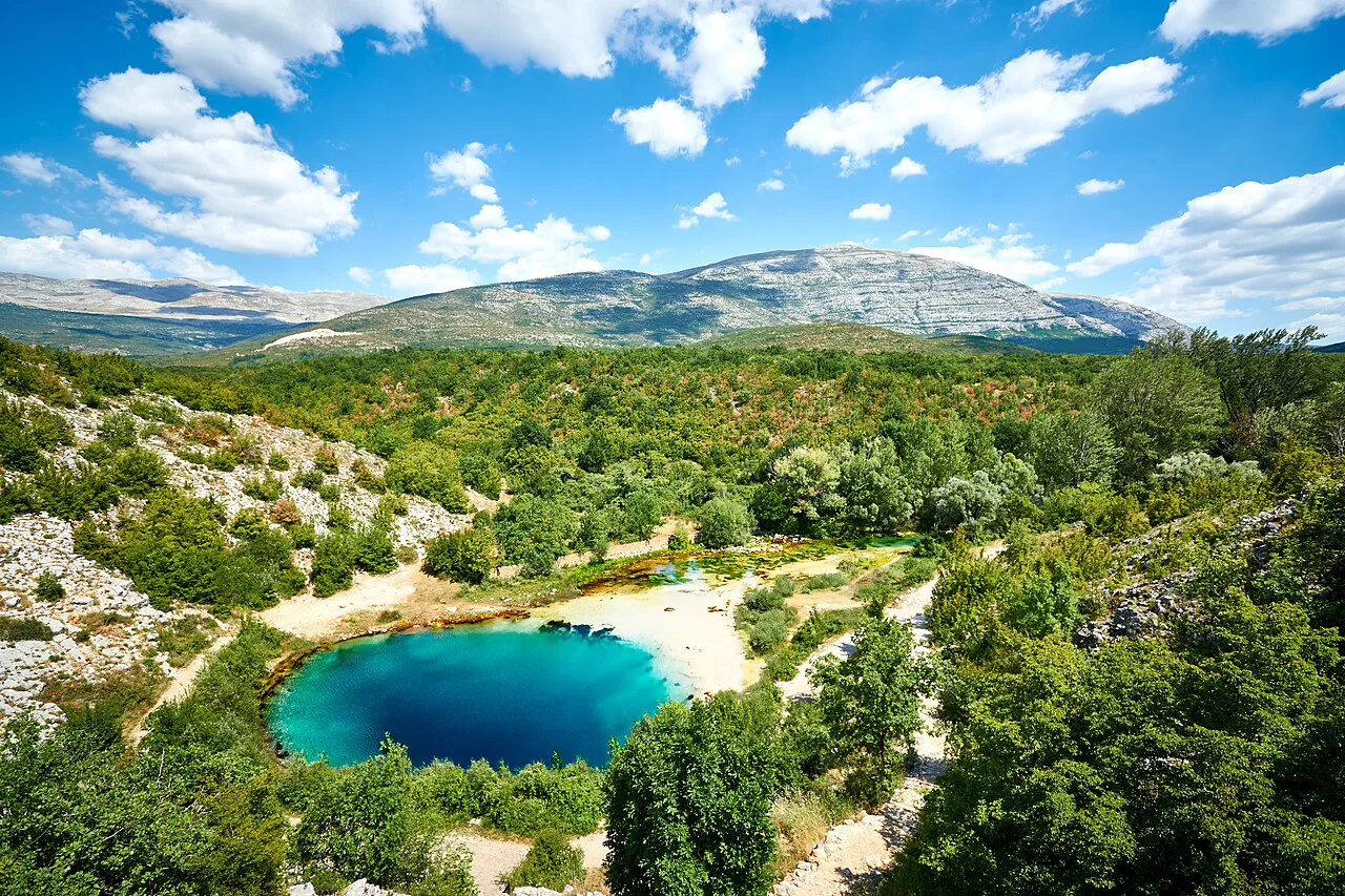
The Zagora is the geographical entity behind Split, extending along the route Dugopolje–Trilj–Sinj–Vrlika, with its own network of marked cycle paths. The same karst country continues towards Šibenik and Vodice, where lanes lined with drystone walls lead inland to olive groves within ten minutes of the beach umbrellas. Treat the hinterland as a band of country running parallel to the Dalmatian coast rather than a defined administrative region.
For orientation, the northern part of this inland country reaches towards Knin and Drniš, and the southern part around Imotski and Vrgorac. Sinj is the cultural and religious centre of the hinterland and holds a larger number of visitors each year thanks to its Marian shrine and its association with the Alka. Everything sits within a short drive of the main coastal towns, but the roads are slow and winding.
How to get there and get around
A car is the practical way to see the Zagora. Distances between sites are short, from roughly 5 km to 11 km around Velika Čista, but buses do not link them, so public transport is not a workable plan for a day of fortress ruins and watermills. Base yourself in Split, Šibenik or Vodice and drive inland; the coast remains within a short hop for the evening.
The main inland roads connect Dugopolje, Trilj, Sinj and Vrlika and form the backbone of the cycling network. If you are driving from the Šibenik side, Velika Čista and Bribirska Glavica sit close together, so you can pair them in a single morning. Roads are surfaced and generally quiet, but allow more time than the map suggests because the lanes are narrow and slow.
Ostrovica Fortress: the crag above the karst
Ostrovica Fortress sits on a dramatic crag rising abruptly from the karst, about 11 km from Velika Čista. In the Middle Ages it was one of the key strongholds of the Croatian nobility, a seat of the powerful Šubić family whose story runs through the region. Reaching it involves a short but rocky hike, so decent shoes are essential rather than optional.
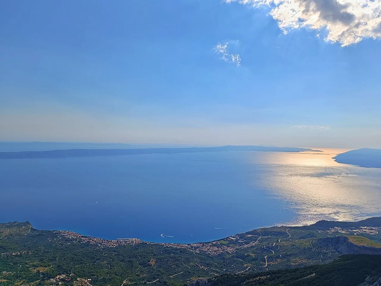
The reward at the top is a sweeping view of the hinterland, from the mountains to the glittering line of the sea. Plan around daylight and avoid the middle of a summer day when the rock holds the heat; mornings and late afternoons are cooler and better for photography. Carry water with you, as there are no facilities at the ruins.
Bribirska Glavica, the 'Croatian Troy'
The flat-topped hill of Bribirska Glavica, also about 11 km from Velika Čista, is one of Croatia's great archaeological sites. The Liburnians fortified it in antiquity, the Romans built the town of Varvaria on its plateau, and medieval Croatia made it a princely seat of the same Šubić dynasty. It is known locally as the 'Croatian Troy' for that layering of civilisations.
Walking here is easy compared with Ostrovica: you move across a plateau among Roman foundations, early churches and mighty ramparts, with views over the Zagora from every edge. Allow an hour or more to wander slowly and look at the masonry. The plateau is exposed, so bring a hat in summer and wear shoes with grip for the loose stone.
The stone watermills near Velika Čista
Scattered along the streams of the hinterland are old stone watermills where villagers once brought grain to be ground. The closest is Kalanjeva Mlinica, about 5 km away; Kulina Mlinica sits around 7 km away and Popova Mlinica about 8 km, with thick walls and worn millstones still standing beside the water. The low morning light is best for photography. These are quiet, half-forgotten places, so approach them as unstaffed heritage rather than visitor attractions.
Near Bribirska Glavica stands the small stone church of Sv. Martin, another simple, ancient chapel that has anchored village life here for centuries. Village konobas nearby serve lamb slow-roasted under the peka, but menus change with the seasons, so ask locally rather than relying on a fixed list. Keep food to a passing mention and plan the day around the ruins and mills instead.
Sinj and Trilj on the Cetina
Sinj is the centre of religious and cultural tourism in the Dalmatian hinterland, known for its Marian shrine and its association with the Alka tournament. The town sits on the Cetina and makes a natural base for the surrounding cycle routes.
Downstream, Trilj is known for the remains of fortifications, and the Nutjak Fortress can be seen on the 14 km path of the same name that passes through Gardun and Vojnić. Nutjak sits about 3 km downstream from Trilj on the right bank of the Cetina, built on a cliff above the river with a view of the canyon. Along the path you pass the church of St Clare and several medieval tombstones in the shape of a cross.
The circular Cetina–Sinj route 454 follows the calm course of the river from Han to the Trilj equestrian club Sv. Mihovil, while route 505 Brodarić reaches the museum of the Trilj region. Route 507 Gaj Liberije leads to a Roman military camp with remains of mosaics and a statue of Gaj Liberije, plus the church of St Peter at the top of the Gardun locality. These are marked paths, so check the local tourist board maps before setting out.
Imotski: the Red and Blue lakes and Topana fortress
Imotski offers a circular route to its lakes and fortresses, taking in the Red and Blue lakes, the Topana fortress in Imotski and the Badnjevica fortress between Proložac and Ričice. The lakes sit in collapsed dolines, and the town's position on the edge of the karst makes it a natural extension of a hinterland day from the coast.
On the way to Imotski you pass Vrgorac, known as the city of strawberries, and the nearby Ethno village of Kokorići offers cycling tours in the Vrgorac fields along Napoleon's Road and the Tobacco Road. Choose your route by difficulty and type of trail rather than trying to cover everything. The tourist boards of these towns publish maps of individual trails, and an app can track your location in real time.
Vrlika and the Cetina springs
From Vrlika there are three distinct destinations: Lake Peruča, Golo Brdo and the spring of the Cetina. Route 571 Springs of Cetina is the most popular cycling route, leading to three springs whose water is known for its clarity and blue-green colour. Route 572 reaches Lake Peruča, the third largest artificial lake in Croatia, and route 573 leads to the viewpoint of Golo Brdo, from which you can see the whole Vrlika field.
Vrlika has its own version of ustipak, and in the town during the summer you can watch a traditional performance of the opera Ero from the other world. Because the schedule is seasonal, check the Vrlika tourist board's listings rather than assuming a date. The Vrlika area suits cyclists who want quieter roads and more climbing than the coastal routes offer.
Vranjaca cave and the Mosor foothills
Route 401 starts from Dugopolje and takes you to the Vranjaca cave, a natural monument at the foot of Mosor that is well worth a visit. Because it is a marked cycle route rather than a formal trail, it suits confident riders who are comfortable combining a climb with a cave visit. Keep an eye on daylight and carry a light source for the cave.
The Mosor massif rises directly behind the coast, so the Dugopolje side is where the hinterland begins for most visitors arriving from Split. You can pair the cave with the Klis Fortress above the coast for a full day mixing karst landscape with a coastal stronghold.
The marked cycle network
The hinterland of Split, Dalmatinska zagora, has 21 marked cycle paths covering roughly 600 km along the Dugopolje–Trilj–Sinj–Vrlika route, built to European standards. All paths are marked with a sign bearing a sculpture drawn by the artist Vasko Lipovac, and they pass roads, historical sites and agro-tourism locations. The network is well maintained and signposted, making it an alternative to driving for riders who want a full day out.
Route 451 is a circular path linking Sinj and Trilj, both on the Cetina. Route 452, the Aequum path, is 25 km long and takes you over bridges on the Cetina and old Turkish roads to old mills with large boulders. Route 453, the Eagle trail, is 35 km long, starting from the bridge on Goručica and leading to greenery near the city. Route 454, the Five Springs trail, reaches the tributaries Rumin, Kosinac, Ovrlje, Ruda and Grab.
Route 502 from Trilj on the Cetina follows a picturesque circular route to the river Grab and the stone water mills at its source. The Samardžica and Cosica mills have exceptional historical and traditional value, and the oldest, Ursica mill, is unique in adjusting to the height of the water level when using the mill wheel. With 21 routes, choose by length and gradient rather than trying to link several in one day.
When to go
Mornings and late afternoons work best in summer, when the heat builds over the karst and the cicadas take over in the evening. The unstaffed fortress and mill sites have no shade or water, so walking them in the middle of the day is punishing rather than pleasant. If you visit outside the summer months, plan around shorter daylight rather than around any published closing times.
The hinterland works on visitors slowly, and the evenings are its best feature: no light pollution, no noise and a sky far fuller than you see at home. That is what people remember longest, not something you can book at a resort. Build in an overnight or a late return to make the most of it.
How long to allow and how to combine it with the coast
A realistic day covers Ostrovica and Bribirska Glavica in one morning, then the watermills or Sv. Martin in the afternoon. Adding Imotski or Vrlika needs a second day, because the roads are slow and the sites are spread across the karst. The hinterland is not a quick detour between two coastal towns; build it into the trip as a destination of its own.
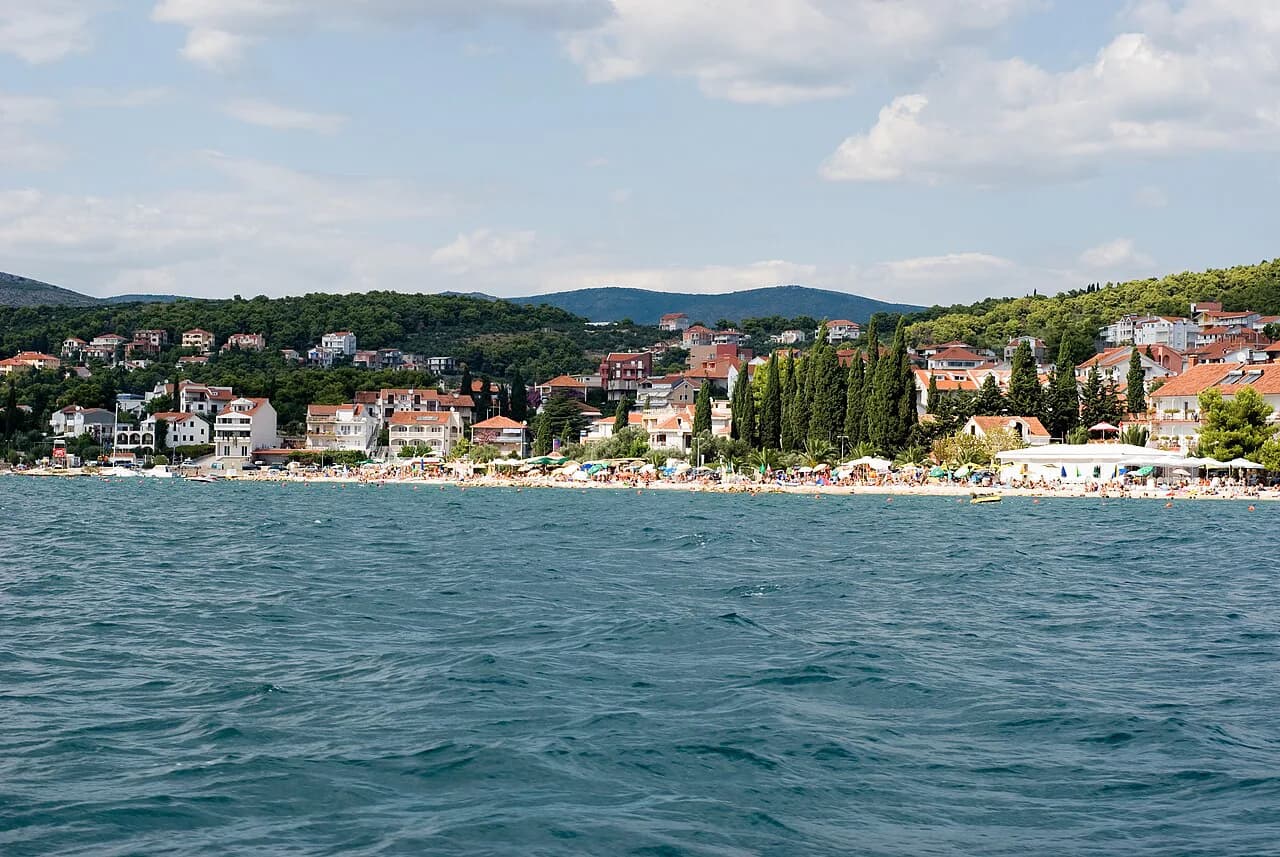
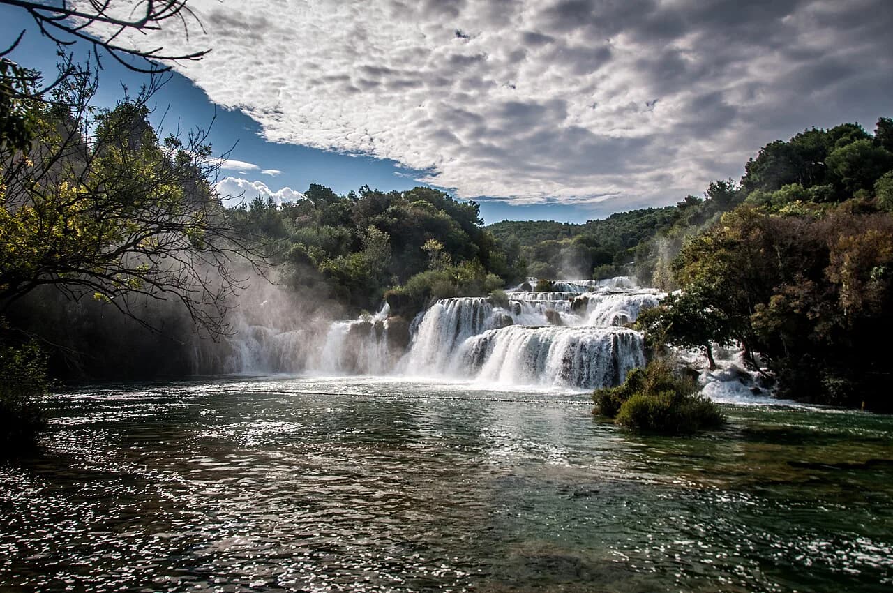
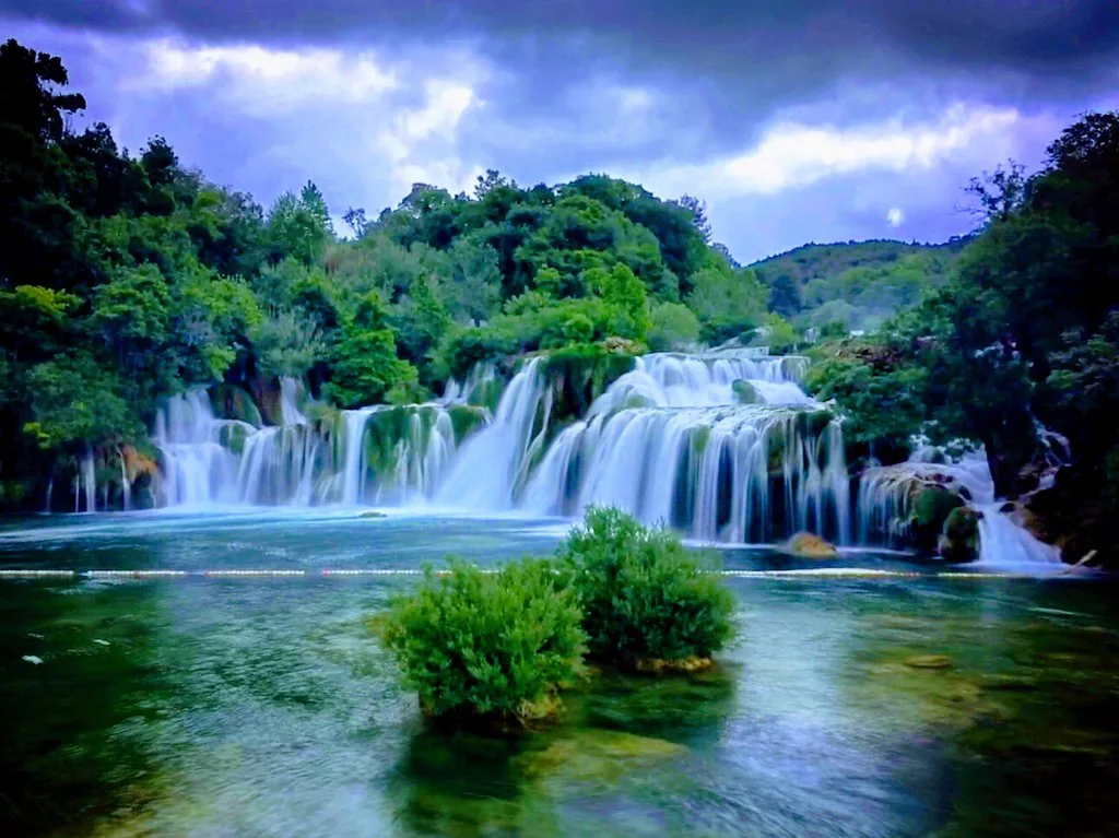
The hinterland road continues straight on to the waterfalls of Krka National Park, and the beaches of Vodice are about 15 minutes away. Boats leave Vodice for the Kornati Islands, and Šibenik makes a natural day trip. Combining coast and Zagora in one stay is the practical pattern, with the coast by day and the hinterland by late afternoon. If you are weighing how to spend the other half of the day, see our Krka National Park guide for tickets, opening hours and what to see.
Honest trade-offs
The main trade-off is access. Buses are sparse and do not link the fortress and mill sites, so without a car you are limited to organised tours or the towns along the main roads. The lanes are narrow and slow. The second trade-off is heat. The karst holds warmth, exposed ruins offer no shade, and the mill sites have no facilities. Carry water and wear shoes with grip for rocky fortress paths and loose stone.
Sites such as Ostrovica, Bribirska Glavica and the three watermills are quiet, half-forgotten places to visit rather than developed attractions, so do not expect ticket booths, posted opening hours or visitor-centre infrastructure. That is exactly the point for many travellers. Plan around daylight and local advice rather than expecting facilities.
Is the hinterland worth a day of your coast trip?
Yes, if you have a car and can spare a full day from Split or Šibenik. Ostrovica and Bribirska Glavica together give you a ridge walk and a Roman plateau, and the watermills near Velika Čista add an unstaffed, atmospheric stop. Base yourself on the coast and drive inland for the morning, then return for the evening.
Skip it if you rely on buses or expect ticketed attractions with facilities. The hinterland rewards slow travel and tolerance for rough ground, so pack shoes with grip, water and a map from the local tourist board. Combined with Krka National Park and Šibenik, it makes an easy contrast day in Dalmatia.
For a wider choice of Roman, Venetian and island sights, use the coast as your base and add the hinterland as a contrast day. The two halves of Dalmatia are close together, and the Zagora is the quiet counterweight to the busy waterfront.
Explore more Dalmatia guides
- Benkovac
- Drniš: A Guide to the Dalmatian Hinterland Town
- Klis Fortress
- Knin: A Guide to the Fortress, Old Town and Krka Source
- Obrovac: A Guide to the Town on the Zrmanja Canyon
- Sinj: The Dalmatian Hinterland Town of the Alka
- Imotski Lakes
- Trilj: A Guide to the Cetina Town and Its River Sights
- Kamerlengo Fortress, Trogir
Frequently Asked Questions
Do I need a car to see the Dalmatian hinterland?
Yes for the fortress and mill sites. Distances are short, often 5 km to 11 km, but buses do not link them, so public transport is not a workable way to see a full day of ruins and watermills.
Are there entry fees or opening hours at Ostrovica and the watermills?
Do not expect ticket booths or posted opening hours at these quiet sites, so plan around daylight and carry your own water. For any organised access, ask the local tourist board.
How far is the hinterland from the coast?
Sites around Velika Čista and Bribirska Glavica are minutes inland from Vodice, while Dugopolje is the gateway from Split. The hinterland road continues to Krka National Park, making a coast-and-Zagora day feasible.
How long should I allow for the hinterland?
Allow one full day for Ostrovica and Bribirska Glavica plus the watermills, and a second day if you add Imotski or Vrlika. The roads are slow and the sites are spread out.
Sources
Notes from the Croatian coast
Optional updates when our guides change.
You might also like
Continue reading
More guides you'll find useful