Sućuraj on Hvar: Ferry, Beaches and What to See Guide
Sućuraj is the small port town at Hvar's eastern tip, closest to the mainland and reached by a short ferry from Drvenik. Here is what to see and how to plan.
On this page
Sućuraj is a compact fishing and port town on the eastern cape of Hvar, and for most travellers it works as a gateway rather than a destination in its own right. Its draw is position: the mainland lies just across the water, so the crossing is short and the village stays quiet compared with Hvar town. This guide covers the ferry approach, the town's two halves, a short walking route through the stone centre and how Sućuraj fits into a longer run along the coast.
Expect to see the main sights in a couple of hours and to spend the rest of your time on the harbour, in the narrow streets or looking across the water at the mountains. Pair it with the island's bigger settlements if you want museums, a cathedral square and evening life.
Where Sućuraj sits on Hvar and why its position matters
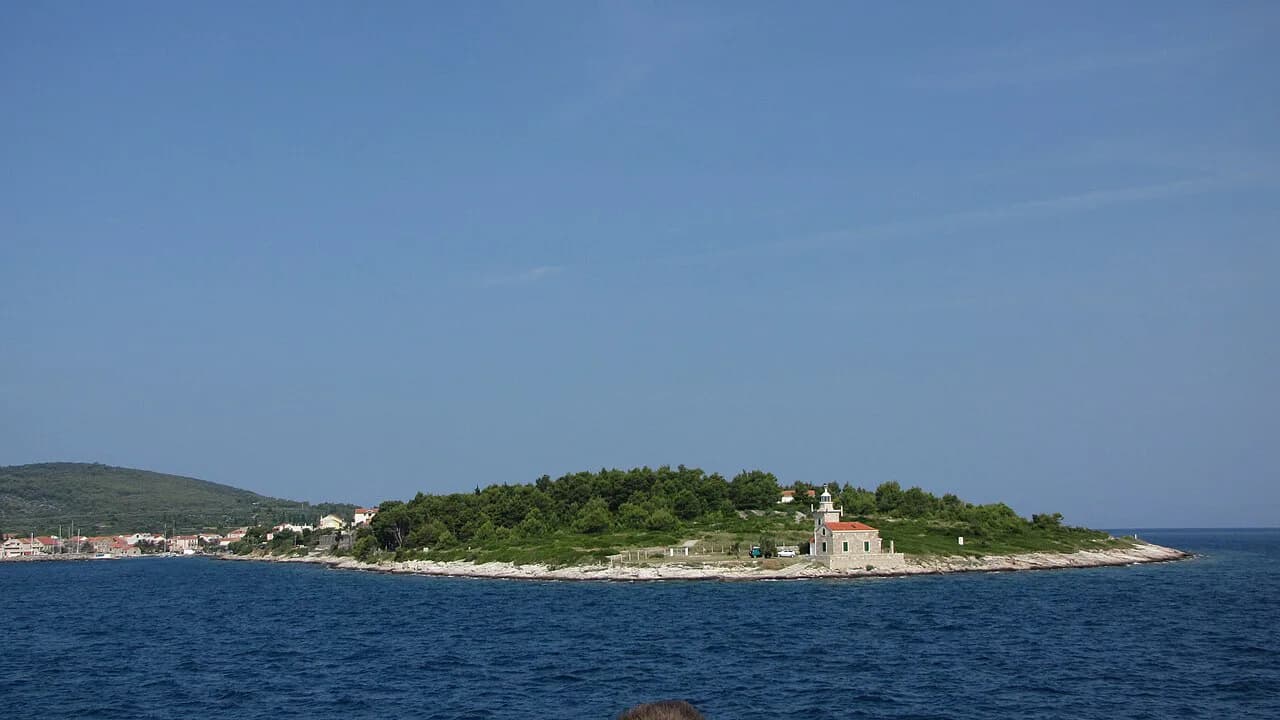
Sućuraj is the most eastern settlement on Hvar and the island's nearest point to the Croatian mainland, sitting on a cape with water on both sides. The town guide describes it as a small tourist and fishermen's port at the eastern cape of the island, roughly five kilometres from the mainland. That geography explains almost everything about the place: it is a working harbour first and a resort second.
Because the cape has coastline on its north and south flanks, the town faces two different seas. On one side lies the Hvar channel, on the other the Neretva channel, and the view reaches the Biokovo mountain, the Pelješac peninsula and the islands of Brač and Korčula. For a traveller, this means a short walk across town can change the outlook entirely.
It also means Sućuraj sits apart from the rest of Hvar. The island's better-known stops, Hvar town, Stari Grad, Jelsa and Vrboska, are all a long drive west, so the village rewards travellers arriving by ferry from the mainland rather than those touring the island from the west end.
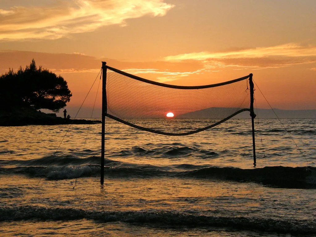
How to reach Sućuraj: the Drvenik ferry and the road west to Hvar town
The classic approach is the car ferry from Drvenik on the mainland, a crossing the town's own guide puts at about 30 minutes. Drvenik sits on the Makarska Riviera stretch of coast, which makes Sućuraj a natural first or last stop on a Dalmatian road trip. The crossing is short, and ferry operators serving the route publish current timetables and fares for the season.
Check the sailing and the fare with Jadrolinija, which runs the Drvenik–Sućuraj crossing, before committing to the trip, because vehicle spaces fill in summer and the schedule changes between seasons. Foot passengers have the easier time of it; drivers should arrive with margin.
Travelling west by road, Sućuraj is about 77 kilometres from Hvar town, a winding island road that takes considerably longer than the distance suggests. If you are heading for Stari Grad, plan the drive as a half-day in itself, with time for the old town and the Tvrdalj once you arrive.
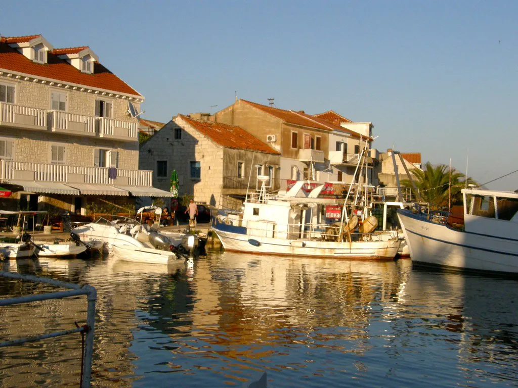
The layout: Gornja Banda, Donja Banda and the harbour bay
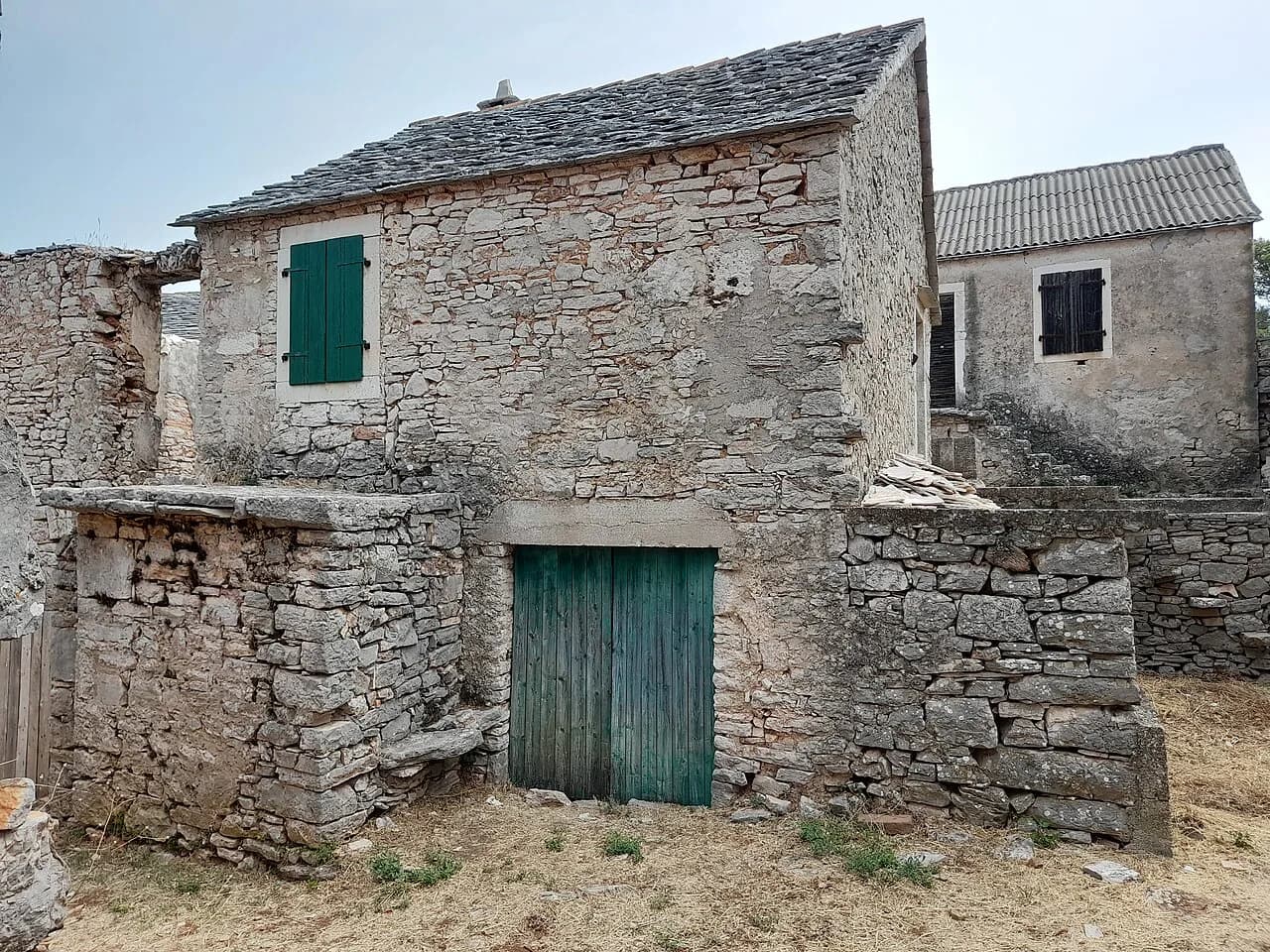
The town grew around a deep, narrow bay that serves as its harbour, and the two historic halves are named Gornja Banda, the upper side, and Donja Banda, the lower side. Gornja Banda climbs gently north of the port, while Donja Banda occupies the south side of the peninsula. Knowing the split makes navigation simple: from the harbour, everything is either up and north or down and south.
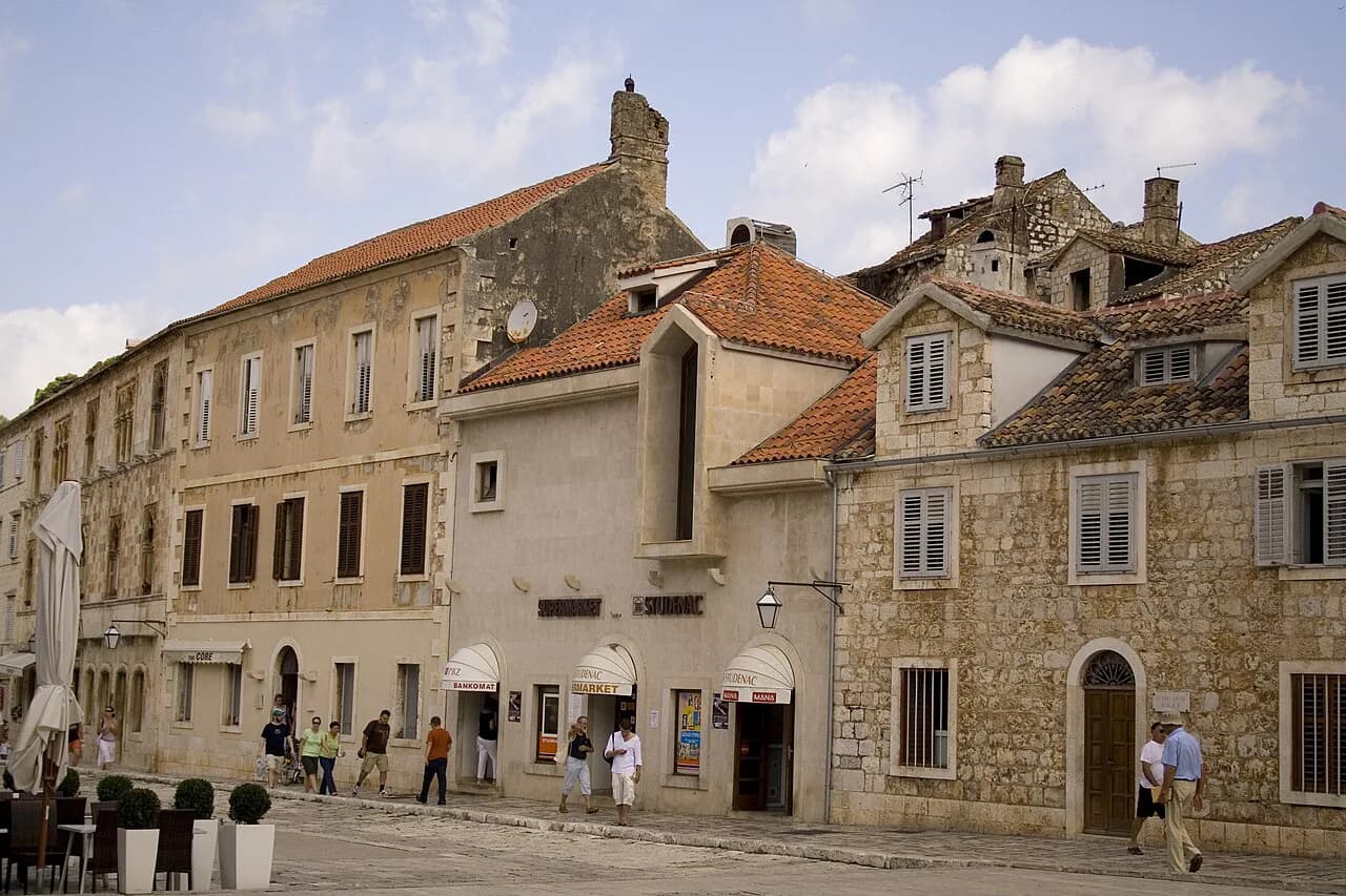
The architecture is standard Dalmatian: stone houses packed along narrow streets, with the water never far away. There are shops, a post office, an ATM and a currency exchange office in town, along with an infirmary and a port authority office. Croatia has used the euro since 2023, so the ATM and exchange office deal in euros rather than kuna.
Travellers who want a resort with a long promenade and a row of cafés should look elsewhere on the island; those who want a small working port with two coasts and a short ferry hop will find the layout generous for its size. The harbour itself is the natural place to start and finish any walk.
A short walking route through the old stone centre
Start at the harbour, cross to Donja Banda on the south side and follow the lanes out towards the coast, then climb back through Gornja Banda on the north side. The loop is short, but the stone streets and the shift from one sea to the other justify taking it slowly. Allow an hour with stops, and rather more if you keep pausing for views.
Add the churches and the fort to the same circuit rather than treating them as separate outings. The Church of St George, St Nicholas and the Fortica are the sights most associated with the town, and all sit within the compact centre or just above it. Check locally for opening times if you want to go inside rather than simply see the exteriors.
Walkers continuing west will find the island changes character quickly. Inland villages and the lavender country around Velo Grablje suit a slower day, while the UNESCO-listed Stari Grad Plain rewards anyone willing to detour into the fields.
Sights: the Church of St George, St Nicholas and Fortica
The three names to know are the Church of St George, St Nicholas and Fortica, the small fortification above the town. They are modest sights individually, and the pleasure comes from the positions rather than from grand interiors. Treat them as viewpoints with history attached and you will not be disappointed.
The town's history is long and eventful, with monuments and documents surviving from several periods, and archaeological finds show occupation of the area since antiquity. That depth sits lightly on a village of a few hundred people, but it explains why the centre feels older than its size suggests.
If you are building an itinerary around Hvar's heritage, Sućuraj is the quiet prologue rather than the main act. The island's headline sights, from the cathedral square at Hvar town to the fortress church at Vrboska, need a separate day further west.
Views across the Hvar and Neretva channels to Biokovo, Pelješac, Brač and Korčula
The town earns its reputation for outlook rather than architecture. From the cape you look across the Hvar and Neretva channels to the Biokovo mountain on the mainland, the Pelješac peninsula and the islands of Brač and Korčula. On a clear day this is the best free sight in the area, and it costs nothing but the walk.
Choose your side of town by the wind for the best experience. When the south wind blows, the north side of the cape is calmer, and when it comes from the north the south side is sheltered, so you can nearly always find a lee. That is a practical rule for swimming, sitting and photography alike.
Picking a spot is straightforward: north-facing ledges for the open channel view, south-facing ones for the Neretva side and the Pelješac silhouette. The coastline around town runs to more than 25 kilometres of sandy, pebbly and rocky shore, so there is room to move.
How long Sućuraj needs and how it fits a coast trip
Give Sućuraj half a day. A two-hour visit covers the harbour, both Banda halves, the churches and the fort with time for a coffee; a full day adds swimming and a slower lunch. Anything longer belongs to travellers using it as a base rather than a stop.
As a gateway it makes excellent sense. Arrive on the morning ferry from Drvenik, walk the town, then drive west towards Stari Grad and Jelsa for the rest of the island. It also works in reverse: a last quiet night before an early crossing back to the mainland.
If your island plan is mostly about boats and swimming, you can treat Sućuraj as one element of a wider Hvar itinerary rather than a standalone destination, with the Pakleni Islands and the western coast taking the larger share of your time.
When to go: swimming from May to October and the wind trade-off between the two coasts
The local guide describes the sea as pleasant for swimming from May through October, and the island's Mediterranean climate as mild, with long dry summers and rare frosts in winter. Treat those as general seasonal patterns rather than a forecast for a particular week.
The wind is the variable that matters day to day. Sućuraj's two-sided coast is its practical advantage, letting you switch sides when conditions change, but the open channels mean the bura and the jugo are felt. Check the forecast before planning a swim or a crossing, since strong wind can disrupt small boats and make exposed water uncomfortable.
Late spring and early autumn give you warm water with far fewer people, while July and August bring the crowds and the fullest ferries. If you want the village to yourself, aim for the shoulder weeks either side of high summer.
What to expect in summer: crowds, cruise-ship days and the quiet pace
Sućuraj is quiet by Hvar standards, and the town guide sells it precisely as an escape from noise and crowds. Cruise traffic concentrates on Hvar town and the Pakleni Islands rather than here, so the harbour keeps a local rhythm even in August.
Summer still brings ferry queues, full car decks and busier restaurants, so book the crossing you want and arrive early with a vehicle. The town has a small population, recorded as 357 in the 2011 census, and its services are sized accordingly.
The wider island debate about whether Hvar is expensive or has lost its party reputation matters less at this end of the island, where the appeal is walking, swimming and the view. For orientation before you drive west, keep the Hvar island map to hand.
Should you take the Drvenik ferry or drive the island?
Take the Drvenik ferry if you are coming from the Makarska coast or heading south along the mainland: the crossing is short and puts you on Hvar without the long drive. Drive the island road west if your priority is Hvar town, Stari Grad or the beaches and villages beyond, and treat Sućuraj as a first stop rather than the main event.
Either way, the town gives you a genuine working harbour, two coasts to choose between and views that justify the detour. Confirm ferry sailings and ticket prices with Jadrolinija for your dates before you finalise the route, and check wind and sea conditions if you plan to swim from the rocks.
Explore more Hvar guides
Frequently Asked Questions
Is Sućuraj worth visiting if you only have a few hours?
Yes, if you are crossing from Drvenik or passing along the island road. The harbour, the Gornja Banda and Donja Banda lanes, the Church of St George, St Nicholas and Fortica fill two hours comfortably, with time left for the channel views.
Do you need a car for Sućuraj?
A car makes the crossing and the onward drive west far easier, since the town sits about 77 kilometres from Hvar town by road. Foot passengers can still walk the centre and reach the coast on foot.
What is the difference between Gornja Banda and Donja Banda?
Gornja Banda is the upper side of town, on the slope north of the harbour, and Donja Banda is the lower side on the south of the peninsula. Walking between them takes minutes and gives you both channel outlooks.
Sources
Notes from the Croatian coast
Optional updates when our guides change.
You might also like
Continue reading
More guides you'll find useful