Hvar Island Map: Towns, Villages and Ferry Ports
A map-led guide to Hvar island: where Hvar Town, Stari Grad, Jelsa and Sućuraj sit, which ports the ferries use, and how the old road links them.
On this page
Hvar is a long, narrow Adriatic island lying off the Dalmatian coast from Split, and the first thing a map makes clear is that it has no single centre. Hvar Town at the western tip handles the day-trippers and the citadel, Stari Grad on the north coast is the old harbour, Jelsa sits between them, and Sućuraj guards the far eastern end. This guide reads the island as a port-and-road decision: which towns you dock at, which ferries carry cars, and how the old interior road links them.
Where Hvar island sits on the map
On a map of Croatia, Hvar runs roughly east to west, parallel with the mainland and with the island of Brač to its north. Split, the main mainland city and transport hub for this stretch of the coast, sits to the north-west across the water. That orientation is what makes the island's two working ferry ports so different: Stari Grad faces Split across the Hvar channel, while Hvar Town faces the Pakleni Islands and the open sea to the south-west.
The island measures roughly 70 kilometres from Sućuraj in the east to Hvar Town in the west, which is why the map matters more here than on a compact island. Villages such as Jelsa, Vrbanj and Sveta Nedjelja sit along the spine or just inland, and the terrain between them is steep limestone rather than gentle farmland. When you plan, treat the map as a choice of bases rather than a single dot. For the full picture of what each town offers, start with Things to Do on Hvar Island: Hvar Town, Stari Grad, Jelsa and the Pakleni Islands before you settle on a port.
How Hvar Town is laid out on the map: from Pjaca to the Fortica
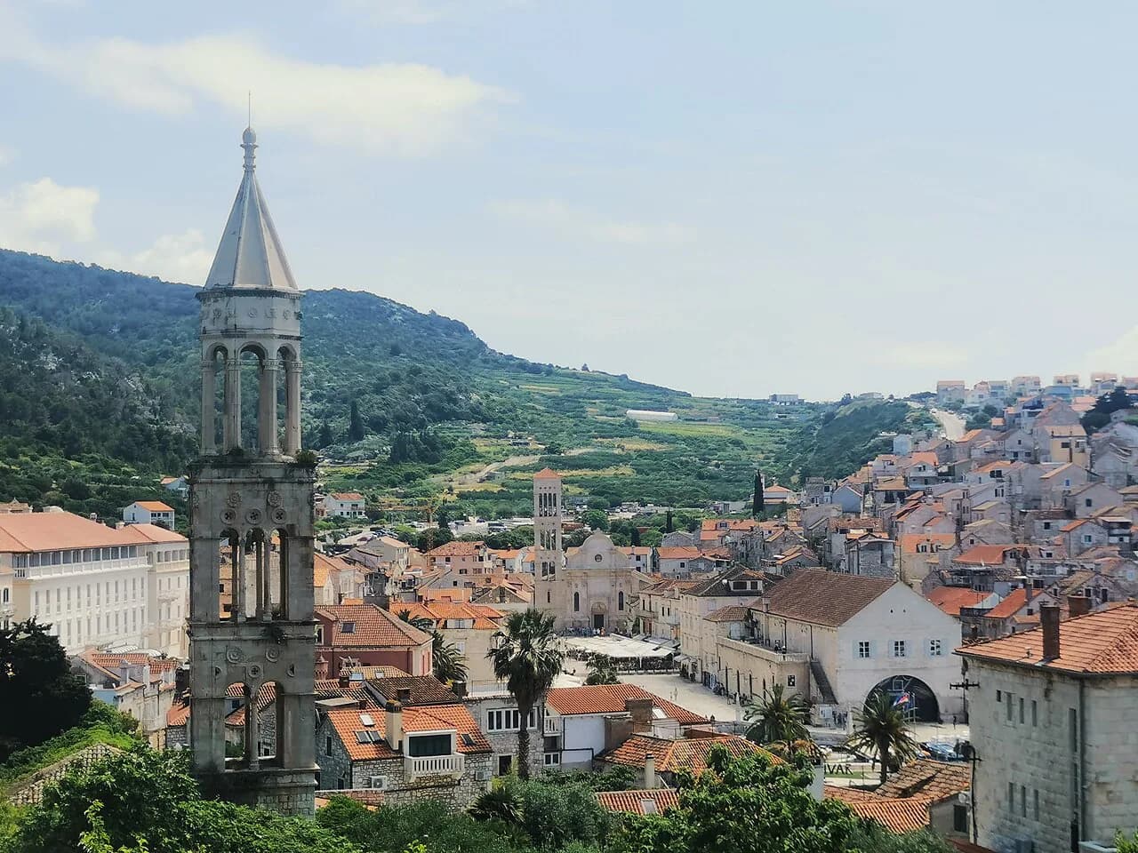
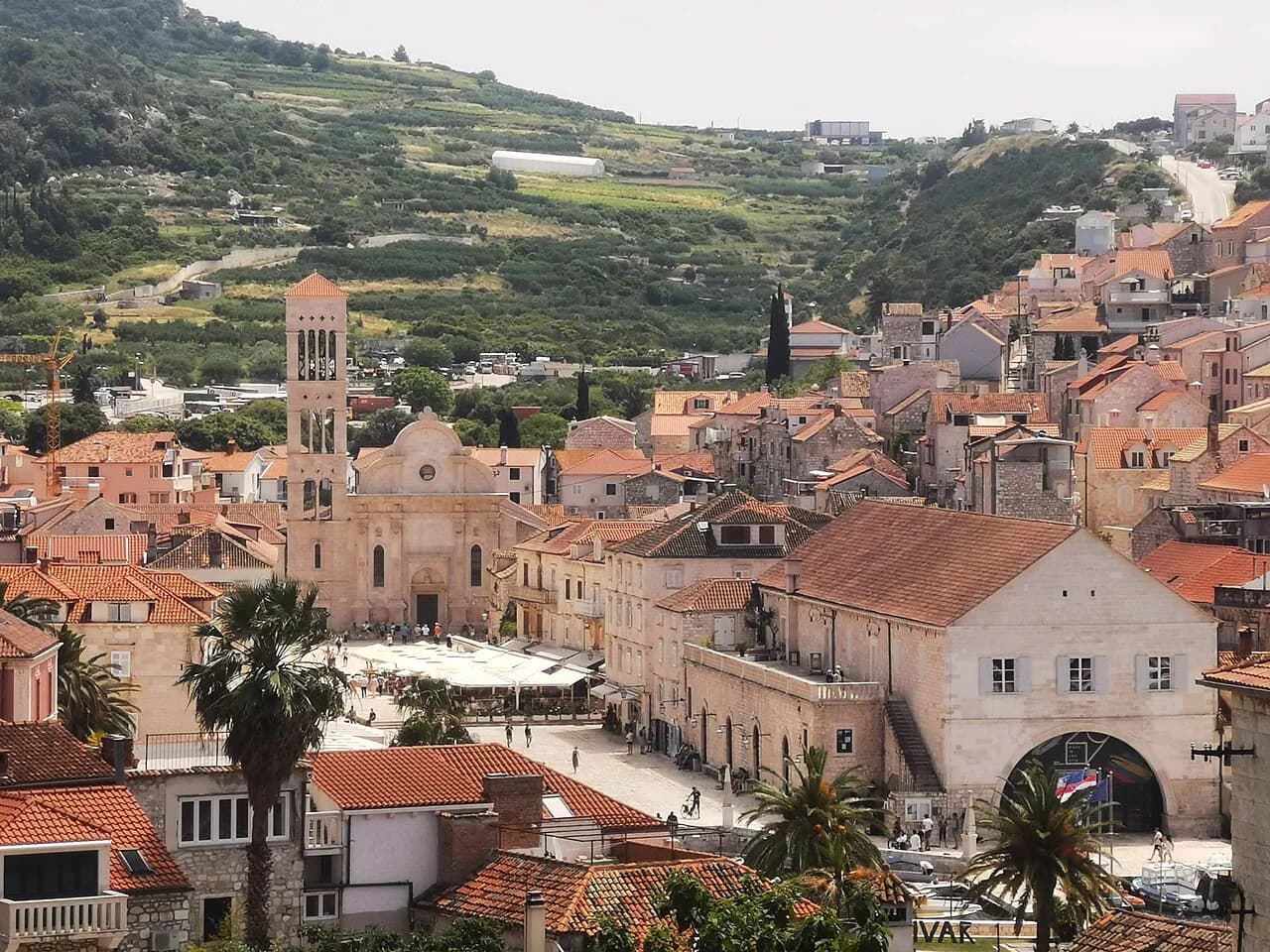
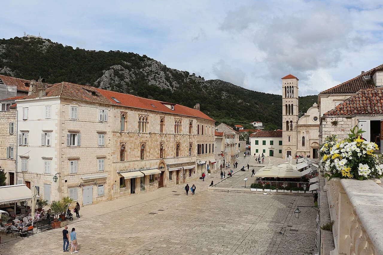
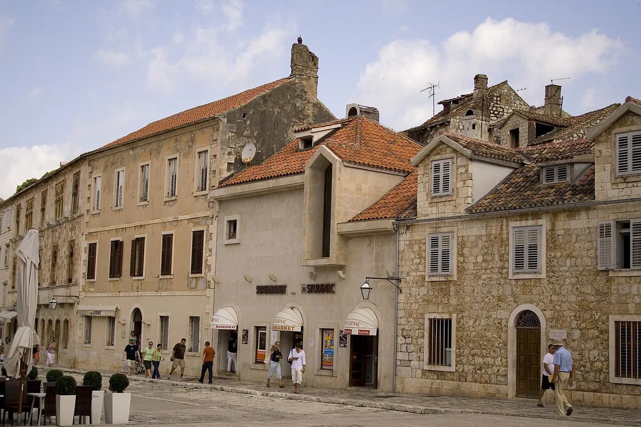
Hvar Town's core is small enough to orient yourself on the map in a few minutes. St Stephen's Square, known locally as Pjaca, is the largest square in Dalmatia, and it opens onto the harbour on its west side with St Stephen's Cathedral at the east end. The square was originally a deep cove, filled and paved over the centuries, so the town grew outwards from the water. Everything in the old centre is measured from here.
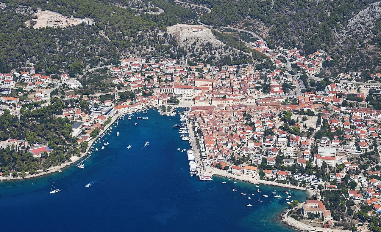
North of the square, the streets climb towards the Fortica, the hilltop fortress also called Fortica that sits around a hundred metres above the town and once formed a defensive system with the city walls. The climb is short but steep, and the reward is the view back over the harbour and across to the Pakleni Islands. The fortress keeps an archaeological collection among its displays, so the walk doubles as a museum visit.
South and west of Pjaca, the Franciscan Monastery stands on the Križa side with its church collection and a celebrated painting of the Last Supper, plus a cypress in the courtyard. Behind the square, the Benedictine Nunnery contains agave-thread lace inscribed on UNESCO's Intangible Cultural Heritage list, and the Arsenal houses the oldest communal theatre in Europe alongside a gallery of modern art. Together these pieces let you pace the old town on a map without crossing it twice.
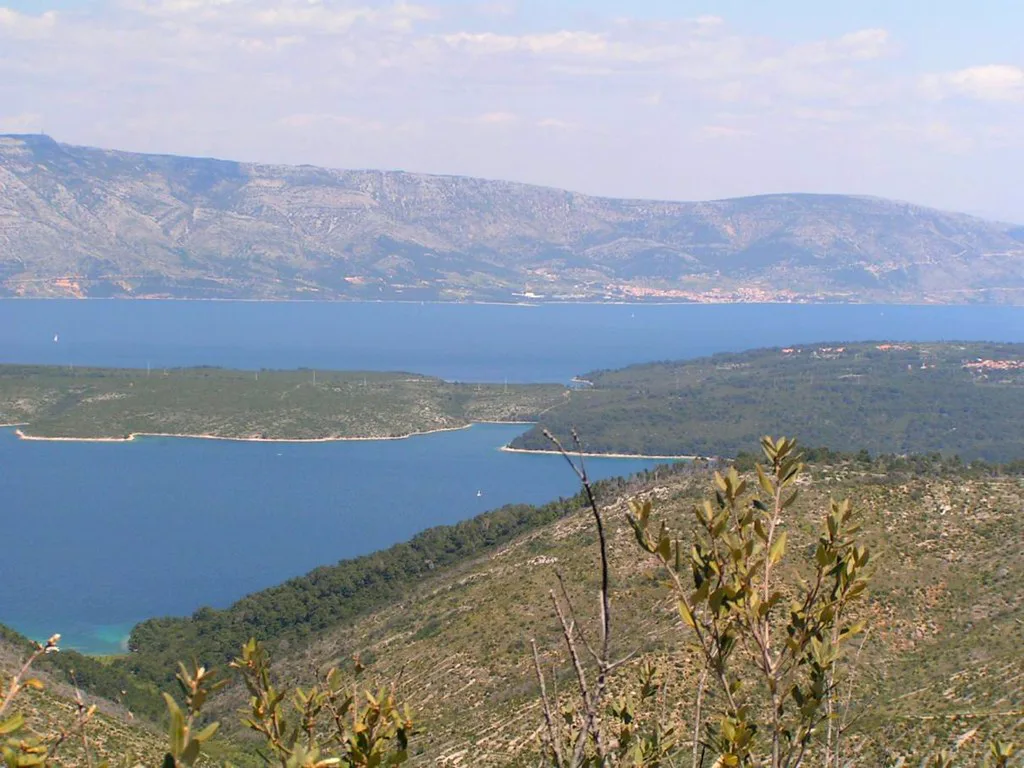
The island's four anchor points: Hvar Town, Stari Grad, Jelsa and Sućuraj
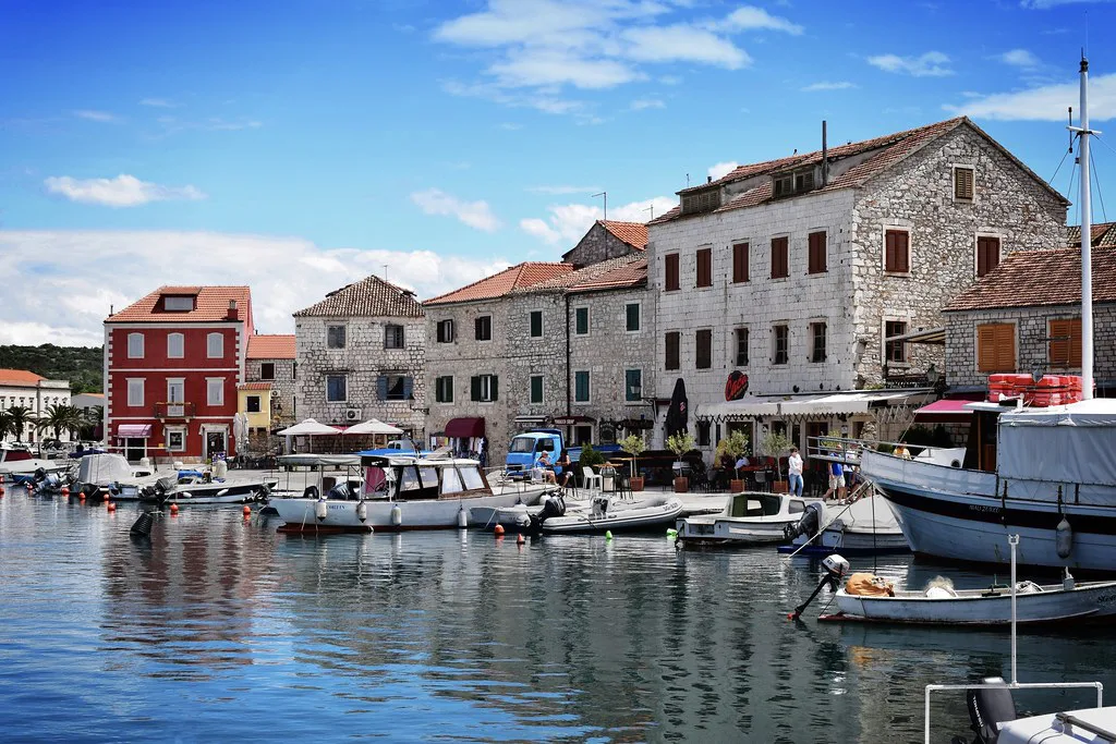
Four places anchor the map. Hvar Town is the postcard harbour, the Fortica and the densest concentration of sights. Stari Grad, on the north coast, is the older settlement, laid out around its own harbour and the Tvrdalj, the fortified summer house of the poet Petar Hektorović. Jelsa sits in a sheltered bay between them, quieter and with a long waterfront. Sućuraj, at the eastern tip, is a small harbour village with its own ferry link to the mainland.
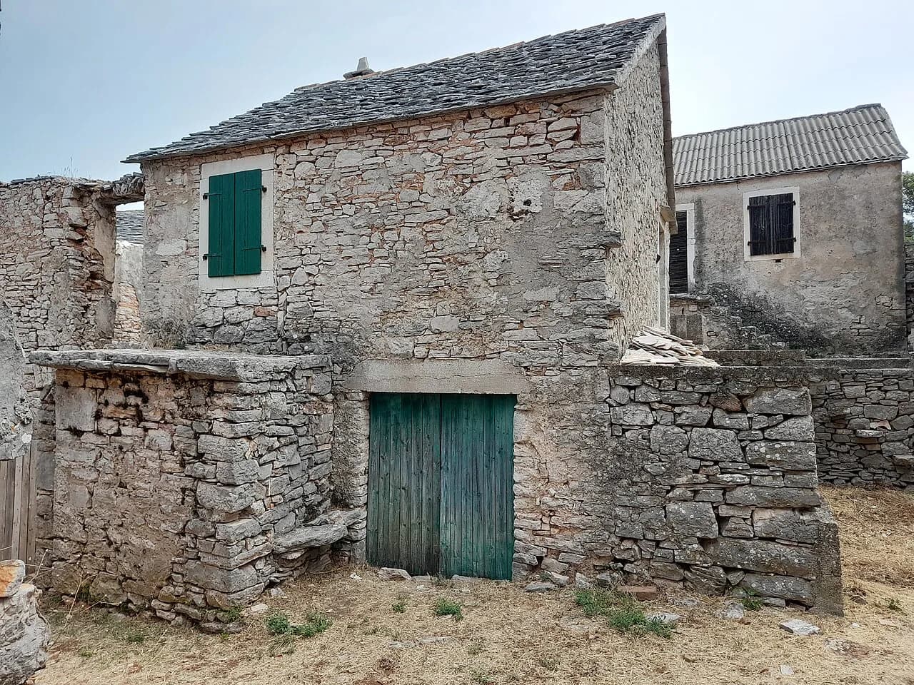
Reading the map as a traveller, the practical consequence is that a base on one end of the island is not close to the other. From Hvar Town to Sućuraj is a long drive, and the island's single main road threads through the interior rather than hugging the coast. That is why the Stari Grad, Hvar: Old Town, Tvrdalj and How Long to Stay guide is useful even from Jelsa: the old harbour town sits between the two ends and makes an easy stop. A little further from the coast, the abandoned village of Humac is worth a detour if you want to break the drive.
Behind Stari Grad lies the Stari Grad Plain, the UNESCO-listed Greek field system laid out in the fourth century BC and still farmed in its original parcels. The tourist board traces the island's winemaking to those first Greek settlers, who brought vines when they arrived and planted them in the plain, a tradition that has continued for more than 2,400 years. On the map, the plain sits between Stari Grad and the interior villages, making it a natural add-on to a Stari Grad Plain, Hvar day rather than a separate journey.
Which ports take car ferries and which take foot passengers
The map splits the island's ferry traffic by port. Stari Grad is the main car-ferry port, lying closer to Split across the Hvar channel, and it is the port that most motorists use to bring a vehicle over. Hvar Town is a catamaran and passenger port, convenient for foot passengers arriving directly from Split. Jelsa also has passenger connections. Sućuraj, at the far east, runs a short car ferry across to Drvenik on the mainland, so travellers driving down the coast can jump the channel there instead of backtracking to Split.
Do not rely on a figure you have seen in a chat or a memory for crossing times. Jadrolinija and the catamaran operators publish seasonal timetables, and sailing frequencies change with the calendar. Before you commit to a car-ferry booking, check Jadrolinija's own schedule and ticket details for your dates. That check also decides which town you land in, and so which end of the island you need to drive on arrival.
Driving the old Hvar-to-Stari Grad road across the island
The road from Hvar Town to Stari Grad cuts inland and climbs, giving you the island's best map-level view of how the two coasts relate. Along the way it passes close to Hanibal Lucić's summer residence, the sixteenth-century country house with its Renaissance garden, which is now the Hvar Heritage Museum and includes the ornament known as the Beast of Hvar. That stop puts a cultural point on the drive without diverting far.
If you are planning to base yourself at one port and visit the other, expect to spend part of the day on this road rather than by the water. A sensible map plan is to see Hvar Town in the morning, drive to Stari Grad for the afternoon, and stop at the plain or a village on the way back. The route is straightforward, but a car or a local bus is needed; the map's short straight-line distance hides the climb.
What the map shows in the east: Sućuraj and the mainland crossing
Sućuraj is easy to overlook on a map of the island's sights, but it plays a real role in route planning. From here a short car ferry crosses to Drvenik on the mainland, which makes it the natural exit point if you are driving down the coast from Split and want to reach Dubrovnik without returning through Split. It is also the landing point for the eastern end of the island, where the land narrows and the road runs along the ridge.
The village itself is small, with a harbour front and the Vujnović winery in a fifteenth-century house on the Riva. Treat Sućuraj as a transport hinge and a short stop rather than a base for the whole island: the drive back to Hvar Town is long. If your map shows you only one crossing each way per day, plan the rest of the day around that sailing rather than the other way round.
Reading the map's old-town detail: Arsenal, monastery and nunnery
Hvar Town rewards a close reading of its streets. The Arsenal was built in 1579 on the site of a thirteenth-century building, originally as a storage and service facility for Venetian ships, and it now holds the town's gallery and the historic theatre. The Franciscan Monastery on Križa has a fifteenth-century foundation and a garden cypress listed as a botanical monument. The Benedictine Nunnery keeps the UNESCO-listed agave lace made by the nuns since the nineteenth century.
On the map these sit within a few minutes of each other, which is why a single loop around the old centre works. Start at Pjaca, climb to the Fortica, come down to the Arsenal and theatre, and finish at the Franciscan Monastery before the harbour. Doing it in that order keeps the steepest climb early. The cathedral treasury in the Bishop's Palace is another short stop if you have time.
Which map to carry: paper, phone or the tourist board guide
For the island's main towns and roads, a phone map is enough: mobile coverage works across the island and the roads are straightforward. But for the old-town lanes, where the streets are narrow and signed only in Croatian, a downloadable or paper map is more useful than a screen. The tourist board's own guide, available as an interactive PDF, includes maps, details and contact points. It is a sensible backup to carry for the ferry ports, since a flat battery at the terminal is the last thing you need.
Viamichelin's Hvar page is useful for a quick town-level view and for seeing where the island sits relative to the mainland, though it is a general mapping service rather than an island guide. Use it to orient yourself before you book anything. For a full picture of the towns, the Hvar Attractions guide gives each sight and neighbourhood its own page.
Which port should you book into?
The map answers that question fairly cleanly. If you are bringing a car, look first at Stari Grad, the island's main car-ferry port, or at Sućuraj if your route runs down the Dalmatian coast towards the south. If you are travelling on foot, Hvar Town's catamaran connections put you straight into the old centre. Decide your port before you decide your base, because the drive between the two ends of the island is long.
Either way, read the island as four anchors rather than one destination: Hvar Town for the Fortica and the old town, Stari Grad for the harbour and the plain, Jelsa for the middle, Sućuraj for the eastern crossing. Use the tourist board's guide to confirm ferry timetables for your dates, then let the map decide the order. That is the single most useful thing an island map can do.
Explore more Hvar guides
Sources
Notes from the Croatian coast
Optional updates when our guides change.
You might also like
Continue reading
More guides you'll find useful