Stari Grad Plain, Hvar: What to See and Decide
The Stari Grad Plain is Hvar's UNESCO-listed Greek field system of stone walls, olive groves and shelters, still farmed today. Here is how to see it.
On this page
The Stari Grad Plain is a flat agricultural belt beside Stari Grad town on Hvar, and the reason to go is not a monument but a land division: Ionian Greeks from Paros colonised the plain and parcelled it into plots that have stayed practically intact since. UNESCO lists it as a cultural landscape rather than a ruin, so you visit it by walking or cycling between working olive groves, vineyards and dry-stone walls. This guide covers what the Greek field system actually is, how the plain relates to the town, and the two waymarked trails that start in Stari Grad, which is covered in the separate Stari Grad, Hvar guide.
What the Stari Grad Plain is and why UNESCO listed it
The plain lies on the Adriatic island of Hvar, and UNESCO describes it as a cultural landscape that has remained practically intact since Ionian Greeks from Paros first colonised it. That wording matters: the listing recognises a system of fields and boundaries still in agricultural use, not a set of excavated buildings behind a fence. You are looking at the survival of an ancient grid of plots, read through the walls, tracks and crops that mark it out today.
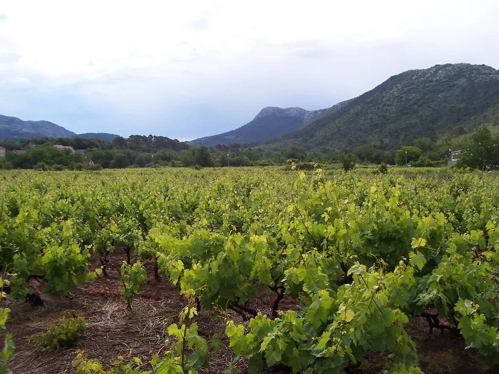
The landscape itself is olive groves, vine ranks and little stone shelters and walls, the components that make the Greek parcelling legible on the ground. Because the plots are still farmed, the plain changes with the season and with whatever each holder is growing, so treat the fields as the exhibit. A slow half-day serves it far better than a quick photo stop, and if you have already worked through the Things to Do on Hvar Island guide, this is the one landscape that explains how the island was settled.
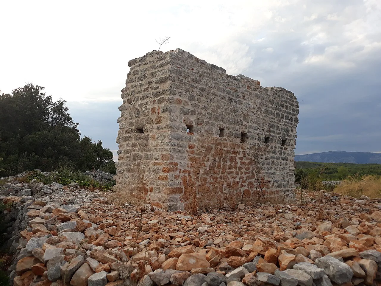
Where the plain sits in relation to Stari Grad and the rest of Hvar
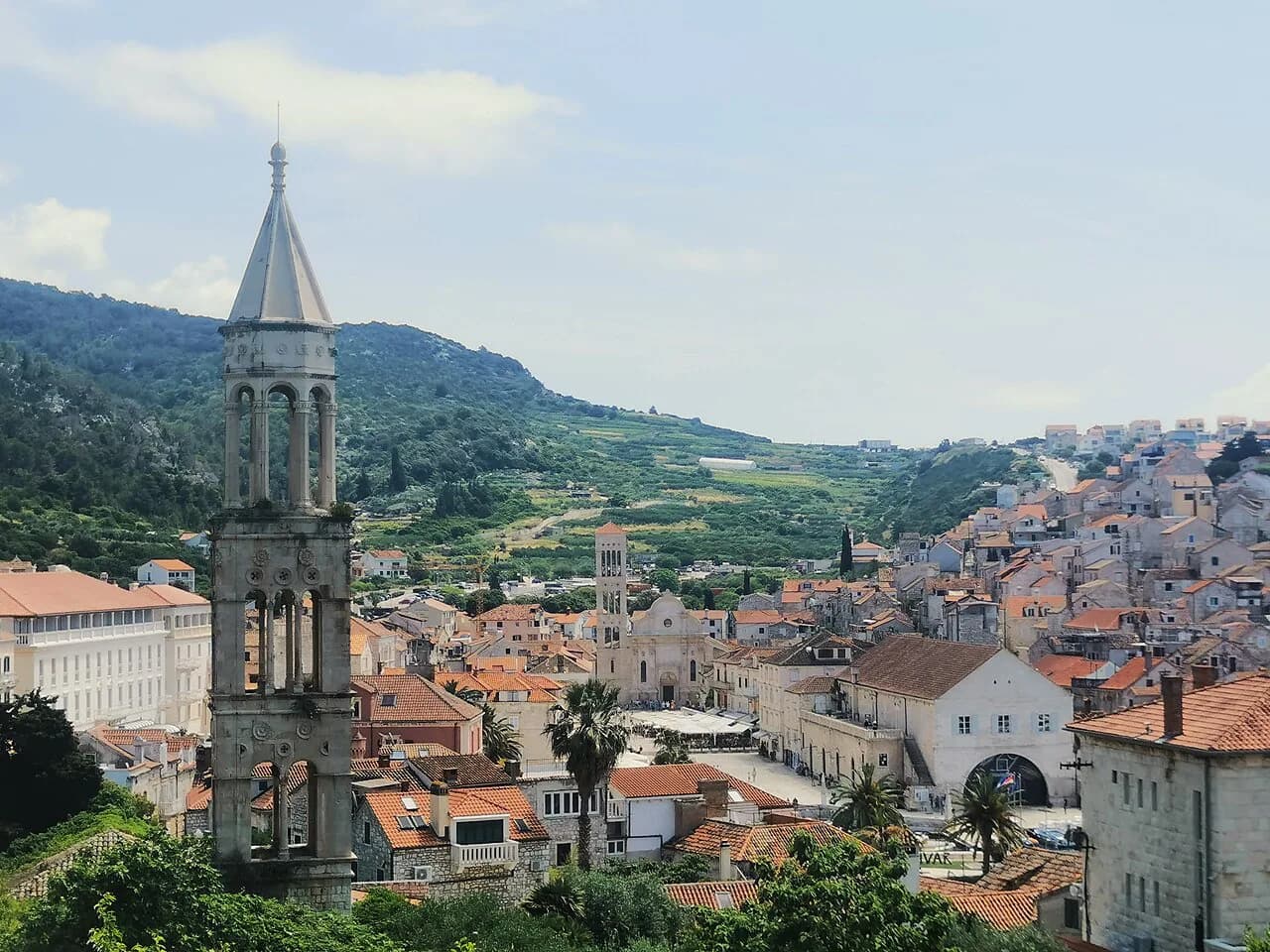
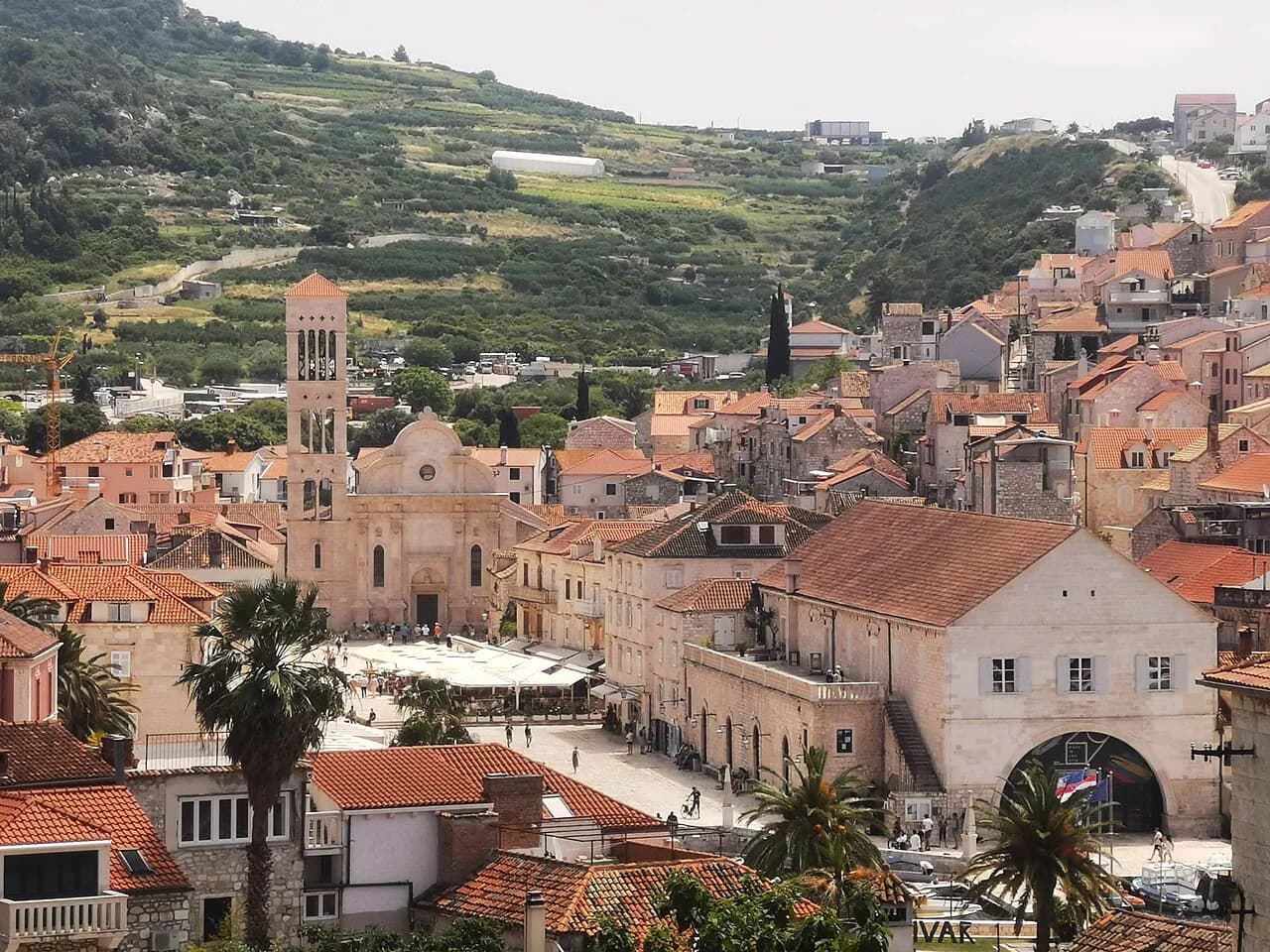
Stari Grad town is the deep-bay harbour on the north-west side of the island and sits at the western edge of the fields, so the two are close enough to combine on foot: the waterfront and old lanes lead straight out into the plain. If you want the town's layout first, the Stari Grad, Hvar guide covers the Riva, the harbour and the old core.
Hvar is a long, narrow island, and the plain occupies the flatter ground behind the northern coast rather than the steep southern shore. That makes it an easy add-on to a day in Stari Grad but a poor fit for a rushed itinerary that also wants Hvar Town and the Pakleni islands; if Hvar Town is your base, the Hvar attraction guide sets out the town sights you would be choosing between.
For orientation before you commit, keep the geometry simple: the plain is a broad patch of flat ground on the north side of Hvar, and almost everything else on the island is either hill or coast. Stari Grad marks the western edge of the plain and Hvar Town sits at the far end of the island.
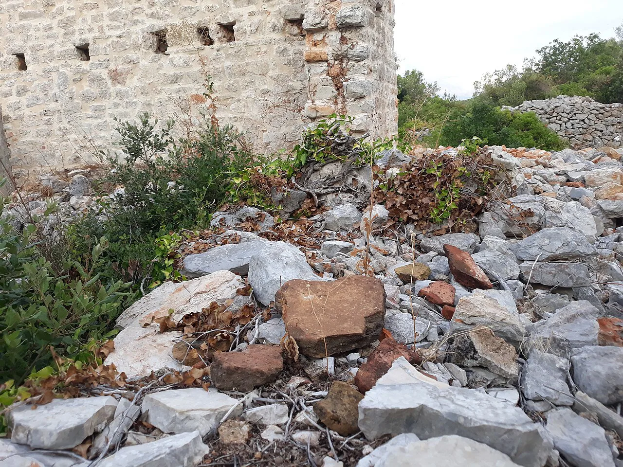
The Greek field system: chora, dry-stone walls and stone shelters
A chora, in the Greek colonial sense, is the agricultural territory belonging to a city, and on the Stari Grad Plain it was divided into regular plots for colonists from Paros. The grid was not drawn for show: it allocated land, and its lines were then maintained physically with dry-stone walls built from stone cleared off the fields. Those walls are the most visible relic of the original survey, because they follow boundaries laid down long before the present crops.
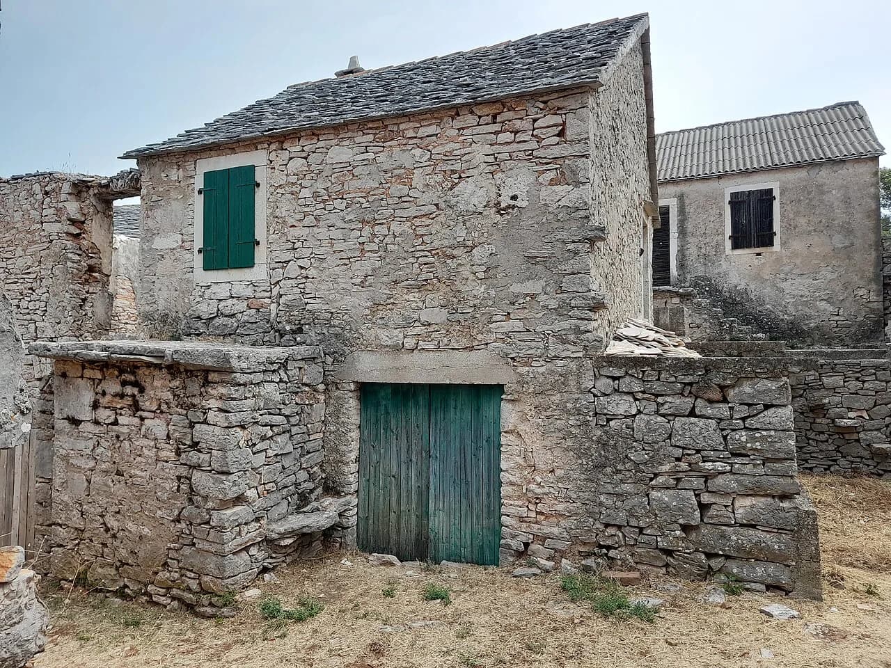
Stone shelters, built in the same dry-stone technique, are the other structure you will notice scattered among the plots. They gave farmers somewhere to store tools and take cover, and their survival alongside the walls is what makes the plain read as a coherent system rather than isolated ruins.
What survives to see today: olives, vines and boundary walls
What you actually see is a living farmed landscape: olive groves, vine ranks, dry walls and small stone buildings, all still in use. The plain's value rests on that continuity, and the crops are the working evidence of it rather than a backdrop. Photograph the pattern from a high point rather than chasing individual field monuments.
The archaeological site of Kupinovik lies along the Purkin kuk trail, which crosses the Pharos Hora, or Ager, before climbing to the peak south of town, so you get a specific, nameable stop on your route rather than a general amble. Because the plots are private and worked, there is no circuit of signposted ruins to tick off; the honest expectation is a landscape, two marked trails and the town at the edge of it.
How to visit: walking and cycling across the plain
Walking is the simplest way onto the plain from Stari Grad, and the tourist board publishes hiking charts for the two main routes, Glavica and Purkin kuk, with their lengths and altitudes. Either way, start from Stari Grad town and treat the plain as the middle of the day.
Take water and sun protection seriously between late spring and early autumn, because the plain is open, flat and hot with little shade along the walls. Early morning gives the best light for reading the field pattern and the coolest walking. The bura, the cold north wind, can make the exposed ground raw even on bright days, so a windproof layer earns its place.
Two marked trails from Stari Grad: Glavica and Purkin kuk
The Glavica trail runs 7 km with 111 m of altitude gain, heading north of Stari Grad on a gentle incline to a summit marked by a large stone cross visible from the town centre. At the top there is a prehistoric fort ringed by a circular pile of rocks, plus a wide view over the town, its blue bay and the green plain. It is the shorter and easier of the two, and the better choice if you want the overview without a long day out.
The Purkin kuk trail runs 9.20 km with 276 m of altitude to a peak on the hill south of Stari Grad, crossing the Pharos Hora, or Ager, and passing Kupinovik on the way. It is the longer and higher option. Neither route is a technical climb, but the altitude figures are cumulative hill walking rather than flat strolling, so do one trail properly rather than both in a day.
Views and photographs: the Glavica cross and the plain from above
Glavica gives the classic image: the stone cross on the summit, the town and bay below, and the green plain stretching away behind it. The tourist board singles out the top as an excellent place to take photos and rest, which is a fair description of the reward for the gentle climb. Go for the pattern of walls and plots seen from above rather than for a close-up of any single field.
From Purkin kuk the view is higher and further south, looking back over the Ager you have just crossed. Together the two summits give you the plain from opposite sides, which is why picking one with the light in mind beats rushing both.
Working farmland: how to behave on private plots
The plain is cultivated, so the walls and tracks are working boundaries, not a footpath network; stay on marked routes and obvious tracks, do not cut through plots or climb over walls to reach a shelter, and leave gates as you find them. This is the central trade-off of the visit: the landscape is protected precisely because it is still farmed, and that means access follows local convention rather than open entry to every field. Summer heat is the other constraint, so walk early and carry more water than you think you need.
Getting there and timing the visit
The plain is reached from Stari Grad town on the northern coast. From Hvar Town at the other end of the island you cross by road, so if the town is your base, treat the plain as a separate day and check the Hvar Town sights separately.
Timing is mostly about heat and light rather than crowds, since the plain absorbs visitors far better than the town waterfront does. Late spring and early autumn give comfortable walking temperatures, while high summer demands an early start, and the bura can arrive at any time of year. Ferry and catamaran timetables to Stari Grad change with the season and are set by Jadrolinija and the catamaran companies serving the island, so confirm sailings with them before you build a walk around an arrival time.
Pairing the plain with the rest of Hvar
The plain is the historic anchor of the northern side of Hvar, and the villages further east on the same coast make a natural continuation by road. For the island's wider story rather than one landscape, the Things to Do on Hvar Island guide pulls the individual sights together and helps you decide what to cut. The plain earns its place on that list because it explains the settlement, not because it is spectacular in the way a fortress is.
Which trail should you walk?
Take the Glavica trail if you want the plain explained in a single view: 7 km, 111 m of ascent, a summit cross and a prehistoric fort above the bay. Take Purkin kuk if you would rather cross the Ager itself, pass Kupinovik and climb 276 m over 9.20 km for the higher outlook. Both start from Stari Grad.
Whichever you pick, go early, stay on the tracks, and treat the walls and shelters as working farm infrastructure. That is what makes the Stari Grad Plain worth the walk in the first place.
Explore more Hvar guides
Sources
Notes from the Croatian coast
Optional updates when our guides change.
You might also like
Continue reading
More guides you'll find useful