Zadar Map: Old Town, Harbour and Getting Around
A visitor's Zadar map guide: how the old town peninsula is laid out, where the Sea Organ and Riva sit, and how the harbour and bus station connect.
On this page
Zadar's old town is a walkable peninsula, and the fastest way to read a Zadar map is to treat it as a loop rather than a list. Fix yourself on two reference lines first: Kalelarga, the straight main street through the middle, and the Riva along the waterfront. This guide groups the sights by area and then explains how the harbour and bus station fit around the historic centre.
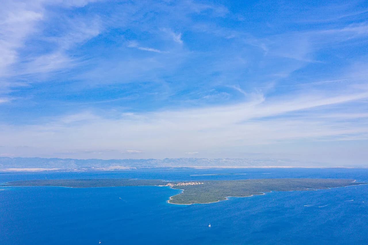
The city covers about 25 square kilometres on the Adriatic, in the north-western part of the Ravni Kotari region, and the historic core sits on its peninsula. That shape matters more than any street address: once you have the layout clear, most of the old town is a short walk away.
The peninsula shape and what it means for walking
Think of the old town as a compact cluster of stone streets on a peninsula reaching out to the sea, with the Riva following the waterfront and the open water at the tip. Because the peninsula is small, you are rarely far from the shore, and a wrong turn costs you little. Plan your day by area rather than by ticking off a numbered route.
This is also why a phone map beats a printed one for orientation: you can zoom in on the peninsula, switch to satellite view and see exactly where the land ends. A scrollable street map lets you turn and follow the two long lines of Kalelarga and the Riva for yourself.
The old town on a map: Kalelarga and the Riva
Kalelarga is the spine of the old town, a straight pedestrian street through the middle. If you remember nothing else, remember that almost every sight is a short turn off it. The Riva is the second line, following the waterfront where the town meets the water.
Use the two together. Standing on the Riva, Kalelarga leads you inland; standing on Kalelarga, the Riva tells you where the water is. Between them you can place the main sights and the tip of the peninsula without needing every street name.
Mapping the tip: Sea Organ, Greeting to the Sun and the sunset
The tip of the peninsula is where most visitors end up at the end of the day. The Sea Organ (Morske orgulje) is built into the waterfront steps, and the Greeting to the Sun installation sits on the same paved area, so the two are seen together in one stop.
On a map, this is the far end of the old town, so allow for a walk back after dark. The steps fill up towards sunset; if you want space, arrive well before sunset and treat the spot as a place to sit rather than a quick photo stop.
The Forum and the churches at the heart of the old town
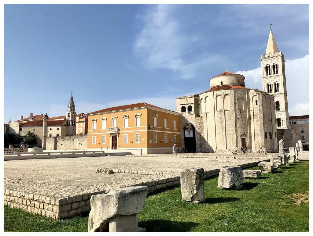
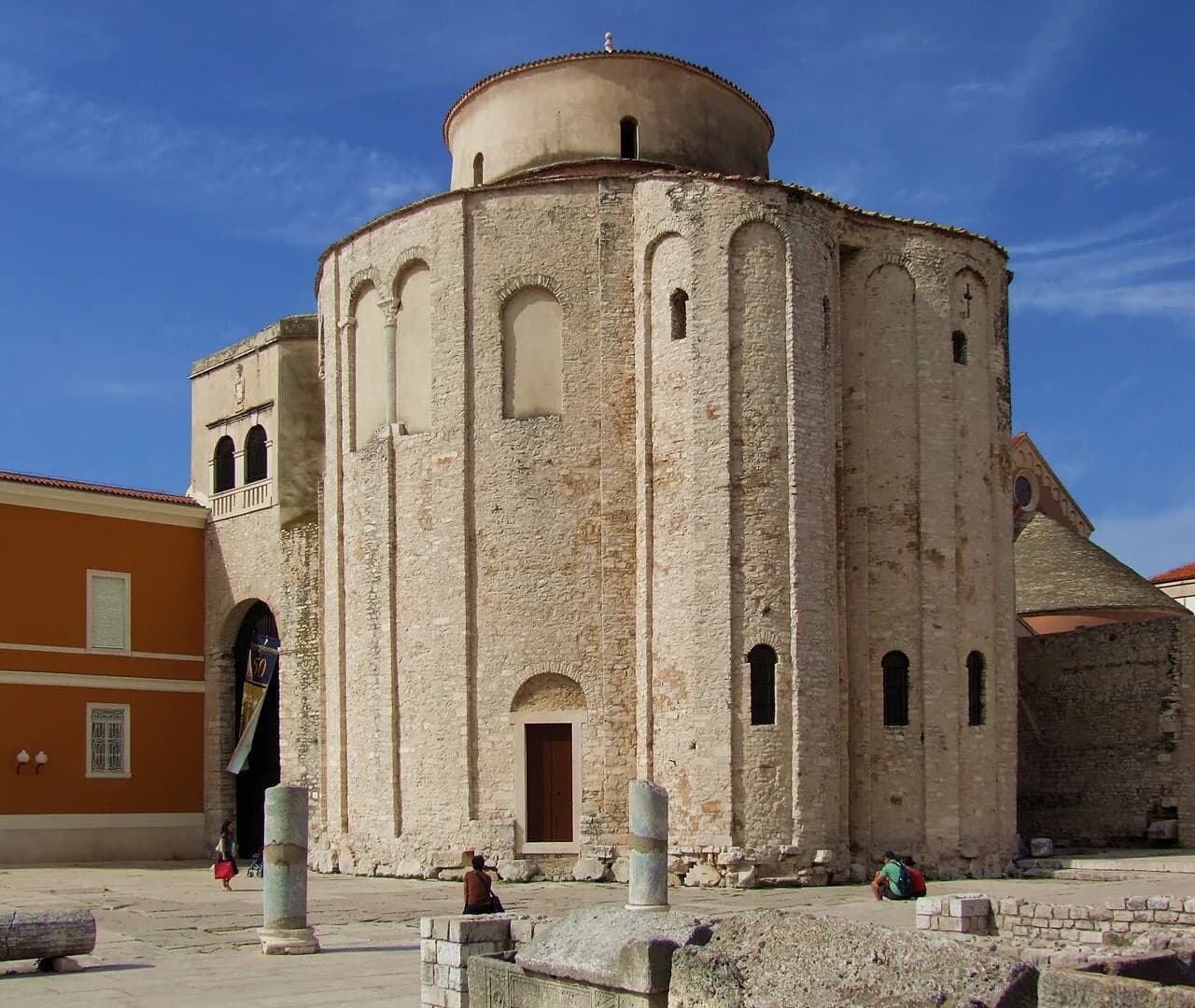
The Roman Forum is the square that anchors the middle of the old town, and it works as a second reference point after Kalelarga. The surrounding churches and historic buildings give you a compact area to explore on foot, and the open square is easy to find from the street grid. Group it with the tip of the peninsula in one loop rather than criss-crossing the old town.
Opening times and entry arrangements for the churches and nearby museums vary, so check the current position with each site before you build a day around them. The open square itself is a reliable orientation point even when the surrounding interiors are shut, since it is a public piazza rather than a ticketed attraction. When you want the detail on individual sights, work through the things to do in Zadar guide and pick by area.
South and east sides: harbour, landing stages and the land gate
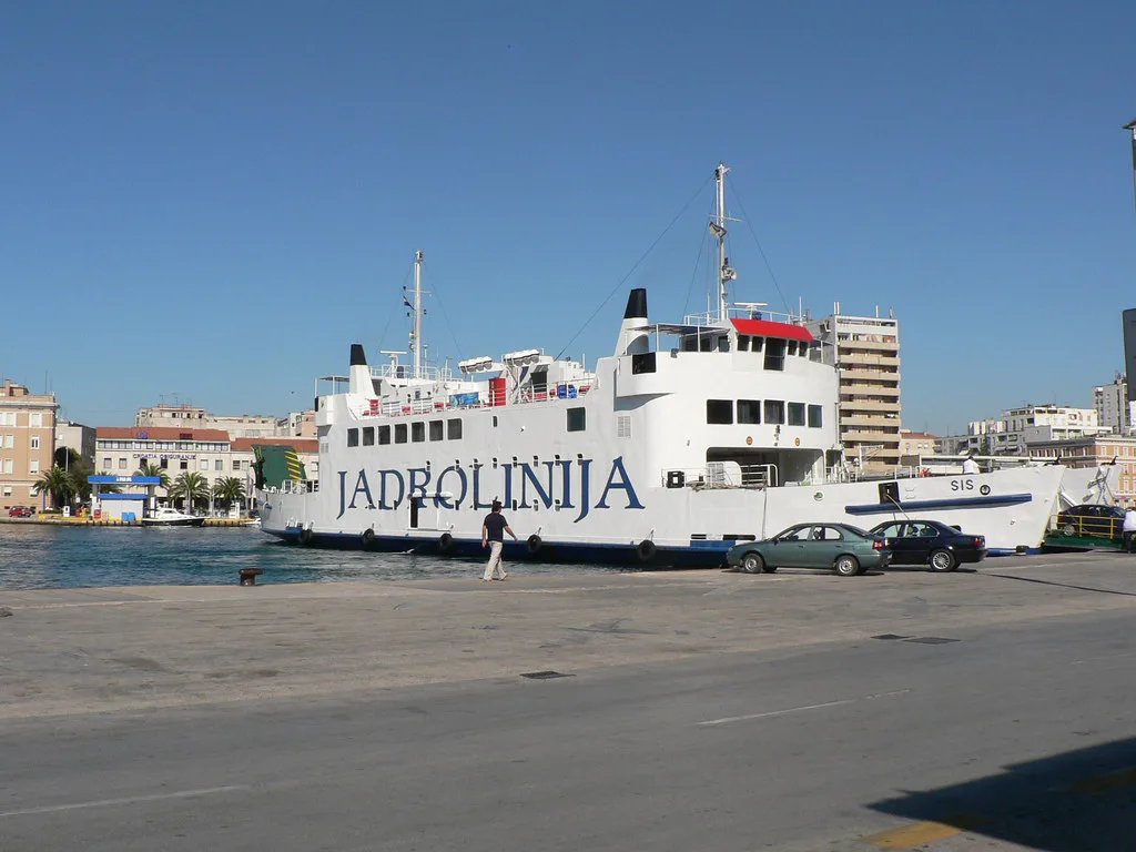
The south-eastern edge is where the old town meets its working harbour and the main approach from the modern city. The Riva runs along this side, and the land gate gives you the classic entry into the old town from the newer town. On a map, follow the Riva round and you will reach the gate without fuss.
This side is also where you feel the town's dual role as a historic centre and a ferry port, so expect vehicle traffic and foot passengers near the landing stages. If you are arriving by bus or boat, orientate yourself here first, then head inland to Kalelarga. Timetables and operator details change by season, so confirm them with the company running your service rather than relying on a map pin.
Bus station, ferry port and the old town on the map
The bus station and the ferry port serve the modern city rather than sitting inside the historic core, which is where first-time visitors most often lose their bearings. Treat them as separate pins on your map and plan a walk from there to the land gate, rather than expecting to step off a bus into the old town. Once you are through the gate, the old town layout takes over.
For pre-trip planning, drop the pins you care about — bus station, ferry port, land gate, Kalelarga, Sea Organ — into a saved map before you travel. That way you can see the distances between them at a glance and decide whether a taxi is worth it with luggage. Exact quay numbers and departure points are best confirmed with your operator on the day.
Walking times between the main points of the peninsula
Because the old town is small, every pair of sights inside it is a short walk: from the land gate to the Forum, from the Forum to Kalelarga, and on to the tip where the Sea Organ sits. Build your route as one loop rather than several out-and-back trips, and you will cover the ground in an afternoon without rushing.
The longer legs are the ones outside the core: bus station to the land gate, and ferry port to the Riva. Those are the walks to plan for, especially with bags or in the heat of summer. Set your saved map to walking mode and check the route once before you arrive, then rely on Kalelarga and the Riva to navigate through the old town.
Using Street View and a scrollable map before you go
Street View is a practical tool for pre-orientation in Zadar: drag the orange figure onto the map and you can see what the land gate, the Riva and the tip of the peninsula actually look like. Seeing the waterfront steps before you arrive makes the Sea Organ area far easier to find on the day. It also helps you judge how far the bus station walk really is.
Use a mapping tool for orientation only, not for opening times or ticket prices, which change with the season. Confirm those with the site or operator before you go, and keep your saved map handy on your phone for the day itself. With the loop in your head, a Zadar map becomes a quick glance rather than a constant companion.
Which side of the old town do you start on?
Start where you arrive. If you come in through the land gate, walk up to Kalelarga, follow it through the middle and end at the Sea Organ for sunset; if you are coming from the ferry port, head for the Riva first and work inland from there. Either way, group the Forum and the churches with the tip of the peninsula so you walk one loop, not four.
Before you travel, save the pins, check the Street View of the land gate and the waterfront, and confirm any site opening times with the venue itself. The map does the rest, because the old town is small enough to walk and simple enough to remember once you know its two lines.
Explore more Zadar guides
Sources
Notes from the Croatian coast
Optional updates when our guides change.
You might also like

Continue reading
More guides you'll find useful