Brač Island Map: Which Towns and Ferry Ports to Choose
A map-led guide to Brač: where the Supetar and Sumartin ferry ports sit, how the towns from Bol to Pučišća connect, and what the distances mean for your days.
On this page
Brač is the long, high island that sits off Split in the Adriatic, and you read its map by dividing it into quarters rather than by looking for the biggest town. Two ferry gateways at opposite ends, Supetar in the north-west and Sumartin in the east, mean the shape of your trip depends on which one you use to arrive. This guide maps the towns, the road connections and the scale of the island so you can judge which places share a day and which need their own.
Where Brač sits on the map: neighbours and crossings
Brač lies in the Adriatic off the Dalmatian mainland, with Split and its coast to the north and the island of Hvar beyond the channel to the south. That position helps explain why many travellers treat it as an island reached from a mainland city rather than a destination in its own right, and why the crossings matter more than the distances on the island itself. For the wider picture of what the island holds, see the Brač Island guide.
For trip planning, fix the island in your head as the one parallel to the coast rather than a satellite of Split. Crossing times and fares shift with the season, so plan around the ports you want to use and confirm sailings when you book.
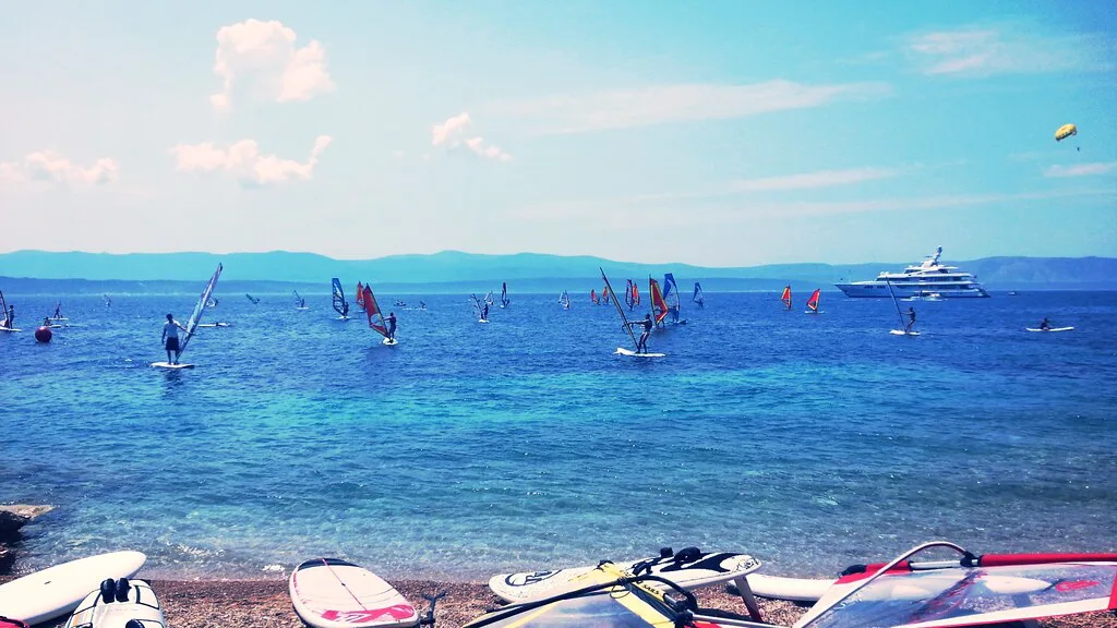
The two gateways: Supetar in the north and Sumartin in the east
Supetar is the northern ferry town and Sumartin the eastern one, and these are separate arrival points that lead into different halves of Brač. Land at Supetar and the western coast towns of Sutivan and Milna, plus the interior, are within reach; land at Sumartin and you start nearer Selca and the east end, with Povlja reached via Novo Selo. Choosing between them is the single biggest decision in shaping an itinerary, because the two ports sit far apart and the island's high interior lies between them.
Look at the map before booking and pick the port that puts the places you most want to see first. If the south and east are your priority, arriving at Sumartin puts Selca and the run through Novo Selo to Povlja close at hand; if the western harbour towns matter more, Supetar pulls you straight into Sutivan and Milna.
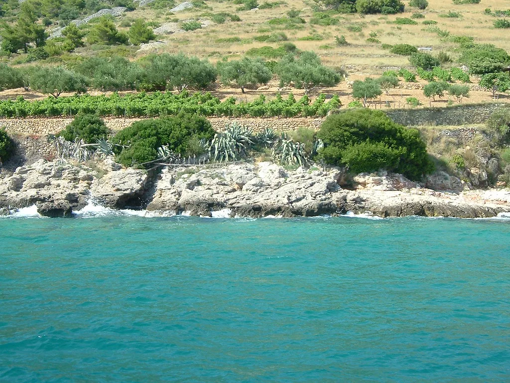
Reading the island in quarters
Think of Brač as four areas: the northern coast of harbour towns running from Supetar towards Pučišća, the interior spine of old stone villages, the southern edge centred on Bol, and the eastern end reaching to Sumartin and Povlja. Towns within the same quarter connect easily; crossing between opposite quarters is what eats the day. Grouping sights by quarter is the most practical way to avoid retracing the same road twice.
The northern coast reads as a chain, the interior as a narrow ridge of villages, and the south and east as their own stretches. Once you picture it this way, the map stops being a jumble of names and becomes a set of loops you can string together.
Supetar, Sutivan, Milna and the western coast
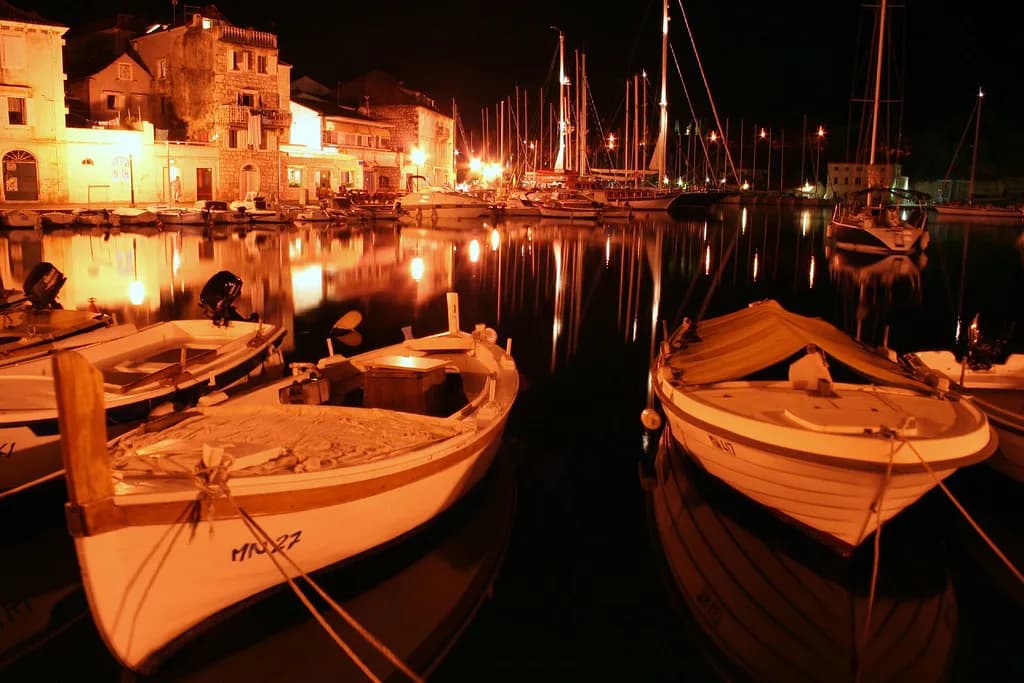
The western coast runs from Supetar through Mirca, Sutivan, Ložišća, Bobovišća and Milna, with the villages set close together along one line. Milna sits at the western tip and its harbour forms a natural stopping point. This is the easiest part of the island for short hops, so it suits an arrival day or a slow half-day of moving between small harbours. The Milna guide covers the village in more detail.
Day 1 of the Camino Brač runs from Supetar through Mirca and Sutivan to Milna over 21.4 kilometres, so Milna is best understood as the western end of that first stage rather than a separate loop; the route's later sections work south and east towards Bol and the eastern end.
Bol, Murvica and the southern edge
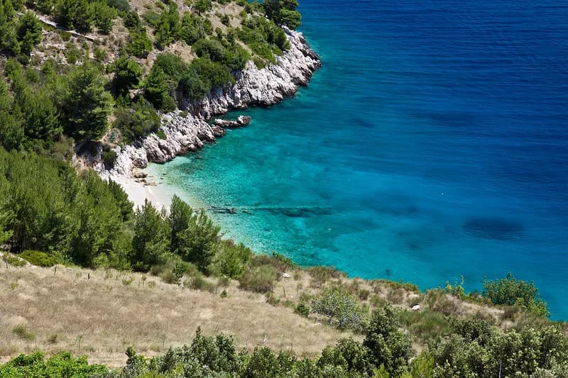
The southern edge is anchored by Bol, with Murvica reached on the route towards Bol from the west and the shingle spit of Zlatni rat close to town. This is the most concentrated southern quarter, and it connects inland towards the villages towards Škrip and Nerežišća rather than directly along the coast to the east. Treat the southern edge as its own lobe rather than a through-route, and the Bol, Croatia guide covers how the town is laid out around its harbour and promenade.
Bol is also the natural place to break a south-to-north crossing of the interior. If you want the south and the interior in one day, base yourself at Bol and work northwards rather than trying to sweep in from Supetar.
Pučišća, Postira and Splitska on the northern coast
East of Supetar the northern coast continues through Splitska, Postira and Pučišća. The Camino Brač stage list runs Pučišća through Pražnica to Postira and then Postira through Splitska towards Škrip, so these towns work as a chain rather than separate excursions. Pučišća makes a natural eastern anchor for this quarter, and its own guide covers the harbour village in detail.
Selca, Sumartin and Povlja in the east
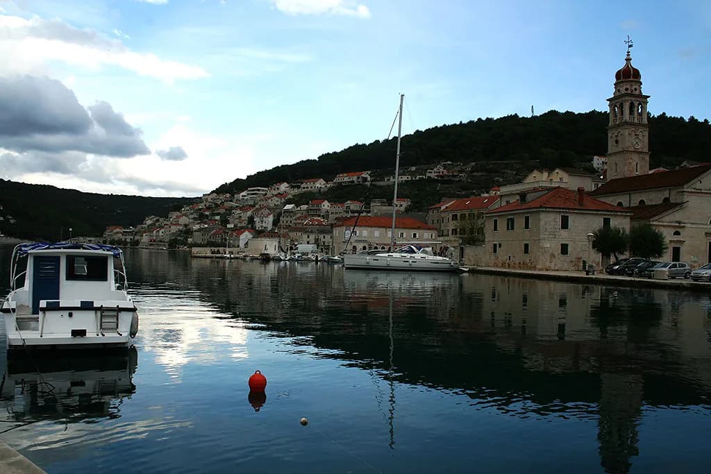
The east end gathers Selca, Sumartin and Povlja, with Sumartin below Selca and the Camino Brač routing Selca to Sumartin and on through Novo Selo to Povlja. This quarter is quieter and more removed from the western harbour chain, which makes it a good choice if you want the eastern end and the villages around it without crossing the island daily. The Selca guide covers the inland town.
Inland Brač: Škrip, Nerežišća, Donji Humac and Gornji Humac
The interior is a spine of villages, with Škrip, Nerežišća, Donji Humac and Gornji Humac named along the routes between the coasts. Škrip makes a practical stop when crossing the island rather than a separate trip, and the Škrip guide covers the village in detail.
Inland roads connect the coasts and give you a way to cut across without returning to Supetar, which is why the interior villages matter for route planning. Use them as waypoints rather than destinations in their own right on a short trip.
The road network and what a point-to-point drive really involves
Brač's roads form a coastal loop linked by inland cross-routes, so almost every journey is either along a coast or over the ridge. The Camino Brač route gives a useful measuring stick: it is a 150-kilometre circular route starting and ending in Supetar, which tells you how much ground the island covers before you ever look at a schedule.
Distances on the map understate the time because the roads climb and turn inland rather than running straight. Plan one coast per day where you can, and accept that crossing from Bol to Pučišća or Sumartin to Milna takes a good slice of the day.
The 150 km Camino Brač circular route and its stages
The Camino Brač route splits its 150 kilometres into suggested daily stages, and those stage distances are the clearest guide to how far apart the towns really are. Day 1 runs Supetar to Sutivan to Milna over 21.4 kilometres, Day 2 covers Milna to Blaca and Farska at 26.7 kilometres, and Day 3 takes Farska via Murvica to Bol over 12.6 kilometres. The later stages continue through Gornji Humac to Selca, on to Sumartin and Povlja via Novo Selo, then Povlja to Pučišća, Pučišća through Pražnica to Postira, and Postira through Splitska, Škrip, Dol and Nerežišća towards Supetar.
Use these figures to understand scale, not as a walking plan. A 21.4-kilometre first stage between Supetar and Milna tells you the western coast is a long day on foot and an easy one by car, which is exactly the sort of judgement the map alone cannot give you.
Which map to carry: phone GPS versus paper
The Camino Brač markings are stone signs on walls and roadsides, and the route organisers warn that some sections can be overgrown with grass and that the markings can be covered. They recommend using the downloadable GPS file with the Maps.Me app as a backup reference on the ground.
For driving and town-to-town planning, a phone map with a downloaded offline area is a practical reference.
How to plan island days around the map rather than the timetable
Instead of chasing ferry times, build days around quarters and let the ports follow. If you arrive at Supetar, take the western coast and interior first, then work east; if you arrive at Sumartin, do the east end and south before crossing inland. This way a delayed or seasonal sailing changes the order of your days rather than wrecking the plan.
Which ferry port should frame your Brač map?
Choose Supetar if the western harbours, Milna and the interior villages are your priority, and Sumartin if the east end and the southern edge around Bol come first. Whichever you pick, plan by quarter, keep one coast per day, and let the island's shape decide the order rather than the sailing you happen to find.
Explore more Brač guides
Frequently Asked Questions
How big is Brač island?
Brač is large enough that the Camino Brač circular route, which starts and ends in Supetar, covers 150 kilometres, split into suggested daily stages. In practice that means the island is not a place to see in a single day, and grouping towns by coast is the sensible way to plan.
What is Brač famous for?
Brač is known for its white stone, worked in villages such as Pučišća, and for the shingle spit of Zlatni rat near Bol on the southern coast. The interior villages of Škrip and Nerežišća add the island's older history to the coastal harbour towns.
How do you reach Brač Island?
Brač has two main gateways: Supetar in the north-west and Sumartin in the east. Crossing times and fares change with the season, so check current details when you book.
Sources
Notes from the Croatian coast
Optional updates when our guides change.
You might also like

Continue reading
More guides you'll find useful