Krka National Park Map: Choose Entrances & Waterfalls
Read the Krka National Park map before you go: where Lozovac, Skradin and Roški slap sit, how the boat to Skradinski buk works and which walking routes link them.
On this page
Treat the Krka map as a set of choices, not a single route. The park authority publishes figures of 109 km², seven waterfalls, ten entrances and 47 km of hiking trails, which is why most visitors pick one waterfall hub rather than trying to cover the whole park. This guide explains how the map is laid out, which gate suits which approach and how the boat and walking routes link up.
Skradinski buk is the centrepiece most people come for, and the Skradin river boat is the alternative to driving to Lozovac. Roški slap sits further east and has its own map, so the two falls are not a single loop.
What the park map covers
The map covers a park of 109 km² with seven waterfalls, ten entrances and 47 km of hiking trails. It also marks 388 km of bike routes, so the sheet carries several layers at once: gates, falls, walking paths and cycling. Those figures tell you the park is too spread out to see in one sweep.
The park authority publishes separate PDFs for the whole park, Skradinski buk and Roški slap, plus brochures for Burnum and the Krka Bike catalogue. Download them before you travel so the map is on your phone when you reach the gate. The whole-park sheet is for orientation; the two waterfall maps are the ones you use on foot.
Where Krka National Park is, relative to Šibenik
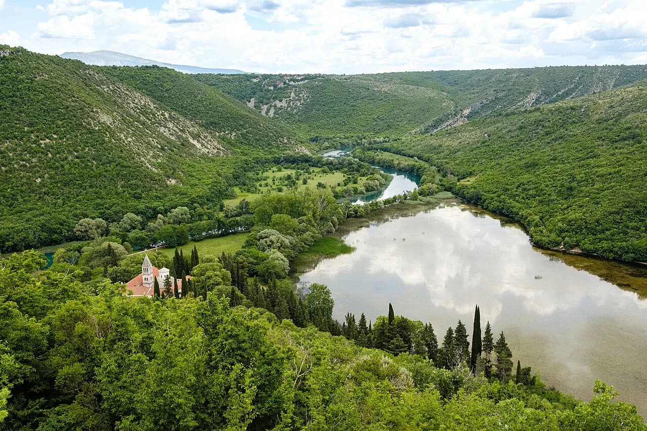
Krka sits inland from the Dalmatian coast, with Šibenik as its nearest city and the park authority based there. The park follows the Krka River, so the map reads as a series of entrance points along the water rather than one boundary. Lozovac is the gate most drivers aim for, while coming from the coast brings Skradin into play.
If you are coming from Split or Zadar, check the map against your route before committing to a gate: the drives between entrances are not short. The ten entrances exist precisely because the park is long and thin.
The two main gates: Lozovac and Skradin
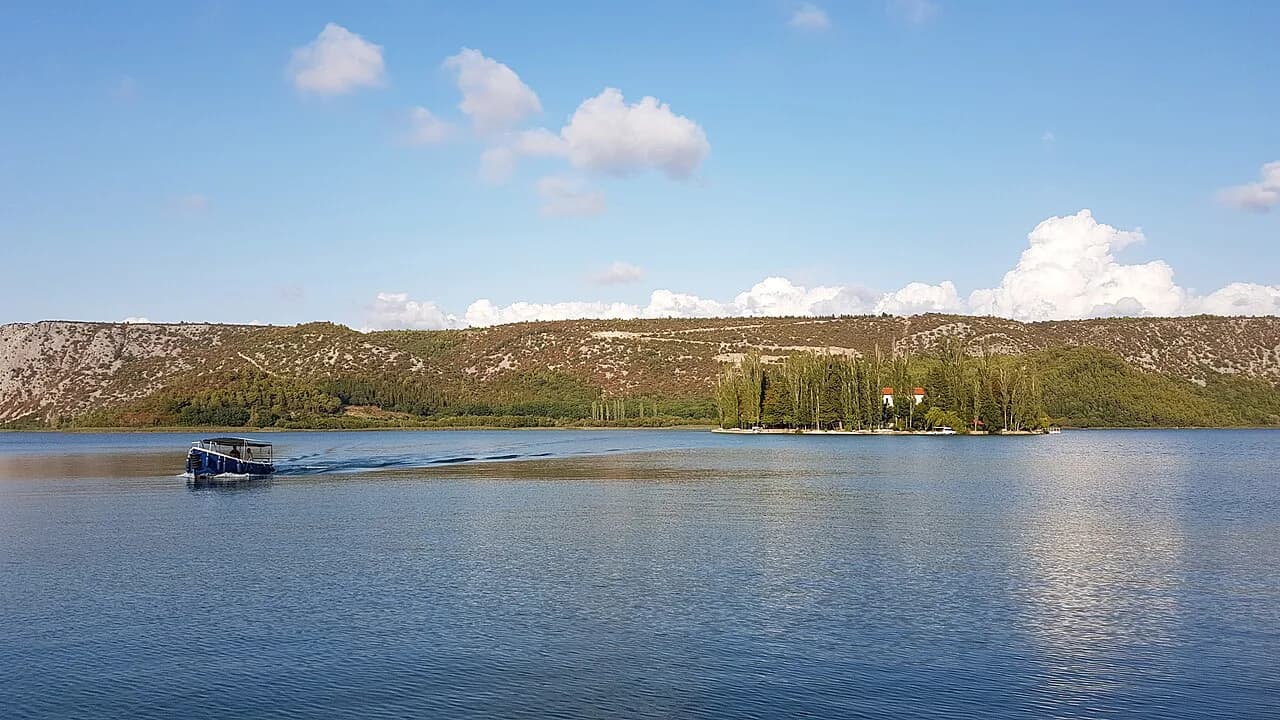
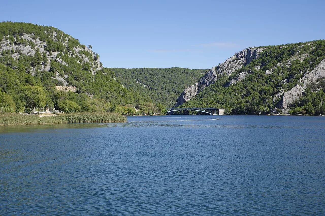
Lozovac is the gate most drivers aim for. Skradin is the riverside alternative: you park in the town and take a boat up the Krka River to the falls. The choice comes down to whether you want to arrive by car or cross the water.
The Skradin crossing is a river trip, and a tour operator running the route describes the boat journey as taking around 30 minutes. Treat that as a journey time from that operator rather than an official park timetable, and confirm sailing times on the day. That half-hour each way is the trade-off against arriving by car at Lozovac.
The Krka National Park entrances page sets out the other gates, which matters if you are staying east of the park or aiming for Roški slap. Not every entrance connects to the same set of falls, so match the gate to the waterfall you want to see.
Skradinski buk: the map's centrepiece
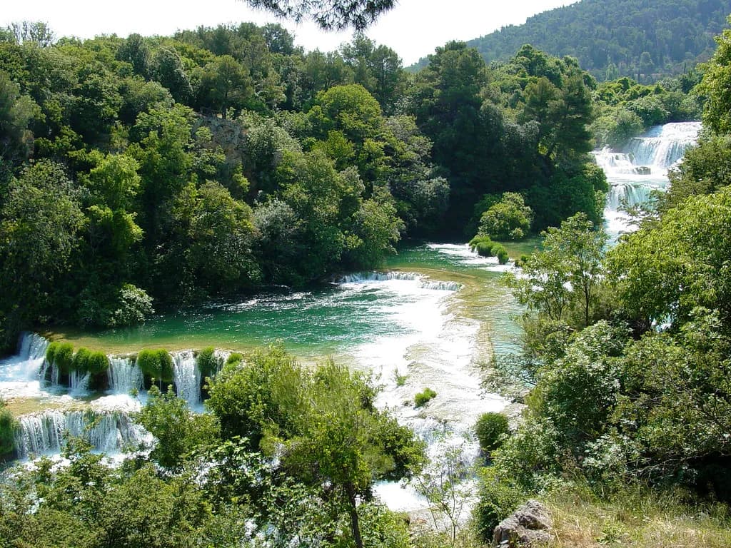
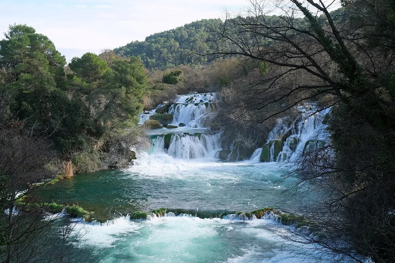
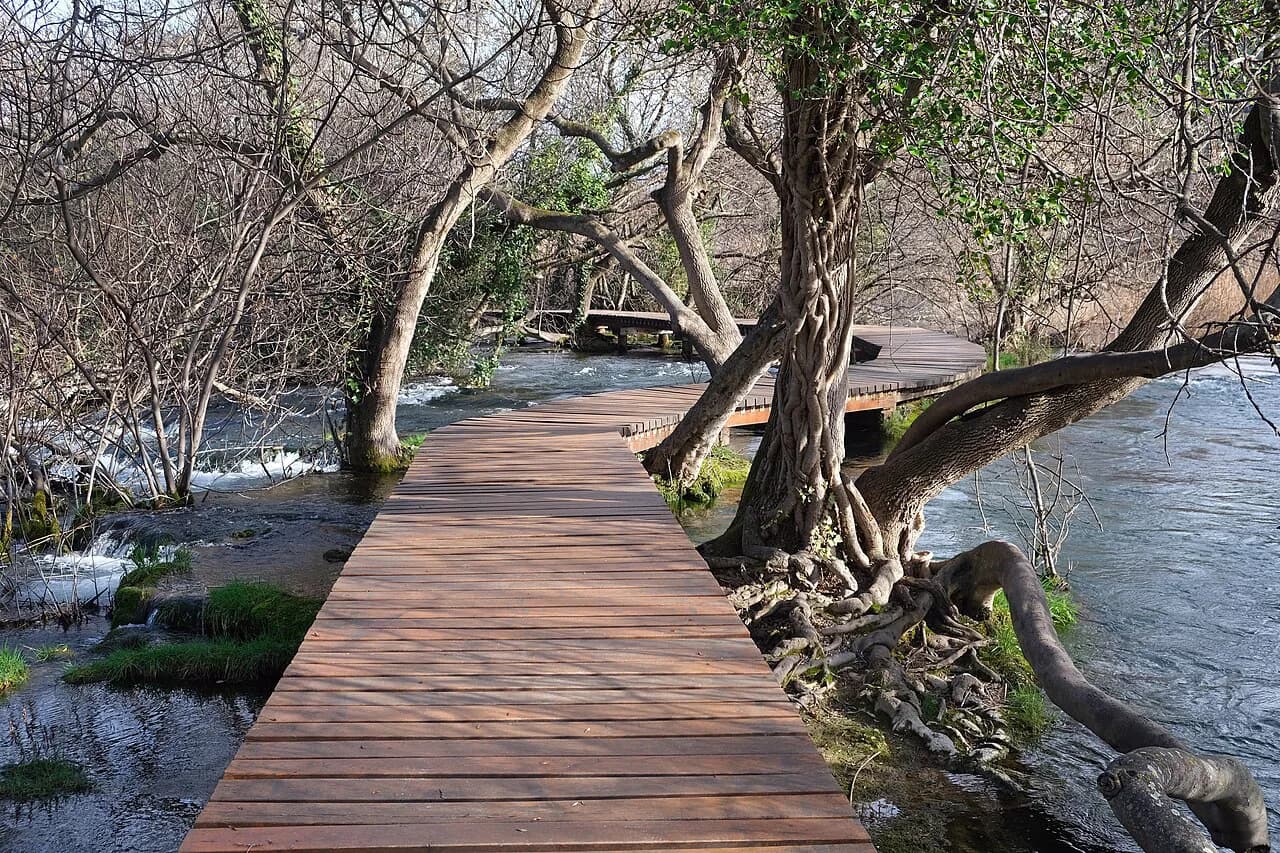
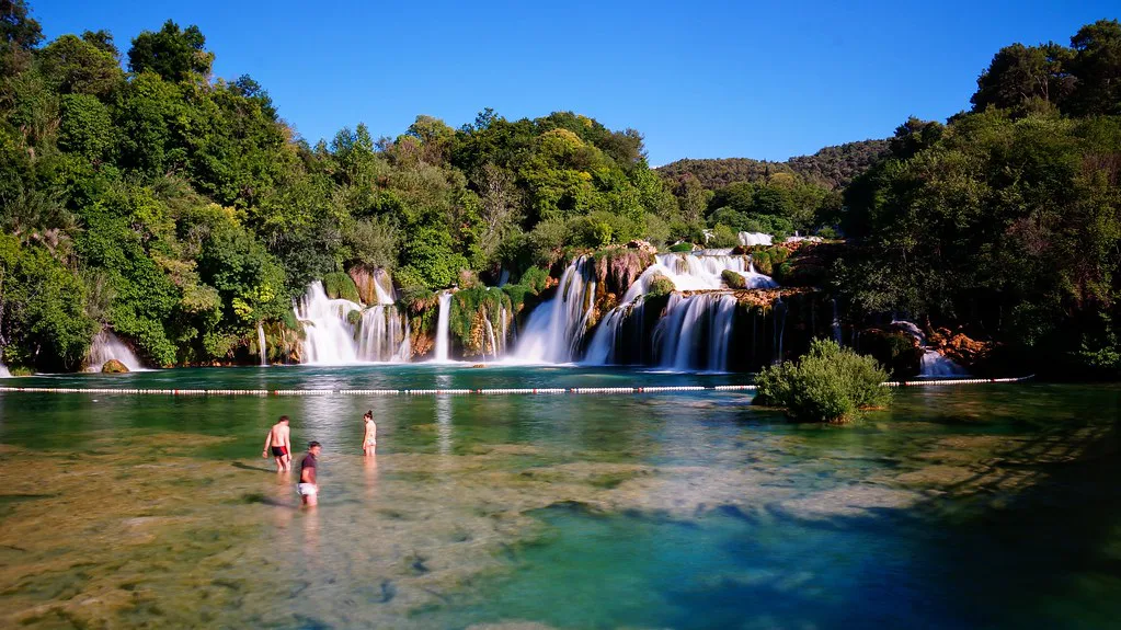
Skradinski buk is the waterfall cluster the park is known for, and its own map shows the area around the falls. It is a place to walk rather than a single viewpoint, so you can spend time on the paths and viewpoints by the water. Budget more time here than the map suggests, because the path is busy and the falls pull you into stops.
The Skradinski buk map is a separate sheet from the whole-park map, which tells you the park authority expects you to spend your time at this one spot. It is the fall the Skradin boat serves, so boat arrivals and Lozovac drivers converge on the same paths. If crowds bother you, walk the quieter side first and cross back later.
The Krka waterfalls overview puts Skradinski buk alongside the park's other falls, which helps you judge how much of the park a single day can cover. My pick is to treat Skradinski buk as the day's anchor and add Roški slap only if you have a car and an early start.
Roški slap and the mills, and how far it sits from Skradinski buk
Roški slap has its own map and brochure, published separately from the Skradinski buk sheet. The falls come with old flour mills nearby, so the map marks more than a viewpoint. It is not a loop you can bolt onto Skradinski buk on foot.
The Roški slap page covers what there is to see at this waterfall, including the mill buildings that give the area its character. If you are driving, it can be a second stop on the same day as Skradinski buk, but check the distances on the whole-park map before committing.
Boat routes on the map
The park authority's visitor menu lists boat excursions on the river, of which the Skradin to Skradinski buk crossing is the one most visitors use, letting you approach the falls from the water instead of the Lozovac car park. Both are river trips, so they follow the water rather than the road, and neither replaces a walking route once you land.
The Skradin crossing is the one to plan around if you are staying in the town or coming from the coast. Because it is a river boat rather than a road transfer, you leave the car in Skradin and arrive at the falls without hunting for a space at Lozovac. The trade-off is that you are tied to the boat's schedule for the return.
Park entrances and viewpoints across the ten gates
Ten entrances are marked across the park, and the map also carries viewpoints. Not all viewpoints are at the falls; some sit above the river and give you the wider gorge view the waterfall paths do not. Reading the entrance and viewpoint information together is how you avoid driving to the wrong side of the park.
For the falls themselves, the Skradinski buk page describes the paths and viewpoints around the water. The park map marks the entrances that connect to those paths, so you can see which gate puts you closest to the loop.
Hiking and cycling layers
The map carries 47 km of hiking trails and 388 km of bike routes, far more than a day visitor will use. The Krka Bike catalogue is published alongside the maps and covers the cycling network, while the walking trails are marked on the whole-park sheet. Pick the trails that start at your chosen gate rather than trying to cover the network.
Hiking platforms map trails in the park, so you can check gradients and distances before you arrive. Use them as a cross-check, not as a substitute for the park authority's own hiking and cycling maps. If you are hiking rather than driving, trail lengths decide your day.
Downloading the official park map before you travel
The park authority publishes the whole-park map, the Skradinski buk map and the Roški slap brochure as PDFs, along with the Burnum brochure and Krka Bike catalogue. Download them to your phone before you leave so you are not hunting for a map at the gate. The Skradinski buk sheet is the one to keep open while you walk the falls loop.
The park authority also publishes a price list and a working-hours page, and those are where ticket prices and opening times come from. Check them for the season you are travelling rather than an old printout. The Krka National Park tickets page explains how the pricing works, and the park authority's own price list is where to confirm the figures.
Reading the map with crowds and the bura in mind
The map does not show crowds, but the shape of the Skradinski buk loop does: one side fills first when boat arrivals land, so walking the quieter side first buys you space. It is not a rule, just a way of choosing which loop to walk.
If swimming is part of your plan, check the rules before you build the day around it; the Krka National Park swimming guide sets out where it is and is not allowed. The map shows you the water but not whether you can get in.
Which gate should you choose?
Choose Lozovac if you are driving and want to reach Skradinski buk by car. Choose Skradin if you would rather leave the car and cross the Krka River by boat, accepting that the return trip ties you to a schedule. For Roški slap, check the whole-park map first: it is a separate stop, not a loop off the Skradinski buk path.
Download the PDFs before you travel, confirm ticket prices and opening times on the park authority's own pages, and keep the Skradinski buk map on your phone for the day itself.
Explore more Krka National Park guides
Frequently Asked Questions
How long does it take to see Krka National Park?
Most visitors give Skradinski buk half a day or more, because the paths around the falls reward a slow walk rather than a quick photo stop. Adding Roški slap means a drive between the two, so it works best as a full day with a car. The park's 47 km of hiking trails and 109 km² area make clear that seeing all of it is a multi-day project.
How do I get from Šibenik to Krka National Park?
Šibenik is the nearest city and the park authority is based there, so it is the natural starting point for the area. Drivers typically head for Lozovac, while the riverside approach goes through Skradin and the boat crossing. Check the whole-park map for the gate that matches your route before you set off.
Where is Krka National Park?
The park follows the Krka River inland from the Dalmatian coast, near Šibenik in southern Croatia. It is not a coastal strip: the map shows ten entrances across the park. That layout is why choosing the right gate matters more than choosing the right day.
Sources
Notes from the Croatian coast
Optional updates when our guides change.
You might also like
Continue reading
More guides you'll find useful