Korčula Island Map: Towns, Ferry Ports and How to Read It
A Korčula island map guide to the main towns, the ferry and catamaran ports at Vela Luka and Korčula town, the Pelješac channel and the island's shape.
On this page
A Korčula island map shows one long, narrow island lying parallel to the Pelješac peninsula, separated from it by the narrow Korčula channel. It runs roughly 47 km from east to west and only 5 to 8 km across, which is why Korčula town in the east and Vela Luka in the west feel much further apart than the outline suggests.
This guide reads the map the way you need it: which towns sit where, which port your ferry or catamaran uses, how the northern and southern coasts differ, and how to judge driving distances on an island this shape.
What the Korčula island map shows at a glance
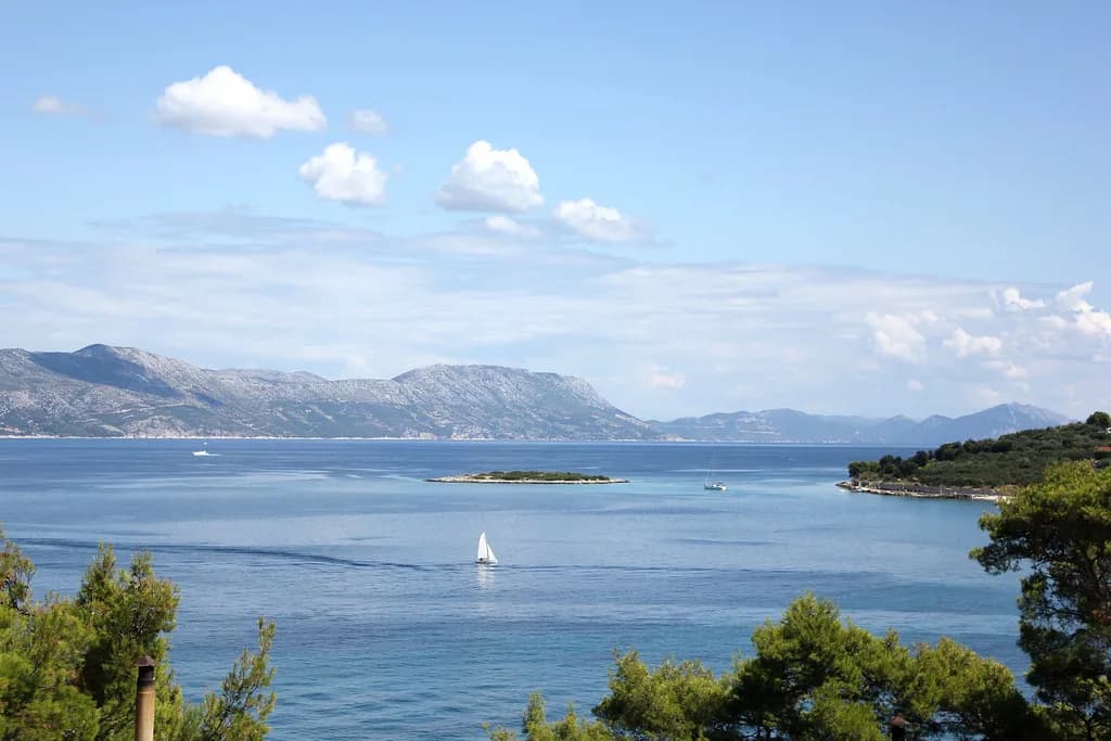
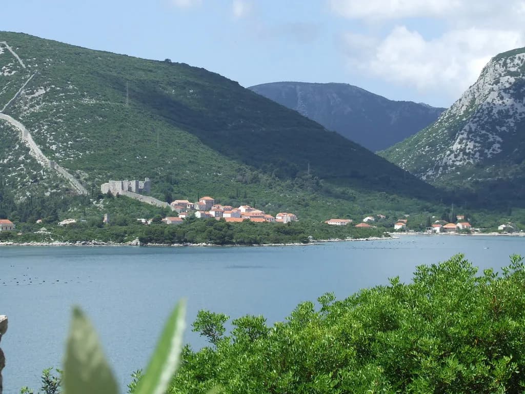
On a Dalmatian-wide map, Korčula sits off the mainland coast with the Pelješac peninsula alongside it. The channel between island and peninsula is narrow enough to read as a seam on a small-scale map, and it tells you which side of the island you are looking at. Zoom in and the asymmetry becomes clear: the northern coast is low and easy to reach, with natural harbours sheltered from the south-east wind, while the southern shore is far more indented and often steep, with cliffs rising up to 30 m above the sea in places.
This guide reads the island against the main guide to Korčula and keeps the map's key labels in view: Korčula town on the east coast, the Korčula channel separating the island from the Pelješac peninsula, and Vela Luka on the westernmost part of the island. Get those fixed and the rest of the layout falls into place. For a comparable cartographic study of one Dalmatian island, see the Brač island map guide on the same site, and for the northern harbour village of Račišće see the dedicated guide.
Keep three labels in your head: Korčula town at the eastern tip, Vela Luka at the western end, and Blato in the middle. Almost every practical decision about where to sleep or drive follows from those three points.
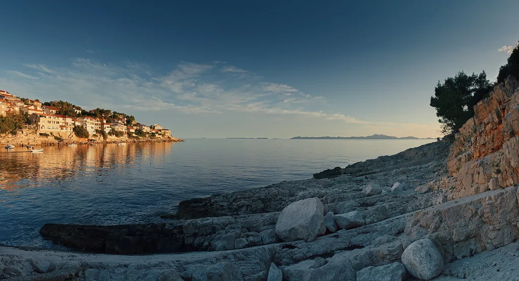
Island shape and size: roughly 47 km by 5–8 km
The dimensions matter more than they look. A 47 km length with a 5 to 8 km width means a drive from Korčula town to Vela Luka crosses most of the island on a single main road, and any detour to a southern cove adds distance on slow, twisting lanes.
Because the island is so narrow, nowhere is far from the sea, but the two coasts behave differently. Northern settlements sit in protected ports, while southern bays such as those around Zavalatica and Pupnatska Luka are reached by descending roads and are sheltered from the north wind rather than the south-east.
Pick the end of the island that matches your arrival port, then count how many times you would cross the middle. Two crossings in a short break is comfortable; four is a day spent in the car.
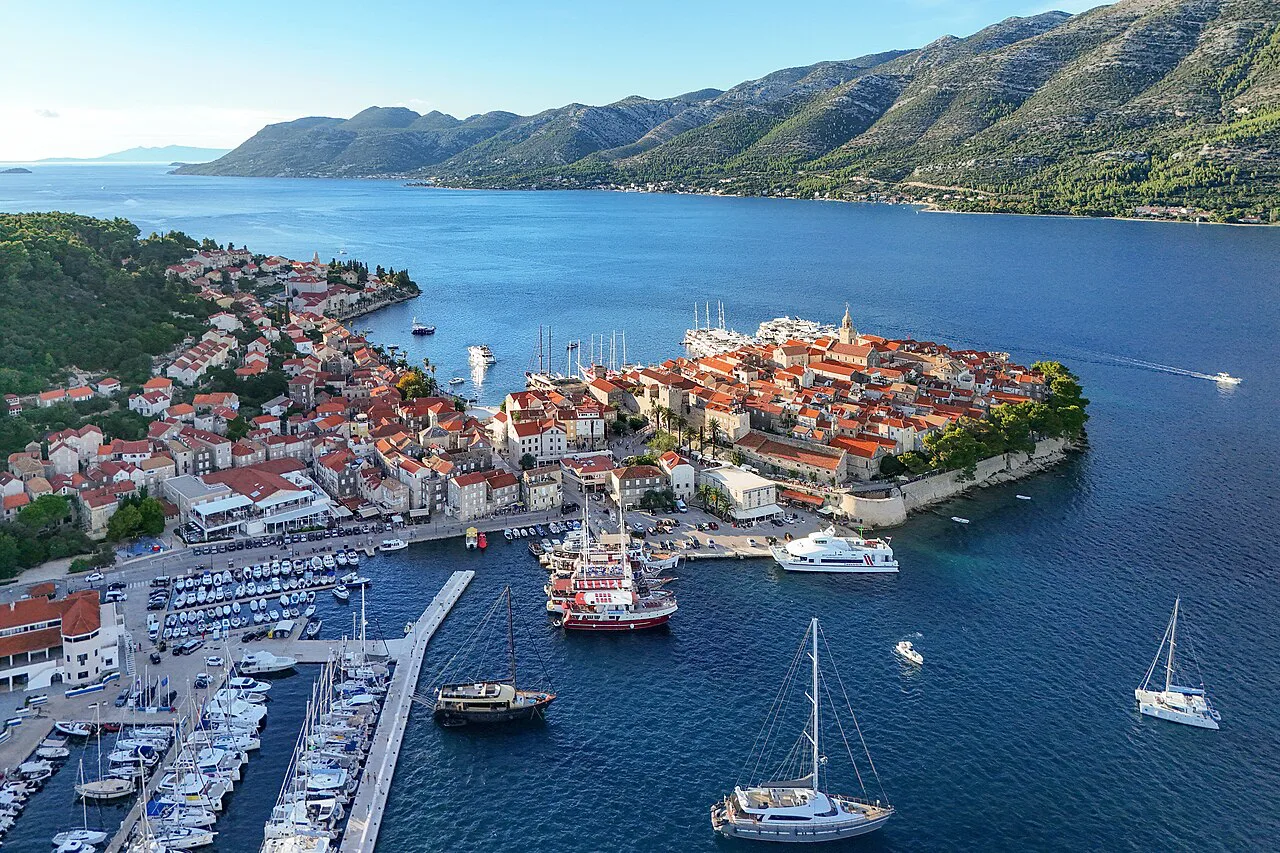
The main settlements from east to west
Read the island from east to west and the order is Korčula town, then Lumbarda on the eastern side just beyond it, then the long central run inland to Blato, and finally Vela Luka on the far west. That sequence is the single most useful fact on the map, because it tells you which port your ferry will actually serve.
Blato is the oldest settlement on the island and sits inland rather than on the coast, which makes it the natural midpoint on any cross-island drive. Its main road is lined by a kilometre-long avenue of lime trees, known as Lime Alley and counted among the longest avenues of its kind in Europe.
Vela Luka is the largest and best-protected bay on the island, occupying the westernmost part. Smaller northern ports including Banja, Račišće, Vrbovica, Babina and Prigradica string along the sheltered coast as anchorages and hamlets rather than ferry terminals, and catamarans call at Prigradica in the summer season only. Jadrolinija's timetable, rather than the label on a map, shows whether a sailing actually calls there.
Korčula town on the map: the walled old town on the east coast
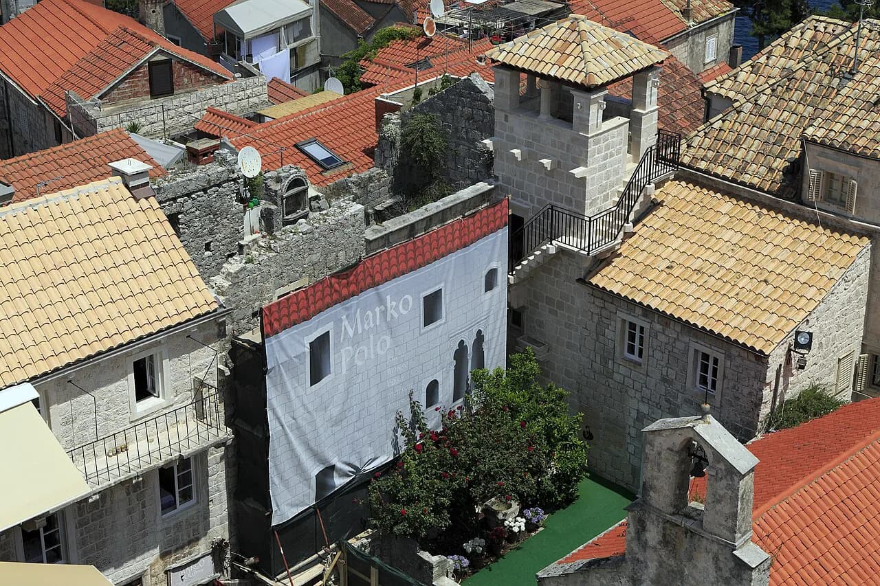
Korčula town occupies a small peninsula on the east coast of the island, with the walled old town packed into it. On a map it looks tiny relative to the island, which is the point: everything in the old town is walkable within minutes.
The town's port lies immediately beside the walls, so foot passengers arriving by catamaran step off essentially into the old town. That proximity is the strongest argument for choosing the eastern end of the island if you plan to spend your time in the old town, but it also means the streets fill quickly when boats arrive.
Lumbarda sits a short distance south-east of the town on the same tip of the island, close enough that the two appear linked on any map. If you want the walled town for evenings and a quieter base a few kilometres away, the map shows why that combination works.
The ports explained: which arrivals use Korčula town and which use Vela Luka
This is where most map-reading goes wrong. Jadrolinija runs catamarans to the island, with line 9608 serving Korčula town and line 9604 serving Vela Luka and Ubli on Lastovo via Hvar. The two lines land at opposite ends of a 47 km island, so your choice of sailing decides your transfer.
Krilo adds high-season foot-passenger connections, including a long line linking Split, Milna on Brač, Hvar, Korčula, Mljet and Dubrovnik, which is useful if you are stitching islands together rather than returning to Split. Note which port your Krilo sailing names before booking onward transport.
If you arrive at Vela Luka and your accommodation is in Korčula town, you face a cross-island transfer of the island's full length. No amount of local knowledge fixes a ticket to the wrong end of the island.
Reading distances and driving times on an island this shape
Do not convert the map's 47 km length into a driving time with mainland assumptions. The main road runs the length of a narrow island with villages, bends and occasional slow traffic, and any branch to the southern coast adds a descent and climb that a straight-line distance hides.
A practical method: count the named places you pass between start and finish, since each one implies a speed limit and a possible stop. Korčula town to Blato crosses more settlements than Blato to Vela Luka, so the first leg usually takes longer than its share of the distance.
Ferry arrivals compress everything. If you land at Vela Luka in the afternoon and drive east, you will be doing the island's full length after a crossing, so decide in advance whether to stay west for the first night or commit to the drive.
Using the map to choose a base between east and west
The map answers the base question better than any list. Choose the east around Korčula town if your priority is the walled old town and its lanes, and accept that day trips west cost you a cross-island drive. Choose the west around Vela Luka if you want the island's largest, best-protected bay as your anchor.
A middle position near Blato or along the northern coast splits the difference: nothing is very far, but nothing is on your doorstep either. Note your arrival port, then set it against your departure, so a trip that arrives at one end and leaves from the other is deliberate rather than accidental.
Paper, PDF and offline map options
For an island of this shape, an offline map is more useful than a paper one because the southern lanes and village names are where you will need detail. Download an island-wide map before you travel and keep a paper backup for the old town lanes, where a phone screen in bright sun is hard work.
Online mapping is fine for orientation and places the island off the Pelješac peninsula, but any annotation of ferry routes or seasonal stops on a cached map can be out of date. Check current sailing times with Jadrolinija or Krilo before you travel.
Which port should you book into?
Start with the port, not the town. If your sailing lands at Korčula town, base yourself in the east and treat the west as a day out; if it lands at Vela Luka, plan the opposite and use Blato as your midpoint. Getting this right saves you the one mistake the island's 47 km length makes expensive.
Then read the coast: northern ports for shelter and easy access, the steep southern shore for coves that cost you a descent. Carry an offline map and let the shape of the island set your itinerary.
Explore more Korčula guides
Frequently Asked Questions
Is Korčula closer to Dubrovnik or Split?
Korčula lies off the Dalmatian coast with the Pelješac peninsula running alongside it and the Korčula channel in between. Dubrovnik sits to the south-east and Split to the north-west, which is why Krilo's long high-season line links Split, Brač, Hvar, Korčula, Mljet and Dubrovnik in one run. Check the current timetable to see which crossing suits your route.
Which ports do the ferries and catamarans use?
Arrivals are split between the two ends of the island. Jadrolinija runs catamarans for foot passengers: line 9608 serves Korčula town, while line 9604 runs Split–Hvar–Vela Luka–Ubli (Lastovo). Krilo adds high-season foot-passenger connections, including a long Split–Milna–Hvar–Korčula–Mljet–Dubrovnik line. Check which port your sailing names before booking onward transport.
Sources
Notes from the Croatian coast
Optional updates when our guides change.
You might also like
Continue reading
More guides you'll find useful