Poreč Map: Old Town, Sights and Harbour Layout
A Poreč map for visitors: how the old town peninsula, the Euphrasian Basilica, the harbour and the island of St Nikola fit together for a day on foot.
On this page
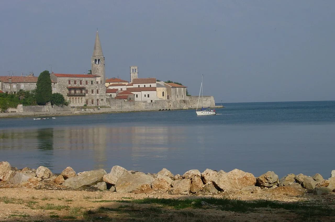
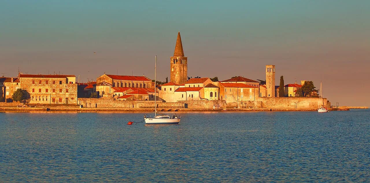
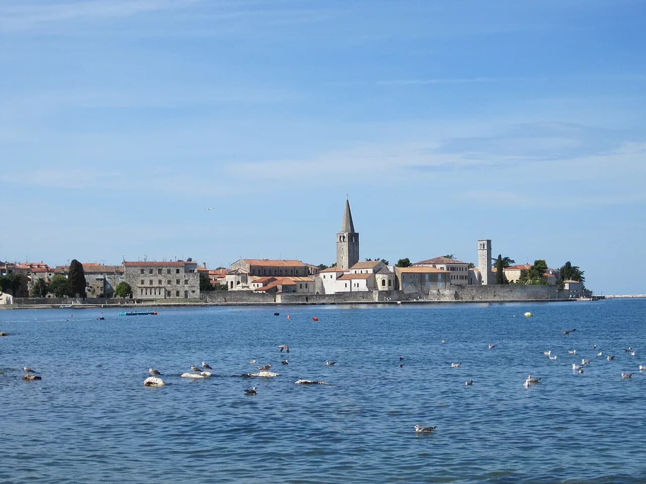
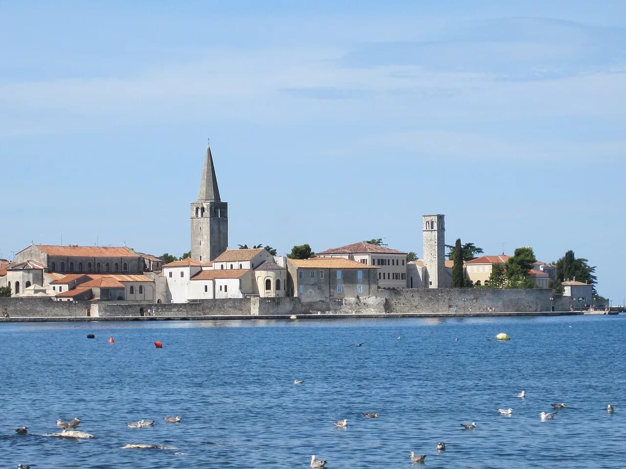
A Poreč map is mostly one shape: a tight old town on a peninsula, with the harbour along its edge and the pine-covered island of St Nikola lying just offshore as a natural shield for the port. Everything worth seeing in the centre sits inside that peninsula, so you can plan a morning or an afternoon on foot and leave the wider Istrian coast for another day.
This guide arranges the town the way a map does — the old town core, the seafront and pier, the island opposite — and explains which clusters belong together so you don't over-schedule. For the full list of sights and boat options, see our guide to the things to do in Poreč.
What the Poreč map looks like at a glance
Think of Poreč as a rounded finger of land pointing into the Adriatic, with the historic centre filling the tip and the newer shore areas — where most accommodation sits — running north and south of it. The port sits at the water's edge of the peninsula, so wherever you walk in the centre the water is never far away.
That geometry is why a Poreč map is more useful than it first appears: it tells you that the basilica, the squares and the towers are all within the same few streets, while the beaches and hotels lie outside the old town along the coast. If you are choosing between a hotel map and a town map, take the town one and treat the suburbs as a shoreline.
The town also rewards a slow look at its street plan rather than a pin-by-pin checklist. Poreč is described as an old town that is practically a museum under the stars, with the Roman layout of its streets and squares still legible beneath the medieval towers and later palaces.
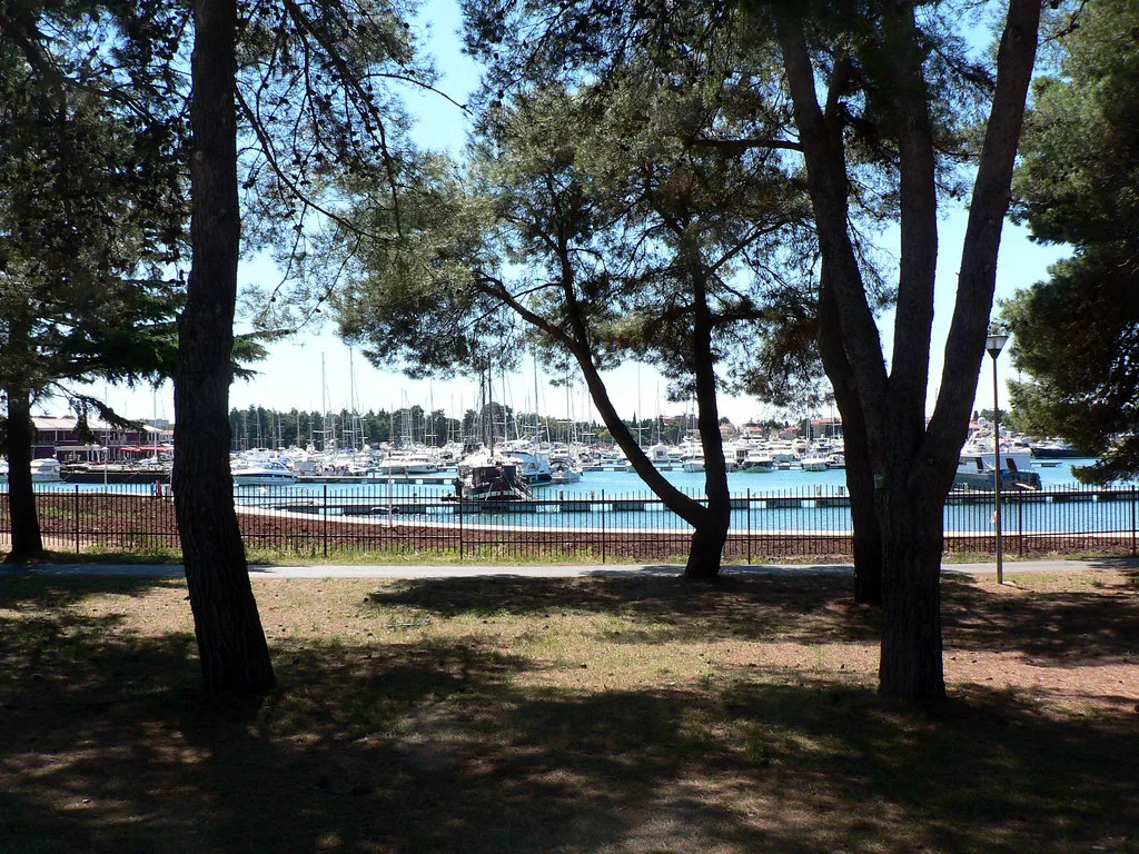
The old town core: Roman streets and the Euphrasian Basilica
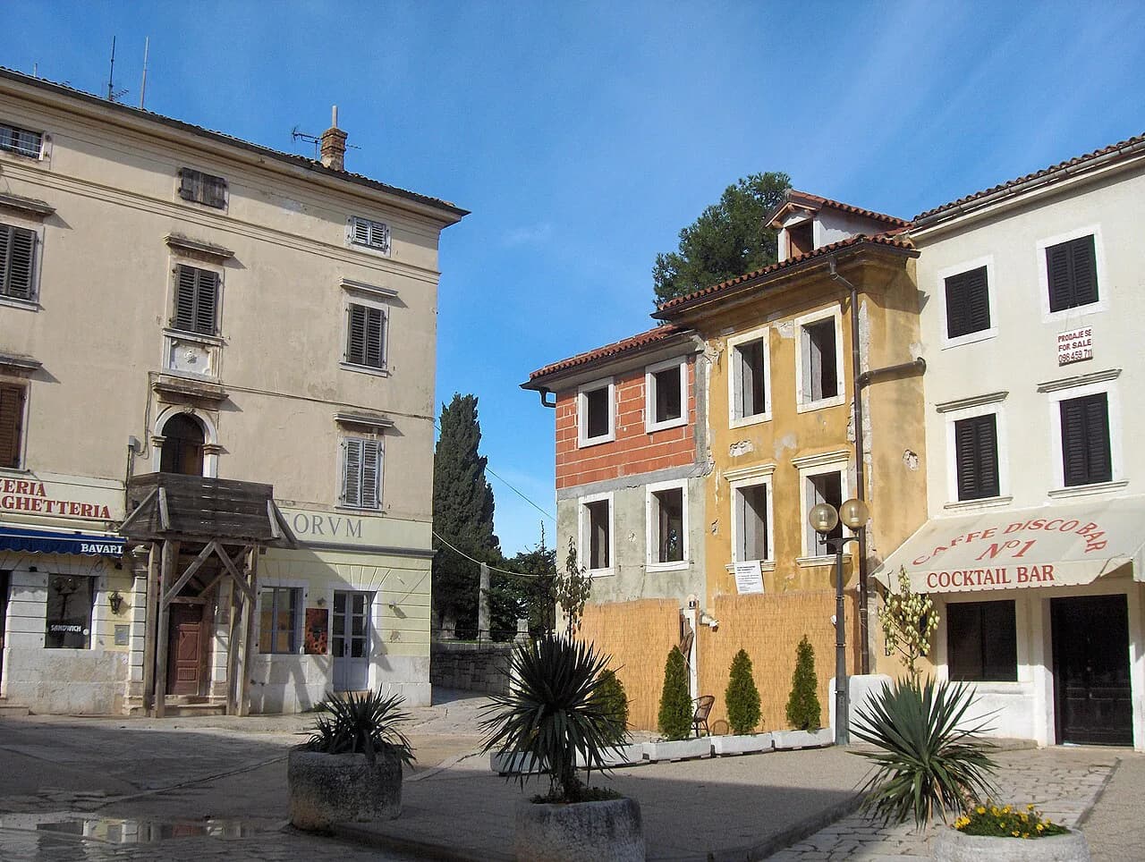
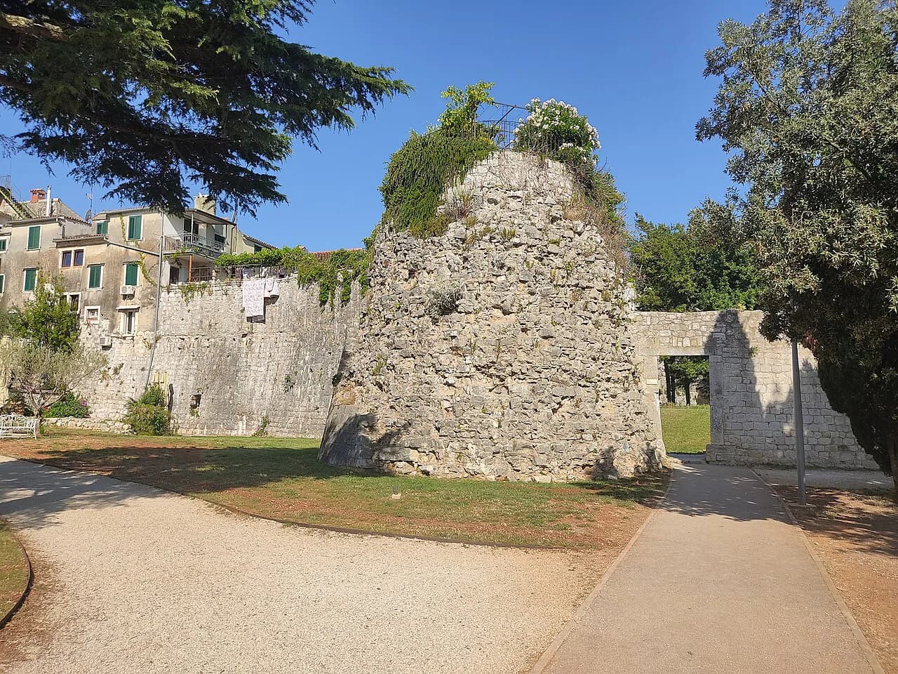
Inside the peninsula, the street grid is the Roman one, and the surviving fragments — a Roman temple, medieval towers, Romanesque houses, Gothic and Baroque palaces — sit alongside each other rather than in separate zones. That makes a loop through the centre short and dense: you are never more than a few minutes from the next thing worth stopping for.
The Euphrasian Basilica complex is the anchor of any map of the centre, and it holds UNESCO World Heritage status. Classical concerts are held in the basilica during the summer, so an evening visit can double as a performance if the programme suits you — check the basilica's posted concert programme for what is on.
If you want to trace the Roman layer specifically, our guide to Roman Poreč picks out what survives and where to find it; it slots naturally into the same walk as the basilica.
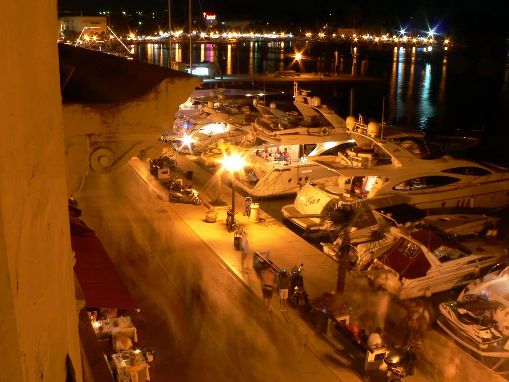
Where the harbour, pier and promenade sit
The waterfront runs along the edge of the peninsula, with the promenade and pier acting as the town's evening living room: in summer it fills with people after dark, and in the early morning, before the heat, it belongs to cyclists and joggers. Plan your walk around that rhythm rather than against it.
The shore is also the link between the two halves of the resort. Because accommodation is spread to the north and south of the centre, a walk along the water is the straightforward way to move between them, and a small panoramic train covers the same ground if the distance is unwelcome in the heat.
For a structured route rather than an ad-hoc wander, our Poreč walking tour follows the old town and its seafront in a sensible order.
St Nikola: the island on the map opposite the port
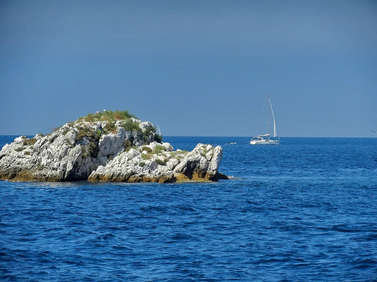
Directly opposite the town lies the island of St Nikola, the largest of the Poreč islands and the one that shelters the harbour. It is wooded with pines, has a hotel with a pool and places to buy refreshments, and serves as a popular bathing spot in season.
The island also carries a Round Tower from 1402, described as one of the oldest lighthouses in the Adriatic — the kind of detail easier to appreciate if you know it is there before you arrive. Treat St Nikola as a half-day alternative to the old town rather than an addition to it, especially in high summer.
If you would rather make the crossing under your own steam, our Poreč kayaking guide covers the practical side of getting onto the water.
Reading the map for what it leaves out
Most town maps stop at the Poreč shoreline, which flatters the centre but hides the fact that the beaches, cafés and green areas that draw people back sit outside the peninsula. Poreč is known for its green spaces, and the recreation on offer — tennis, cycling, trekking and water sports — belongs to those outer areas, not the old town.
Use a town map to plot the centre and a road or regional map to judge the coast. Michelin's Poreč map sets the town within the Istrian road network, which is the level you need when you are deciding how far to range beyond the centre.
A mapping app such as the Apple Maps entry for Poreč is useful for the last few hundred metres on the day, when you want to confirm which lane leads to the water rather than plan the trip.
Fitting the map to a day: museums, shopping and sunset
Because the centre is compact, the museum and gallery stops slot between the basilica and the shore without eating the day. The Poreč Museum, with its lapidarium used for jazz concerts in summer, sits within the old town, and our guide to the museums in Poreč explains what to see and how long to allow.
Shopping in Poreč is a matter of the same few streets rather than a district, so it works best combined with a walk through the centre instead of a separate expedition.
For the end of the day, follow the waterfront: the promenade and the pier fill after dark in summer, and the harbour edge is the natural place to finish. Our Poreč sunset guide covers where to stand and when the light goes.
Questions the map raises before you walk
The peninsula shape answers the biggest planning question for you: you do not need transport between the basilica, the squares and the harbour, because they are all inside the old town. Budget your time on the outer shore separately — that is where the distances stretch.
Opening hours and entry charges for the basilica and the Poreč Museum change by season and are not fixed here; check them locally or on the venue's own notice before you build a day around them. The same applies to any boat across to St Nikola, where the boat company's own timetable is the one that counts.
Which half of Poreč should you plan first?
Plan the old town first: the peninsula is compact enough to walk in a morning or an afternoon, and the Euphrasian Basilica, the Roman street grid and the harbour all fall inside it. Then decide whether St Nikola is worth a separate half-day — it is a different kind of outing, not an extension of the centre.
Leave the shore and the outer districts for the remainder of your stay, and use the promenade as the connecting line between them. That way the map does the work of telling you what to combine, and you avoid crossing town twice for sights that sit side by side.
Explore more Poreč guides
Frequently Asked Questions
Is Poreč easy to walk around using just a map?
Yes. The historic centre occupies a single peninsula and its sights cluster inside it, so a town map is enough to link the basilica, the squares and the harbour on foot. The longer distances are on the shore either side of the centre, where the promenade is the natural route.
Can you walk from the old town to the island of St Nikola?
No — St Nikola lies offshore as the island sheltering Poreč harbour, so it needs a boat or a paddle. Check the crossing and timings with the operator you plan to use on the day.
Sources
Notes from the Croatian coast
Optional updates when our guides change.
You might also like
Continue reading
More guides you'll find useful