Plitvice Lakes Map: Which Entrance & Route to Choose
Use the Plitvice Lakes map to see how Entrance 1 and Entrance 2, the Upper and Lower Lakes, the Kozjak boat and the panoramic train fit together.
On this page
The most useful way to read a Plitvice Lakes map is by its two gateways: Entrance 1 at the north end of the lake chain, next to the Lower Lakes and the Great Waterfall, and Entrance 2 at the south end, above Lake Kozjak and the Upper Lakes. Routes from Entrance 1 are marked in green on the park's information panels and routes from Entrance 2 in orange, so the colour tells you which half of the park you are planning around. This guide takes the Plitvice lakes map apart section by section and matches each marked route to the hours it actually takes.
The park authority publishes a downloadable park map as a JPG, and the lake tour programme page lists each route's duration and trail length. Those two pages together do most of the planning work: one shows the layout, the other tells you what each letter means. For entry prices and booking, see Plitvice Lakes Tickets.
What the Plitvice Lakes map shows
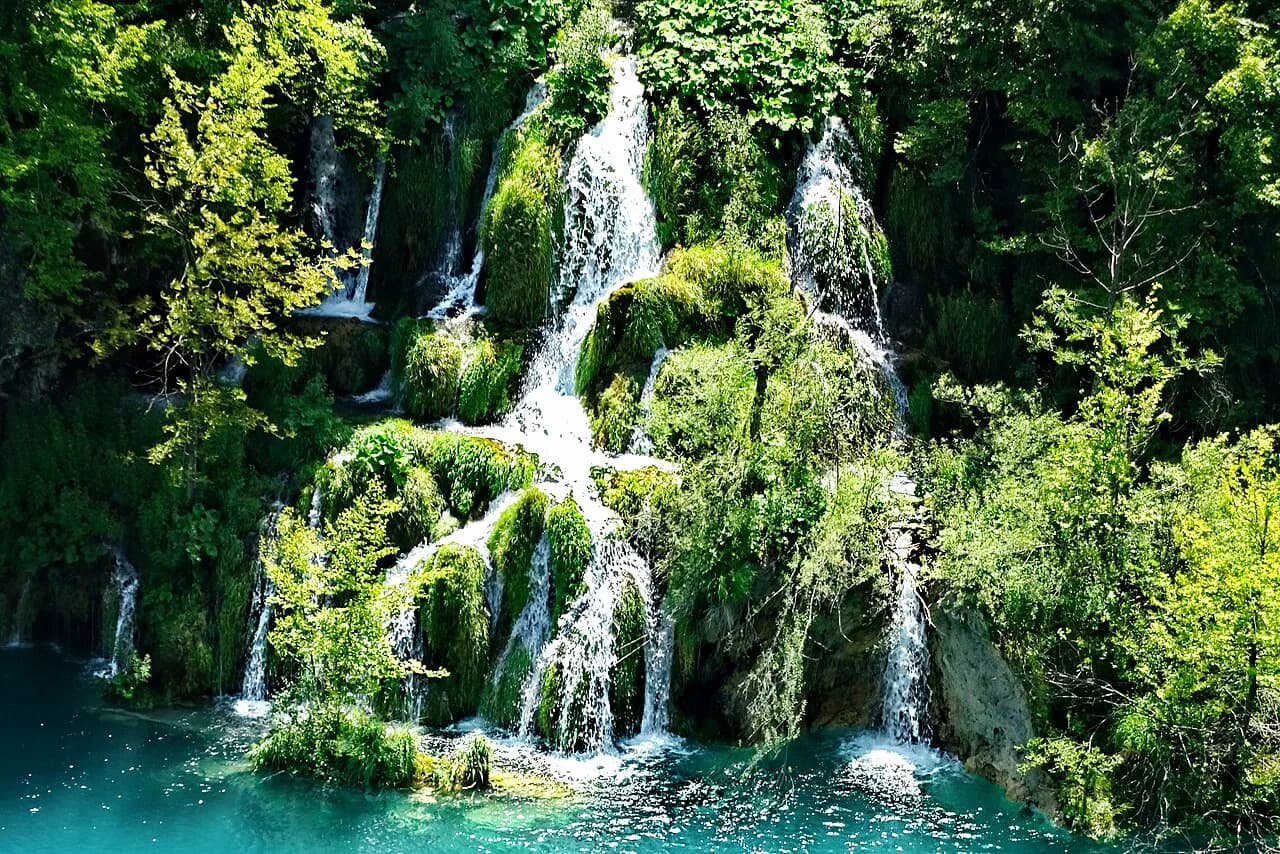
Strip away the waterfall names and the map is a chain of lakes running roughly north to south through a limestone canyon, with two entrances feeding into it. The Lower Lakes crowd together at the northern end around the Great Waterfall and the canyon lakes Novakovića brod, Kaluđerovac, Gavanovac and Milanovac. Lake Kozjak, the largest lake in the park, sits in the middle, and above it the Upper Lakes spread out towards Lake Prošćansko at the southern end.
Two transport links stitch the halves together: an electric boat across Lake Kozjak and a panoramic vehicle that runs on the eastern rim of the canyon. You ride both by presenting a valid park entrance ticket, so you can plan a one-way walk with a boat or vehicle return rather than retracing your steps. That shapes almost every route on the map.
Entrance 1 and Entrance 2: which one is which
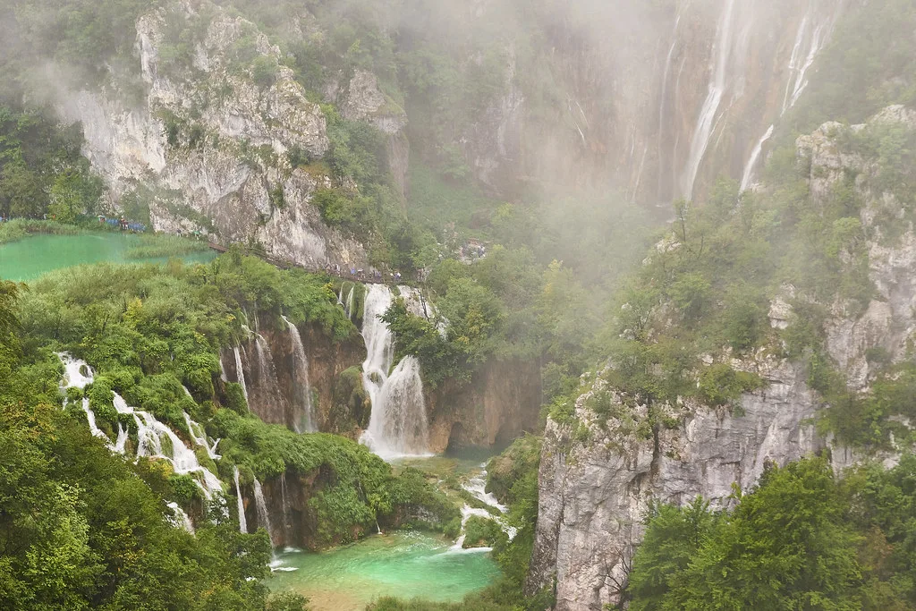
Entrance 1 is the north entrance and the one closest to the Great Waterfall and the Lower Lakes, so it suits anyone whose priority is the big falls and the dramatic canyon. Entrance 2 is the south entrance and drops you near Lake Kozjak and the Upper Lakes, which are quieter, wooded and gentler underfoot. Where you enter decides which lettered route you can follow without crossing the whole park first.
Plot your accommodation against the map before choosing an entrance: the closer gateway saves you a long walk before you have seen anything. The route letters divide cleanly between the two entrances, so pick the gateway first and the programme second rather than the other way round.
Lower Lakes: the Great Waterfall, Sastavci and the canyon lakes
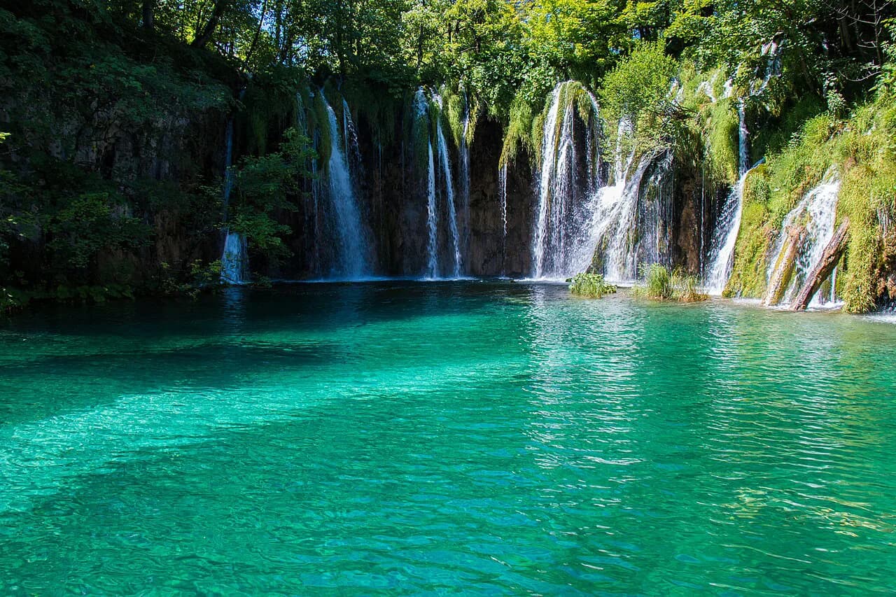
The Lower Lakes section is the tightest and most theatrical part of the map. From Entrance 1 a path runs upstream along Novakovića brod, Kaluđerovac, Gavanovac and Milanovac, then climbs the eastern side of the canyon for views back over the water. The Great Waterfall, the tallest in Croatia, anchors the northern end, with the Sastavci falls nearby.
Route A is the pure Lower Lakes circuit: 2 to 3 hours and 3,500 metres, starting and finishing at Entrance 1. If you have only a half day and want the Great Waterfall and the canyon without a boat crossing, this is the programme to mark on the map.
Upper Lakes: Lake Prošćansko and the Prštavac falls
On the map the Upper Lakes fan out south of Lake Kozjak towards Lake Prošćansko, with wooded shores and the Great and Small Prštavci falls among the highlights. Route E, from Entrance 2, is the shortest way to see this plateau: 2 to 3 hours over 5,100 metres, with a short boat ride across Lake Kozjak, a walk upstream to Prošćansko and a panoramic vehicle back.
Visitors who walk only the Lower Lakes miss this half entirely, which is why the map is worth a minute of study before you commit. The Upper Lakes reward travellers who prefer distance and calm to crowds at the railings.
Lake Kozjak, the electric boat and the panoramic vehicle
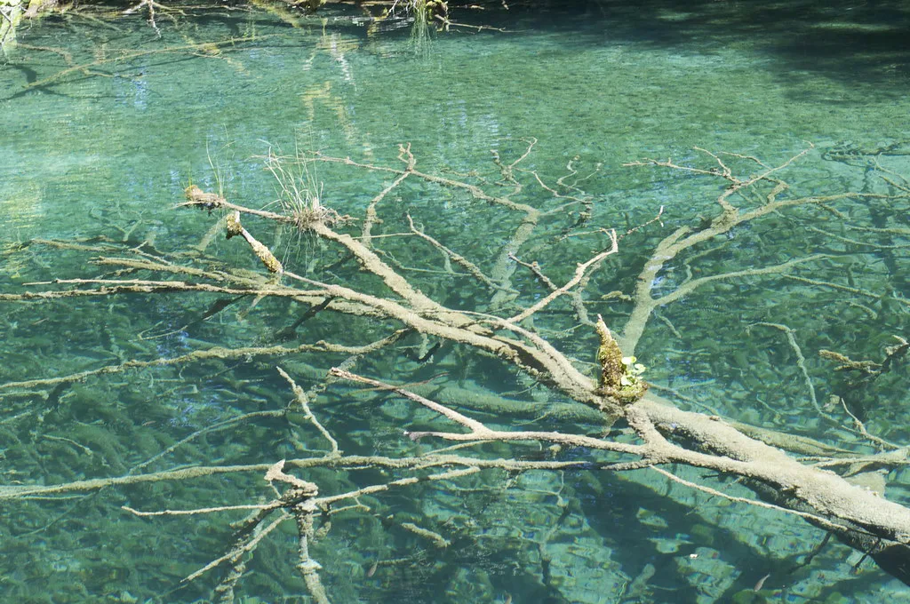
Lake Kozjak sits across the middle of the map like a hinge, and the electric boat across it shortens the crossing considerably compared with walking the shore. The panoramic vehicle covers the canyon rim on land, and both are ridden by showing your valid park entrance ticket. Together they let you build a linear route through the park instead of an out-and-back.
Route B is the classic use of both: 3 to 4 hours and 4,000 metres from Entrance 1, combining the Lower Lakes canyon, a boat ride over Kozjak, a panoramic vehicle and a return along the top of the eastern canyon rim. If you want the Great Waterfall, the boat crossing and a viewpoint walk in one morning, this is the map line to trace.
Route programmes at Entrance 1: A, B and C
Route C is the full northern day: 4 to 5 hours and 8,000 metres, circling from Entrance 1 through both the Lower and Upper Lakes with walks and boat rides, returning mostly by panoramic vehicle. It adds the Prštavac falls and the upper plateau to the Great Waterfall and canyon, so it pays off if you have a full day rather than an afternoon.
Choose A when time is short, B when you want a boat ride and one solid viewpoint climb, and C when you want to see both halves in one visit. Each route's published duration and trail length sit on the park's lake tour programme page, so match the number against your daylight.
Route programmes at Entrance 2: E and F
Route F is the southern mirror of B: 3 to 4 hours and 4,600 metres from Entrance 2, with a short walk, a boat across Lake Kozjak, the Lower Lakes canyon down to the Great Waterfall, and a panoramic vehicle back. The steep serpentine from the Great Waterfall up to the vehicle stop on the eastern rim is the real effort of the day, so treat it as a decision rather than a footnote if anyone in your group struggles on stairs.
Route E stays up on the Upper Lakes plateau and suits a gentler half day, while F gives you the falls and the canyon if you have more energy. If the climb above the Great Waterfall sounds like too much, pick E and enjoy the Prštavci falls without the serpentine.
Long routes C, H, K1 and K2
Route H, from Entrance 2, is the longest of the standard circuits at 4 to 6 hours and 8,900 metres, combining the Upper Lakes walk, the Kozjak boat and the Lower Lakes canyon as far as the Great Waterfall before a panoramic vehicle return. It gives you the whole lake zone in one programme, and it suits walkers who want a full day on foot rather than a sampler.
K1 and K2 are the serious walking programmes: 6 to 8 hours at 16,500 metres from Entrance 1 and 17,500 metres from Entrance 2. Both take in the Great Waterfall, the Lower Lakes canyon and the Prštavci falls, and K1 adds the recently opened Tomićevo Pogledalo viewpoint, which short-route visitors never reach. Choose one only if you are comfortable walking at pace for most of a day and know your starting entrance well.
Reading the map alongside a paper or downloaded copy
The official park map is available as a JPG download from the park authority's site, which is the version to save to your phone before you travel. An independent guide site also gathers maps of the park, including visitor maps and historical versions, useful if you want an overview before you arrive. Save a copy offline before setting out.
If you are driving from the north or staying at Slunj, Rastoke: Croatia's Watermill Village Where the Slunjčica Meets the Korana makes a natural stop on the road into the park. It breaks up the journey and gives you somewhere to walk before or after the lakes.
Which route should you mark on the map?
For most first visits, mark B from Entrance 1 on the map: it fits the Great Waterfall, the Lower Lakes canyon and the Kozjak boat into 3 to 4 hours. If you want both halves without rushing, go up to C or H. If the steep ground above the Great Waterfall is a worry, start at Entrance 2 and follow E or A-length alternatives instead. Plan around the Plitvice Lakes National Park layout before you commit.
Write your chosen route letter and trail length on a copy of the map before you travel, so the decision is already made when you reach the gate. The park authority publishes current opening hours and the price list on its own site.
Frequently Asked Questions
How many hours do I need at Plitvice Lakes?
The park authority's shortest programmes take 2 to 3 hours, including route A at 3,500 metres from Entrance 1 and route E at 5,100 metres from Entrance 2. A half day suits the Lower Lakes or Upper Lakes on their own, while routes B and F need 3 to 4 hours and the long walking programmes K1 and K2 take 6 to 8 hours. Match the published trail length to your walking pace before choosing.
Which entrance should I choose for the map: Entrance 1 or Entrance 2?
Choose Entrance 1 if your priority is the Great Waterfall and the Lower Lakes canyon, since the green-marked routes A, B and C start there. Choose Entrance 2 for the Upper Lakes, Lake Prošćansko and the Prštavac falls, where the orange-marked routes E, F and H begin. Both connect through the Lake Kozjak boat and the panoramic vehicle.
What does the panoramic vehicle do in Plitvice Lakes?
The panoramic vehicle links sections of the park along the eastern side of the canyon, and riders show a valid park entrance ticket. It appears in the published programme descriptions for B, C, E, F, H, K1 and K2 as a return or connecting leg. Which stops operate on your day depends on the season, so confirm on arrival.
Can I see Tomićevo Pogledalo on a short route?
No, the viewpoint appears only in the description of the K1 programme, the 6 to 8 hour walk of 16,500 metres from Entrance 1. Short routes such as A, B, E and F do not include it. If the viewpoint matters to you, plan on K1 and check that you are comfortable with the distance.
Where can I get a printable Plitvice Lakes map?
The park authority provides a JPG map for download from its official site, which you can print for a day pack. Local tourist information centres may also stock maps of the area, and independent guide sites collect additional and historical maps if you want an overview before travelling. Save a copy offline before you set out.
Sources
Notes from the Croatian coast
Optional updates when our guides change.
You might also like
Continue reading
More guides you'll find useful