Hvar Map: How the Island and Hvar Town Are Laid Out
A Hvar map guide to how the island and Hvar Town fit together, from the harbour and waterfront to the bus station and the ferry links to Split and Brač.
On this page
You need two maps for Hvar, not one: an island map for planning how far apart Hvar Town, Stari Grad and Jelsa really are, and a town map for the short walk between the harbour and the streets behind the waterfront. This guide sets out both, shows how the settlements named on tourist maps match up with an itinerary, and explains where boats, buses and mainland links land you.
The aim is orientation before you arrive, not a list of sights. Once you know which side of the island your ferry or catamaran uses and how the road network runs, the rest of the planning gets much simpler.
Where Hvar sits on a map of Croatia
Hvar is a Dalmatian island lying off the mainland coast, roughly parallel to the shore between Split and the Pelješac peninsula, with Brač to its north-west. Its defining feature on any map is shape: long and narrow, stretching east to west, which means distances along the island are far greater than its width suggests.
That shape changes how you plan. A place that looks close on a small-scale map of the Adriatic can be an hour or more away by road, because the island road runs the length of the island rather than cutting across it. Treat east–west distances as the ones that matter and plan a day around one end of the island rather than hopping between both.
The island's main places, matched to your itinerary
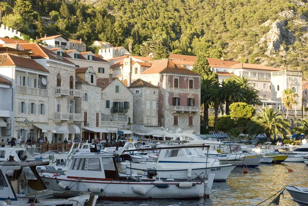
Tourist maps of Hvar plot the settlements you will actually use: Hvar Town on the western end, Stari Grad and Jelsa along the north coast, Sućuraj at the far eastern tip, and the southern bays of Sveta Nedjelja, Ivan Dolac, Zavala and Milna, with Pokrivenik on the north-east coast. Aerial photography pages for the island confirm these as the recognised resorts and bays on the island.
Use that list to group your days. The western cluster around Hvar Town and Stari Grad sits comfortably together, Jelsa works as a northern base for the middle of the island, and Sućuraj is a separate eastern excursion reached on the long road rather than a quick side trip.
Hvar Town on the map: harbour front and streets behind
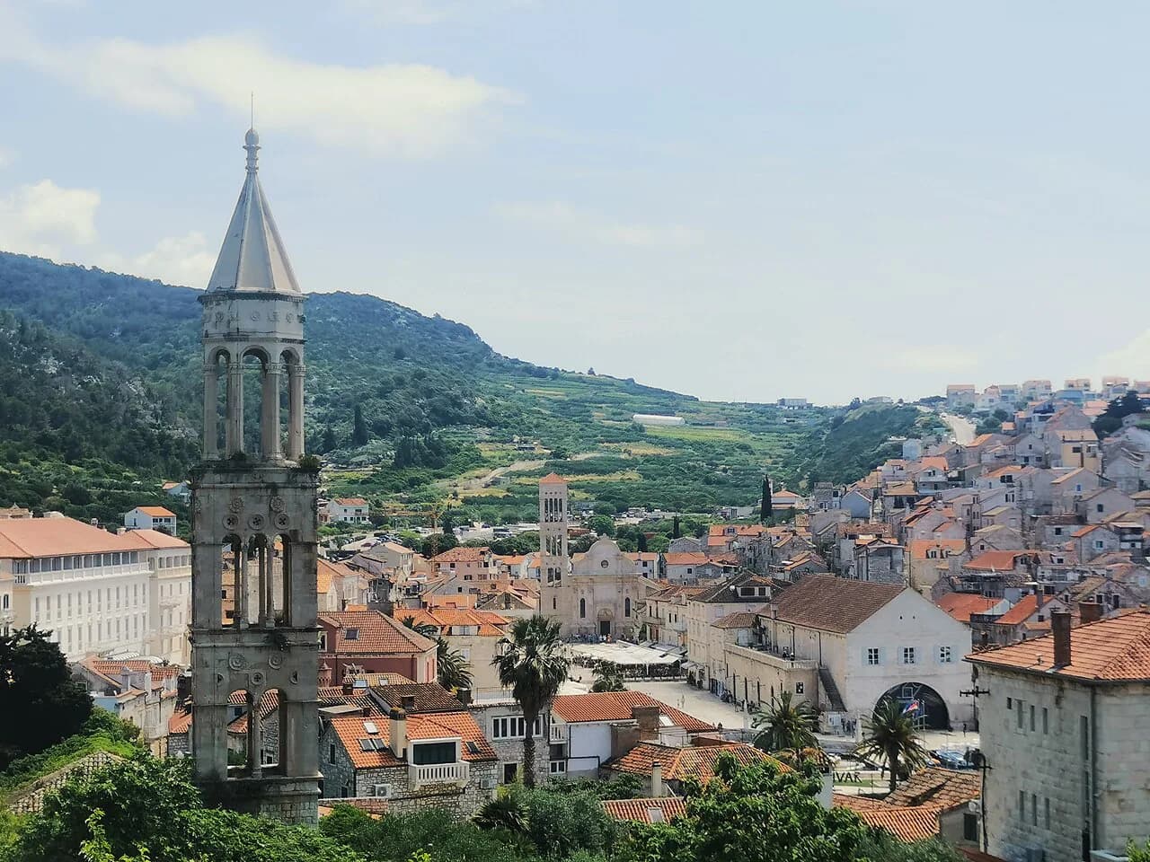
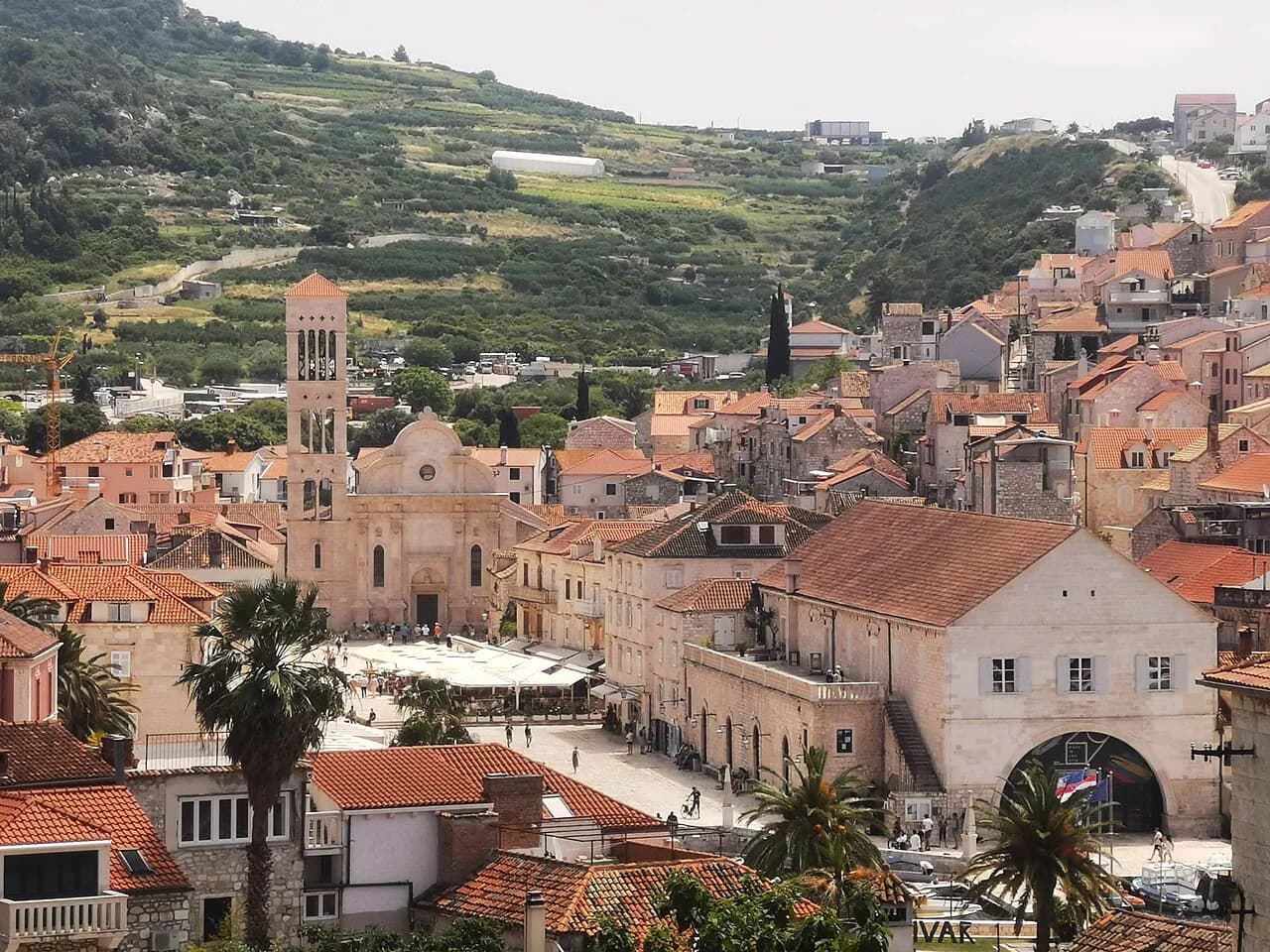
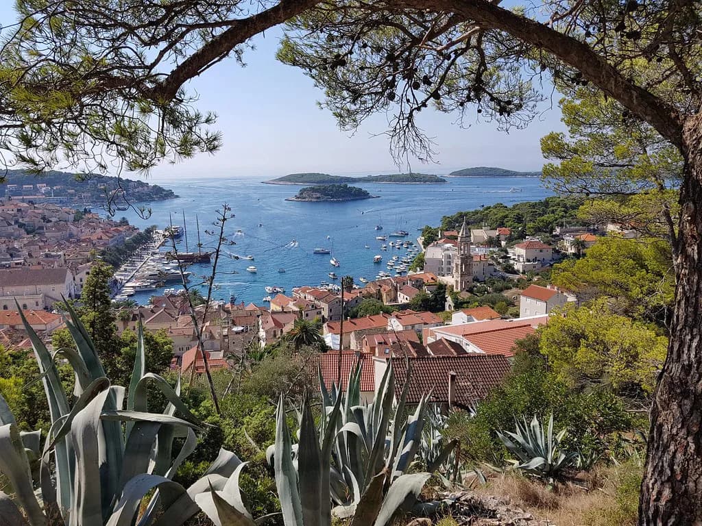
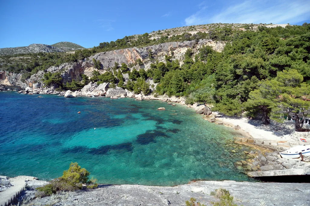
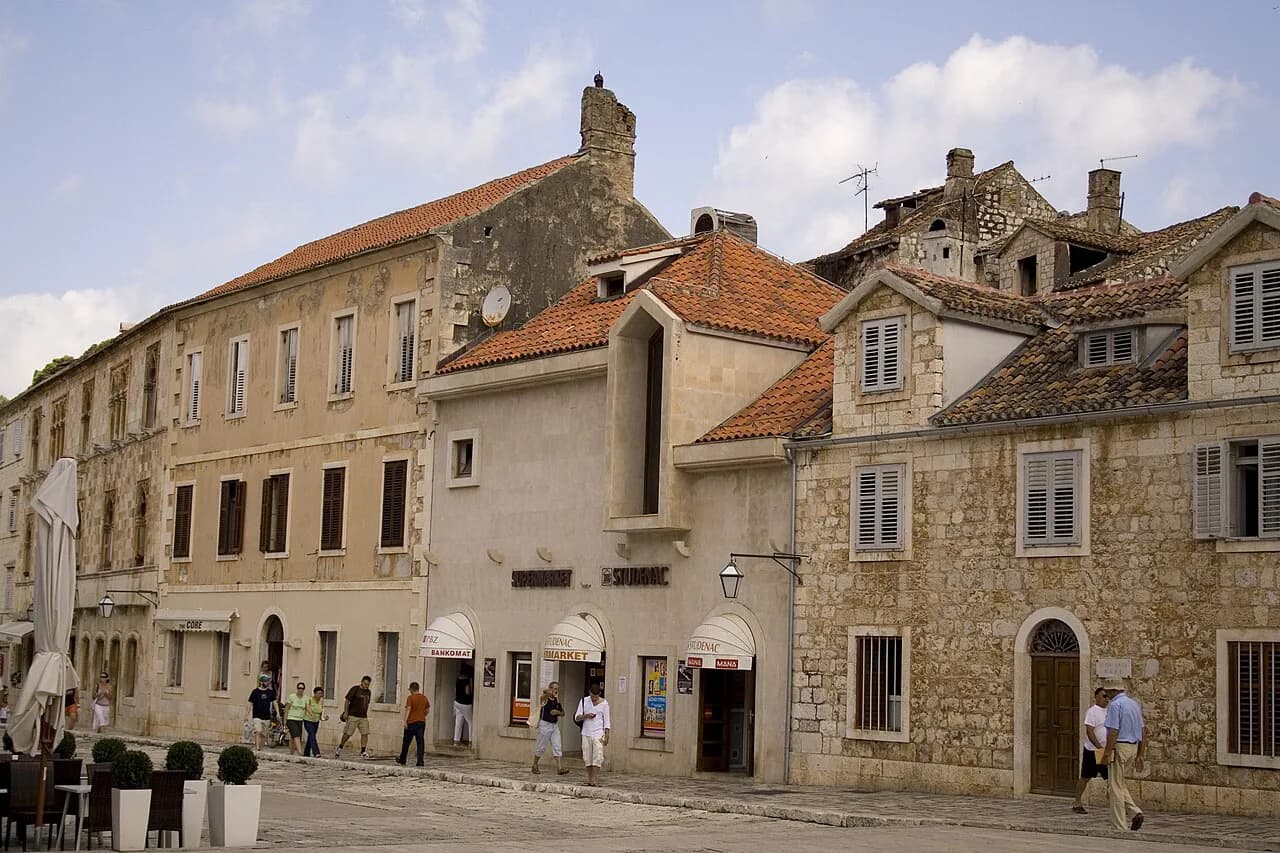
In Hvar Town the map has one organising line: the waterfront. The harbour curves around the north side of town, the open waterfront promenade runs along it, and the streets climb back from that edge into the older town behind. Find the harbour on the map and you have found your reference point for everything else.
Practically, this means most of what you will visit in town is within a short walk of the water, approached on foot rather than by vehicle. Orient yourself by the water first, then work inland; that habit prevents the usual arrival-day confusion of stepping off a boat and walking away from the centre rather than into it.
Getting off the boat: where ferries and catamarans arrive
Boats reaching Hvar arrive at different points depending on the service, so check which port your ticket names before you book: Hvar Town's harbour is the one most visitors picture, while Stari Grad, on the north coast, is the other main arrival point for the island. The two are not interchangeable, and arriving at the wrong one leaves you with a road transfer across the island.
Crossing times and frequencies vary by season and operator, so confirm them with the company you are sailing with, such as Jadrolinija, Krilo or TP Line, when you book. What the map tells you is the geography: which port sits where, and how much island lies between each one and your base.
The bus station and road connections on the island
Hvar Town's bus station is the hub for road travel on the island, with services running to Stari Grad, Jelsa and on towards Sućuraj along the main island road. On the map, that road is the spine of Hvar; almost every settlement of any size sits on or just off it, which makes the bus a realistic way to move between towns without a car.
What a map cannot tell you is when the buses run, and island services vary through the year. Rather than guessing from a printed sheet, look up the current timetable with the local bus station or Hvar's tourist office on the day you plan to travel.
Mainland links: Split, Brač and Pelješac
On an island map, look at the sea rather than the land. Hvar's western end faces Split and Brač across the water, and Sućuraj at the eastern tip looks across towards the mainland coast, which explains the different boat options on each side of the island. Understanding those two directions covers most of what the map is telling you about getting on and off Hvar.
For itinerary planning, the useful move is to sketch your route as a loop: arrive in the west, work along the island, and consider leaving from the east if your onward plan heads down the coast. Whether that works on your dates depends on which services are running that season, so confirm before committing.
What a printed tourist map of Hvar covers
A printed tourist map is built around attractions, marking monuments, museums, parks and sights rather than transport detail. CroMaps produces an Hvar Island tourist map of this kind, drawn to recommended dimensions of around 70 by 70 cm, with pricing set by size and material rather than a fixed shelf price, and delivery charged separately.
That is a good wall-and-planning map, and a poor substitute for a street-level town plan, because its scale suits the island rather than individual lanes. If you want something to mark up before you go and pin up while you plan, it does that job; if you want to navigate the backstreets of Hvar Town on foot, you need a finer map as well.
PDF and phone maps for offline use
Digital maps are the practical choice on the island, and two options cover most needs: a PDF you save to your phone or print before travelling, and a mapping app with the area downloaded for offline use. Both remove the risk of relying on a signal in a stone-built old town or on a coastal road with patchy coverage.
Download before you leave your accommodation rather than on arrival. A saved island map for road planning plus a town map for walking covers the whole trip, using a free app or a PDF you save in advance.
Common map mistakes on a long, narrow island
The first mistake is reading distance straight off the page: on Hvar, the long east–west road means the far ends of the island are a genuinely long drive, not a quick hop. The second is assuming one port serves the whole island, when Hvar Town and Stari Grad are separate arrival points serving different journeys.
The third is treating the map as a timetable. Road conditions, one-way streets in town and seasonal service changes all affect real travel time, and none of them appear on a tourist map. Build slack into any day that involves crossing the island in one direction.
Using the map to plan a half day or a full day in Hvar Town
For a half day, stay within the harbour curve: arrive, walk the waterfront, then take the streets climbing inland behind it, keeping the sea as your return marker. Everything sits within a compact area on foot, so no transport planning is needed and you can leave the island map in your bag.
For a full day, use the island map to add a second centre: Stari Grad or Jelsa on the north coast, reached by road from Hvar Town. Check the bus times for your return leg before you set out, because the last service of the day is the constraint that shapes the whole plan.
Which Hvar map to carry
Carry two: an island map, printed or saved as a PDF, for planning days and reading road distances honestly, and a fine-scale town map or offline app for walking Hvar Town. If you like planning on paper, the CroMaps tourist map is the one to look at, priced by size and material.
Before you travel, confirm your port of arrival and your onward boat, since Hvar Town and Stari Grad are not interchangeable. Get those two facts right and the maps do the rest.
Explore more Hvar guides
Sources
Notes from the Croatian coast
Optional updates when our guides change.
You might also like
Continue reading
More guides you'll find useful